Search Constraints
Search Results
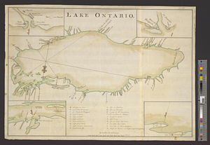
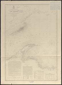
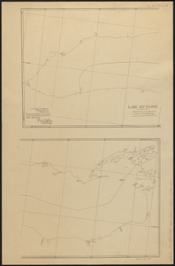
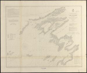
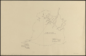
4701. Lake Ontario
![[Lake Ontario]](https://bpldcassets.blob.core.windows.net/derivatives/images/commonwealth:hx11xz576/image_thumbnail_300.jpg)
4702. [Lake Ontario]
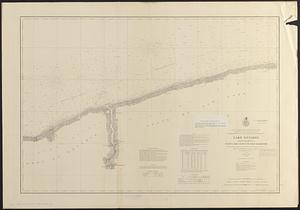
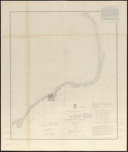
4703. Lake Ontario
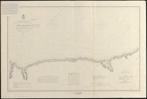
4704. Lake Ontario
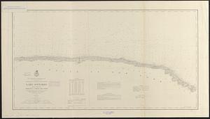
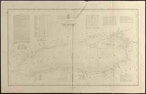
4705. Lake Ontario
4706. Lake Ontario
4707. Lake Ontario
4708. Lake Ontario
4709. Lake Ontario
![Lake Ontario & River S.t Laurence from the Lake to Fort William Augustus in Three Rivers, this was taken from a French Draft that was on Board the Prise Williamson belonging to Monsr La Broquerie [east sheet]](https://bpldcassets.blob.core.windows.net/derivatives/images/commonwealth:hx11z135r/image_thumbnail_300.jpg)
![Lake Ontario & River S.t Laurence from the Lake to Fort William Augustus in Three Rivers, this was taken from a French Draft that was on Board the Prise Williamson belonging to Monsr La Broquerie [middle sheet]](https://bpldcassets.blob.core.windows.net/derivatives/images/commonwealth:hx11z1379/image_thumbnail_300.jpg)
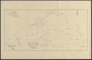
![Lake Ontario & River S.t Laurence from the Lake to Fort William Augustus in Three Rivers, this was taken from a French Draft that was on Board the Prise Williamson belonging to Monsr La Broquerie [west sheet]](https://bpldcassets.blob.core.windows.net/derivatives/images/commonwealth:hx11z139v/image_thumbnail_300.jpg)
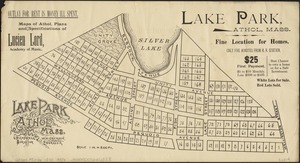
4713. Lake Park, Athol, Mass
![[Lake Pleasant, Massachusetts]](https://bpldcassets.blob.core.windows.net/derivatives/images/commonwealth:9s161g546/image_thumbnail_300.jpg)
4715. Lake St. Clair