Toggle navigation
LMEC Home
Exhibitions
Georeferencing
Tools for Teachers
Collections
My Favorites
Sign Up / Log In
Search
Search the map portal
Map Collection
Map Collection
Map Sets
Search
Search
Search for
Search In
All Fields
Creator
Title
Subject
Place
Search All Digital Collections
Advanced Search
104 Results
My Search
Start Over
Date
1919
Remove constraint Date: <span class='single'>1919</span>
Filter your Search
Place
North and Central America
70
United States
65
Europe
25
New England
15
Massachusetts
13
Czechoslovakia
8
New York
7
Austria
6
more
Place
»
Topic
New England--Maps--Early works to 1800--Facsimiles
12
Czechoslovakia--Maps
8
Czechoslovakia--Population--Maps
8
Industries--Czechoslovakia--Maps
8
Austria--Maps
6
Hungary--Maps
4
World maps
4
Ethnology--Europe--Maps
3
more
Topic
»
Date
1919
[remove]
104
Date range begin
–
Date range end
Current results range from
1770
to
1999
1919
to
1919
104
Creator
Smith, John, 1580-1631
9
Czechoslovakia. Service cartographique de l'armée
8
Geological Survey (U.S.)
7
Lesher, C. E. (Carl Eugene), 1885-
7
American Geographical Society of New York
4
Bromley, George Washington
3
Bromley, Walter Scott
3
Illinois State Geological Survey
3
more
Creator
»
Format
Maps/Atlases
103
Books
1
Photographs
1
Georeferenced
Yes
12
No
92
Collection
Norman B. Leventhal Map & Education Center Collection
99
Urban Maps
5
Boston and New England Maps
4
Massachusetts Real Estate Atlases
3
American Revolutionary War-Era Maps
1
Robert E. Diefenbach Map Collection at Phillips Academy
1
Sidney R. Knafel Map Collection at Phillips Academy
1
Available to use
No known restrictions
99
Creative Commons license
1
Search Constraints
Sort by relevance
relevance
title
date (asc)
date (desc)
Number of results to display per page
20 per page
10
per page
20
per page
50
per page
100
per page
View results as:
grid view
map view
Search Results
21.
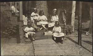
Family of Mrs. Donovan, Roxbury
22.
G. Freytags völker- und sprachenkarte von Österreich-Ungarn
23.
Gallup's map of Texas
24.
Geologic reconnaissance map of Mindanao
25.
Industrial map of New England
26.
J.M.E. Riedel's new street number guide map of Fort Wayne
27.
The Long Trail of the Green Mountain Club of Vermont : Monroe Skyline section : Glen Ellen to Lincoln-Warren Pass
28.
The Long Trail of the Green Mountain Club of Vermont : Smuggler's Notch: Morse's Mill to the Nose
29.
Manchester, N.H
30.
Map no. 245
31.
Map of Arkansas : from government and other authentic sources
32.
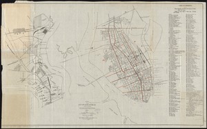
Map of city of Schenectady and village of Scotia, 1917
33.
Map of greater Baltimore, compiled from official records : area 91.93 sq. mi
34.
A map of New England and New York
35.
Map of Oshkosh
36.
[Map of parts of Venezuela and Colombia]
37.
Map of the Back Bay Fens showing the public ways bordering and crossing them and the neighboring newly laid out parts of...
38.
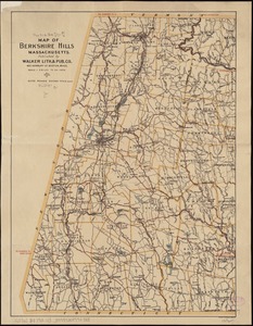
Map of the Berkshire Hills Massachusetts
39.
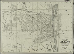
Map of the cities of Albany and Rensselaer, New York
40.
Map of the city of Charleston, S.C. and vicinity : with table of reference to principle buildings, points of historical interest
‹ Prev
Next ›
1
2
3
4
5
6


![[Map of parts of Venezuela and Colombia]](https://bpldcassets.blob.core.windows.net/derivatives/images/commonwealth:4m90fm18q/image_thumbnail_300.jpg)