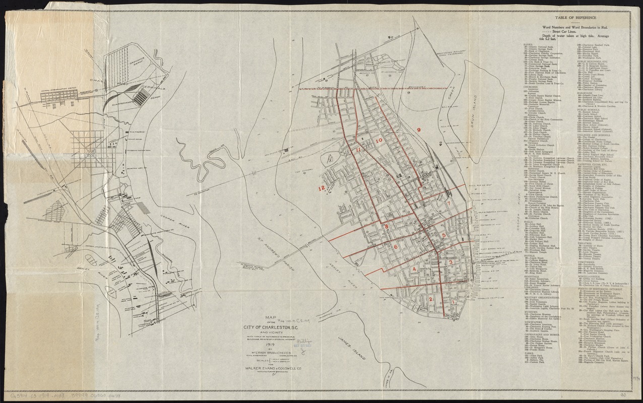
Map of the city of Charleston, S.C. and vicinity : with table of reference to principle buildings, points of historical interest
Item Information
- Title:
- Map of the city of Charleston, S.C. and vicinity : with table of reference to principle buildings, points of historical interest
- Title (alt.):
-
Map of Charleston, South Carolina and suburbs
- Creator:
- McCrady Bros. & Cheves
- Name on Item:
-
by McCrady Bros & Cheves, civil engineers.
- Date:
-
1919
- Format:
-
Maps/Atlases
- Location:
-
Boston Public Library
Norman B. Leventhal Map & Education Center - Collection (local):
-
Norman B. Leventhal Map & Education Center Collection
- Subjects:
-
North Charleston (S.C.)--Maps
Charleston (S.C.)--Maps
- Places:
-
South CarolinaCharleston (county)Charleston
- Extent:
- 2 maps on 1 sheet : col. ; 51 x 84 cm., folded in cover 20 x 13 cm.
- Terms of Use:
-
No known copyright restrictions.
No known restrictions on use.
- Publisher:
-
[Charleston, S.C.] :
Walker, Evans & Cogswell Co.
- Scale:
-
Scale [1:12,000]. 1 inch = 1000 ft.
Scale [1:24,000]. 1 inch = 2000 ft.
- Language:
-
English
- Table of Contents:
-
[Charleston]
[North Charleston].
- Notes:
-
Includes references to points of interest.
- Identifier:
-
06_01_010977
- Call #:
-
G3914.C3 1919 .M33
- Barcode:
-
39999065680678


