Industrial map of New England
Item Information
- Title:
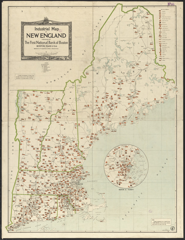
- Industrial map of New England
- Cartographer:
- General Drafting Company
- Publisher:
- First National Bank of Boston
- Name on Item:
-
compiled, engraved & printed by General Drafting Co.
- Date:
-
[1919]
- Format:
-
Maps/Atlases
- Location:
-
Boston Public Library
Norman B. Leventhal Map & Education Center - Collection (local):
-
Norman B. Leventhal Map & Education Center Collection
- Subjects:
-
Industries--New England--Maps
New England--Maps
- Places:
-
New England (area)
- Extent:
- 1 map : col. ; 115 x 86 cm.
- Terms of Use:
-
No known copyright restrictions.
No known restrictions on use.
- Publisher:
-
Boston :
First National Bank of Boston
- Scale:
-
Scale [ca. 1:624,000]
- Language:
-
English
- Notes:
-
Inset: Boston & vicinity.
Manufacturing activity shown pictorially.
On verso: Alphabetical list of industrial towns in New England with their principal industries.
Date of publication from article in "Commercial and financial chronicle" May 24, 1919.
- Notes (date):
-
This date is inferred.
- Identifier:
-
06_01_015927
- Call #:
-
G3721.M1 1919 .G46x
- Barcode:
-
39999065656892


