Toggle navigation
LMEC Home
Exhibitions
Georeferencing
Tools for Teachers
Collections
My Favorites
Sign Up / Log In
Search
Search the map portal
Map Collection
Map Collection
Map Sets
Search
Search
Search for
Search In
All Fields
Creator
Title
Subject
Place
Search All Digital Collections
Advanced Search
145 Results
My Search
Start Over
1893
Remove constraint 1893
Filter your Search
Place
North and Central America
113
United States
87
Hancock (county)
11
Suffolk (county)
11
Boston
10
Mount Desert Island
10
Canada
9
Massachusetts
8
more
Place
»
Topic
Mount Desert Island (Me.)--Maps
10
Boston (Mass.)--Maps
9
Trails--Maine--Mount Desert Island--Maps
7
Massachusetts--Maps
6
Canada--Boundaries--United States--Maps
5
United States--Boundaries--Canada--Maps
5
United States--Maps
5
British Columbia--Boundaries--Washington (State)--Maps
3
more
Topic
»
Date
Date range begin
–
Date range end
Current results range from
1752
to
1983
View distribution
Creator
Colton, J. H. (Joseph Hutchins), 1800-1893
24
Bates, Waldron.
9
U.S. Lake Survey
9
United States. Congress (53rd, 2nd session : 1893-1894). House
9
Meade, George Gordon, 1815-1872
8
Moore, John Bassett, 1860-1947
8
Bartholomew, John, 1831-1893
7
Lange, Henry, 1821-1893
7
more
Creator
»
Format
Maps/Atlases
144
Manuscripts
1
Prints
1
Georeferenced
Yes
23
No
122
Collection
Norman B. Leventhal Map Center Collection
135
Boston and New England Maps
45
Urban Maps
35
Maritime Charts and Atlases
10
Robert E. Diefenbach Map Collection at Phillips Academy
5
David Judkins Weaver Papers
2
Massachusetts Real Estate Atlases
2
American Revolutionary War-Era Maps
1
more
Collection
»
Available to use
No known restrictions
140
Creative Commons license
2
Search Constraints
Sort by relevance
relevance
title
date (asc)
date (desc)
Number of results to display per page
20 per page
10
per page
20
per page
50
per page
100
per page
View results as:
grid view
map view
Search Results
21.
City of Chelsea with the location of its churches, schools and principal industries
22.
Eisenbahn, post und dampfschiffskarte von Europa = Railway, steam-boat and post map of Europe = Carte des chemins de fer, voies...
23.
Türkei und Griechenland
24.
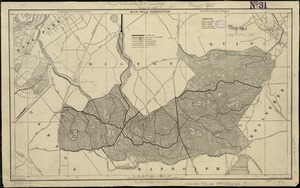
Blue Hills Reservation
25.
Map of the metropolitan district of Boston, Massachusetts : showing the existing public reservations and such new open spaces...
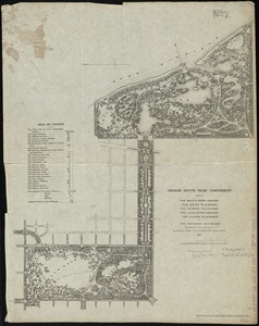
26.
Plan of the South Open Ground, the Upper Plaisance, the Midway Plaisance, the Lake Open Ground, the Lagoon Plaisance and the...
27.
Sketch plan showing the existing and proposed public reservations upon the banks of the Charles between Waltham line and...
28.
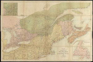
Dawson's map of the Dominion of Canada
29.
New map of the Dominion of Canada
30.
A canoeist's guide to New England's rivers
31.
Colton's Georgetown and the city of Washington : the capital of the United States of America ; Colton's map showing part of...
32.
Colton's map of the oil district of West Virginia and Ohio
33.
Colton's map of the seat of war in Virginia : showing minutely the interesting localities in the vicinity of Richmond
34.
Colton's map of the state of Indiana : compiled from the United States surveys & other authentic sources ; exhibiting sections,...
35.
Colton's map of the United States of America, the British provinces, Mexico and the West Indies : showing the country from the...
36.
Colton's New Hampshire
37.
Colton's new railroad & county map of the United States, the Canadas &c
38.
Colton's new topographical map of the eastern portion of the State of North Carolina with part of Virginia & South Carolina...
39.
Colton's new topographical map of the states of Virginia, Maryland & Delaware, showing also eastern Tennessee & parts of other...
40.
Colton's plans of U.S. harbors : showing the position & vicinities of the most important fortifications on the sea-board and in...
‹ Prev
Next ›
1
2
3
4
5
6
7
8