Toggle navigation
LMEC Home
Exhibitions
Georeferencing
Tools for Teachers
Collections
My Favorites
Sign Up / Log In
Search
Search the map portal
Map Collection
Map Collection
Map Sets
Search
Search
Search for
Search In
All Fields
Creator
Title
Subject
Place
Search All Digital Collections
Advanced Search
1070 Results
My Search
Start Over
Back Bay Boston
Remove constraint Back Bay Boston
Filter your Search
Place
North and Central America
821
United States
521
Massachusetts
229
Suffolk (county)
176
Boston
171
Canada
115
South America
62
Asia
61
more
Place
»
Topic
Boston (Mass.)--Maps
60
City planning--Massachusetts--Boston--Maps
48
Back Bay (Boston, Mass.)--Maps
46
North America--Maps--Early works to 1800
34
Landowners--Massachusetts--Boston--Maps
26
Real property--Massachusetts--Boston--Maps
25
New England--Maps--Early works to 1800
24
Nova Scotia--Maps--Early works to 1800
24
more
Topic
»
Date
Date range begin
–
Date range end
Current results range from
1565
to
2020
View distribution
Creator
United States. Hydrographic Office
276
Des Barres, Joseph F. W. (Joseph Frederick Wallet), 1722-1824
64
Boston Redevelopment Authority
35
Jefferys, Thomas, -1771
24
Sayer, Robert, 1725-1794
24
Franke, M. (Max)
23
U.S. Lake Survey
22
United States Exploring Expedition (1838-1842)
21
more
Creator
»
Format
Maps/Atlases
1,056
Manuscripts
69
Drawings/Illustrations
10
Objects/Artifacts
3
Prints
3
Books
1
Georeferenced
Yes
54
No
1,016
Collection
Norman B. Leventhal Map & Education Center Collection
932
Maritime Charts and Atlases
477
Boston and New England Maps
258
American Revolutionary War-Era Maps
230
Urban Maps
136
Boston Redevelopment Authority Collection
54
Mapping Boston Collection
39
Library of Congress Collection
35
more
Collection
»
Available to use
No known restrictions
933
Creative Commons license
112
Search Constraints
Sort by relevance
relevance
title
date (asc)
date (desc)
Number of results to display per page
20 per page
10
per page
20
per page
50
per page
100
per page
View results as:
grid view
map view
Search Results
221.
Coast of Maine from Moose Cove to Gouldsboro Bay
222.
Coast of Maine from Moose Cove to Gouldsboro Bay
223.
Plan of Waquoit Bay in the town of Falmouth
224.
[Coast of Maine from Frenchman Bay to Mosquito Harbor]
225.
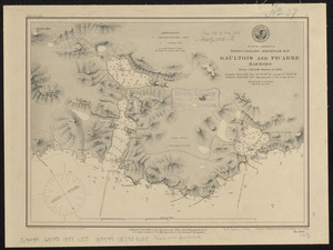
North America, Newfoundland, Hermitage Bay, Gaultois and Picarre Harbors : from a British survey in 1883
226.
Portage Lake and River with part of Keweenaw Bay
227.
Seagull Harbour, Gretton Bay, Wollaston Island, Tierra del Fuego
228.
Seagull Harbour, Gretton Bay, Wollaston Island, Tierra del Fuego
229.
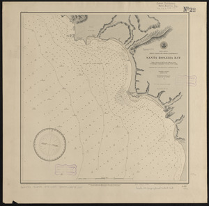
North America, west coast of lower California, Santa Rosalia Bay : from a survey in 1887 by the officers of the U.S.S. Ranger,...
230.
North Pacific Ocean, Loo Choo Archipelago-- Ou-sima, Hancock Bay : from British surveys in 1872 & 1882
231.
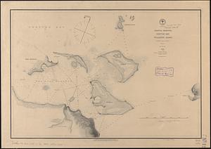
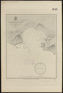
Central America, west coast of Costa Rica, Piedra Blanca Bay : from a survey in 1885 by the officers of the U.S.S. Ranger,...
232.
Central America, west coast of Costa Rica, Potrero Grande Bay : from a survey in 1885 by the officers of the U.S.S. Ranger,...
233.
Africa--east coast, coast of Zanzibar, Mchinga Bay (Port Nungwa) : from a British survey by the officers of H.M.S. Nassau, 1874...
234.
Birds eye view of Casco Bay, Portland, Maine, and surroundings
235.
Dominion of Canada, New Brunswick, L'Etang Harbor (Bay of Fundy) : from a British survey in 1847
236.
Dominion of Canada, New Brunswick, Port Saint Andrews (Passamaquoddy Bay) : from a British survey in 1844
237.
North America, west coast of Mexico, Tenacatita and Navidad Bays : surveyed by the officers of the U.S.S. Ranger, Commander...
238.
South Pacific Ocean, Samoan Group, Fangaloa Bay (Island of Upolu)
239.
South America--west coast, Chile, Coquimbo Bay and Port Herradura : from a survey by the officers of H.B.M.S. Nassau, 1868 ;...
240.
North America, west coast of lower California, San Quentin Bay : from a survey in 1886 by the officers of the U.S.S. Ranger,...
‹ Prev
Next ›
1
2
…
8
9
10
11
12
13
14
15
16
…
53
54


![[Coast of Maine from Frenchman Bay to Mosquito Harbor]](https://bpldcassets.blob.core.windows.net/derivatives/images/commonwealth:cj82m295n/image_thumbnail_300.jpg)