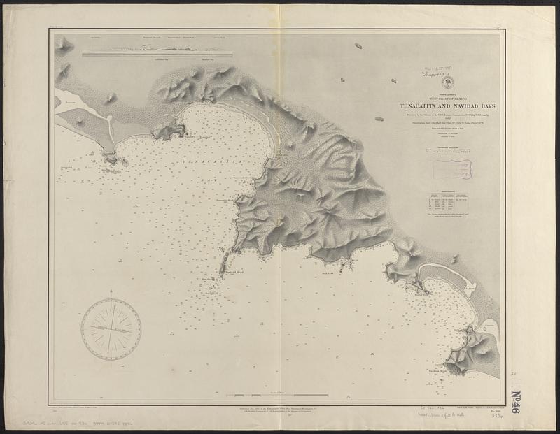
North America, west coast of Mexico, Tenacatita and Navidad Bays : surveyed by the officers of the U.S.S. Ranger, Commander J.W. Philip U.S.N. comd'g, 1882
Item Information
- Title:
- North America, west coast of Mexico, Tenacatita and Navidad Bays : surveyed by the officers of the U.S.S. Ranger, Commander J.W. Philip U.S.N. comd'g, 1882
- Issuing body:
- United States. Hydrographic Office
- Engraver:
- Bartle, R. F. (Rudolph F.)
- Engraver:
- Birch, C. E. (Charles E.)
- Draftsman:
- Franke, M. (Max)
- Name on Item:
-
drawn by M. Franke ; engraved by C.E. Birch and R.F. Bartle
- Date:
-
1885
- Format:
-
Maps/Atlases
- Genre:
-
Nautical charts
- Location:
-
Boston Public Library
Norman B. Leventhal Map & Education Center - Collection (local):
-
Norman B. Leventhal Map & Education Center Collection
- Subjects:
-
Tenacatita Bay (Mexico)--Maps
Navidad Bay (Mexico)--Maps
Nautical charts--Mexico--Tenacatita Bay
Nautical charts--Mexico--Navidad Bay
- Places:
-
MexicoJaliscoTenacatita, Bahía (bay)
MexicoJaliscoNavidad, Bahía (bay)
- Extent:
- 1 map ; 54 x 66 cm
- Terms of Use:
-
No known copyright restrictions.
No known restrictions on use.
- Publisher:
-
Washington, D.C. :
Hydrographic Office
- Scale:
-
Scale approximately 1:37,300
- Language:
-
English
- Notes:
-
Relief shown by contours, shading and spot heights. Depths shown by soundings and isolines.
Includes view of Tenacatita Bay.
- Identifier:
-
06_01_017429
- Call #:
-
G9096.P5 svar .U55 no. 936
- Barcode:
-
39999085958856


