Toggle navigation
LMEC Home
Exhibitions
Georeferencing
Tools for Teachers
Collections
My Favorites
Sign Up / Log In
Search
Search the map portal
Map Collection
Map Collection
Map Sets
Search
Search
Search for
Search In
All Fields
Creator
Title
Subject
Place
Search All Digital Collections
Advanced Search
1077 Results
My Search
Start Over
More Like
commonwealth-oai:vd670z11k
Remove constraint More Like: commonwealth-oai:vd670z11k
Filter your Search
Place
North and Central America
1,051
United States
769
Canada
256
New York
213
New England
124
Quebec
114
Pennsylvania
64
Massachusetts
61
more
Place
»
Topic
United States--History--Revolution, 1775-1783--Maps
306
United States--History--French and Indian War, 1754-1763--Maps
152
New England--Maps
127
Canada--Maps
55
Railroads--New England--Maps
50
New York (State)--Maps
43
Saint Lawrence River--Maps
43
United States--Maps
36
more
Topic
»
Date
Date range begin
–
Date range end
Current results range from
1700
to
2015
View distribution
Creator
Rocque, Mary Ann
29
Bellin, Jacques Nicolas, 1703-1772
26
Holland, Samuel, 1728-1801
25
Jefferys, Thomas, -1771
25
Montrésor, John, 1736-1799
25
Clinton, Henry, Sir, 1738?-1795
19
Robert Sayer and John Bennett (Firm)
17
Hills, John, active 1777-1819
13
more
Creator
»
Format
Maps/Atlases
1,061
Drawings/Illustrations
11
Documents
5
Manuscripts
1
Prints
1
Georeferenced
Yes
23
No
1,054
Collection
American Revolutionary War-Era Maps
934
William L. Clements Library Collection
909
Norman B. Leventhal Map & Education Center Collection
138
Boston and New England Maps
78
American Antiquarian Society Collection
20
David Judkins Weaver Papers
4
Sidney R. Knafel Map Collection at Phillips Academy
4
MacLean Collection Map Library
3
more
Collection
»
Available to use
No known restrictions
138
Creative Commons license
3
Search Constraints
Sort by relevance
relevance
title
date (asc)
date (desc)
Number of results to display per page
20 per page
10
per page
20
per page
50
per page
100
per page
View results as:
grid view
map view
Search Results
961.
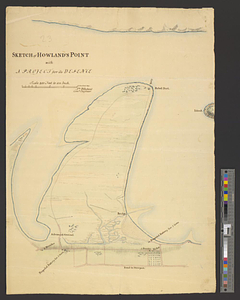
Sketch of Howland's Point with a project for its defence
962.
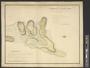
A sketch of Lloyd's Neck : particularly shewing the situation of the redoubt, encampment of the troops, with the ground...
963.
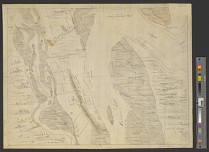
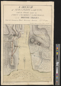
A sketch of New-London or Groton, with the attacks made on Forts Trumbull & Griswold by the British troops under the command of...
964.
A sketch of part of the island of Ste Lucie
965.
Sketch of part of the island of Ste. Lucie : computed at about 2500 feet to 1 inch
966.
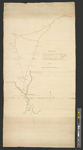
A sketch of part of the river St. John on the north side of the Bay of Fundy from Partridge Island in the latitude of 45.22...
967.
Sketch of part of the road from Freehold to Midde Town shewing the skirmish between the rear of the British army under the...
968.
Sketch of Presque Isle
969.
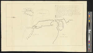
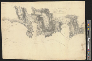
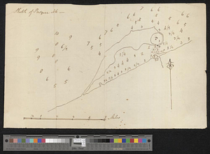
A sketch of St. Augustin [sic] Harbour &c.
970.
Sketch of St. Augustine and its environs
971.
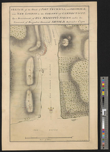
Sketch of the attack of Fort Trumbull, and Griswold, near New London in the colony of Connecticut, by a detachment of his...
972.
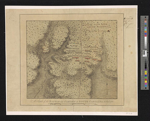
A sketch of the battle near Camden in South Carolina 16 Augst. 1780
973.
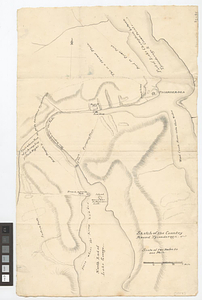
Sketch of the country from Fort Du Quesne to Niagara as described by an intelligent Indian who had resided there for a...
974.
Sketch of the country illustrating the late engagement in Long Island
975.
Sketch of the country round Tyconderoga
976.
A sketch of the disposition of the force at New York for the defence of the port
977.
A sketch of the east end of the peninsula where on is Hampton
978.
A sketch of the entrance from the sea to Apalachy and part of the environs
979.
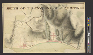
Sketch of the environs of Charlotteville
980.
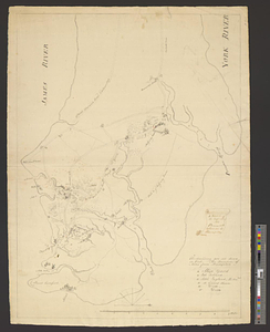
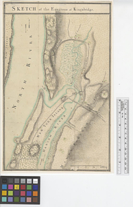
Sketch of the environs of King's bridge
‹ Prev
Next ›
1
2
…
45
46
47
48
49
50
51
52
53
54
![A sketch of St. Augustin [sic] Harbour &c.](https://bpldcassets.blob.core.windows.net/derivatives/metadata/commonwealth-oai:vd670z134/image_thumbnail_300.jpg)