Toggle navigation
LMEC Home
Exhibitions
Georeferencing
Tools for Teachers
Collections
My Favorites
Sign Up / Log In
Search
Search the map portal
Map Collection
Map Collection
Map Sets
Search
Search
Search for
Search In
All Fields
Creator
Title
Subject
Place
Search All Digital Collections
Advanced Search
1676 Results
My Search
Start Over
More Like
commonwealth-oai:sj13f069k
Remove constraint More Like: commonwealth-oai:sj13f069k
Filter your Search
Place
North and Central America
1,647
United States
1,385
Suffolk (county)
761
Boston
754
Massachusetts
678
Canada
205
New York
195
Quebec
111
more
Place
»
Topic
Boston (Mass.)--Maps
752
United States--History--Revolution, 1775-1783--Maps
330
United States--History--French and Indian War, 1754-1763--Maps
149
City planning--Massachusetts--Boston--Maps
104
Real property--Massachusetts--Boston--Maps
99
Landowners--Massachusetts--Boston--Maps
74
Urban renewal--Massachusetts--Boston--Maps
63
Massachusetts--Maps
55
more
Topic
»
Date
Date range begin
–
Date range end
Current results range from
1700
to
2023
View distribution
Creator
Boston Redevelopment Authority
114
Rocque, Mary Ann
29
Geo. H. Walker & Co
27
Holland, Samuel, 1728-1801
25
Jefferys, Thomas, -1771
25
Montrésor, John, 1736-1799
25
Bellin, Jacques Nicolas, 1703-1772
24
Boynton, George W., d. 1884
21
more
Creator
»
Format
Maps/Atlases
1,660
Manuscripts
13
Drawings/Illustrations
11
Documents
5
Prints
1
Georeferenced
Yes
97
No
1,579
Collection
American Revolutionary War-Era Maps
942
William L. Clements Library Collection
909
Norman B. Leventhal Map & Education Center Collection
623
Boston and New England Maps
584
Urban Maps
493
Boston Redevelopment Authority Collection
120
Mapping Boston Collection
20
Maps from AAS
14
more
Collection
»
Available to use
No known restrictions
696
Creative Commons license
38
Search Constraints
Sort by relevance
relevance
title
date (asc)
date (desc)
Number of results to display per page
20 per page
10
per page
20
per page
50
per page
100
per page
View results as:
grid view
map view
Search Results
21.
Blackwell's Island
22.
Boston Harbor
23.
Boston Harbor, 1778
24.
Bridge from Staten Island to the Jersies, by Cn. Laird's description
25.
British capture of Savannah
26.
British troop dispositions in and near New York City
27.
British troop dispositions in and near New York City, July and August 1781
28.
British troop dispositions in and near New York City, Sept. 2d 1781
29.
The British works at Yorktown and Gloucester
30.
Burlington, New Jersey, and Bristol, Pennsylvania
31.
Cambridge to Prospect Hill
32.
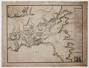
Carte de la prise de la Grenade par Mr. Cmte. d'Estaing, le 5 juillet 1779
33.
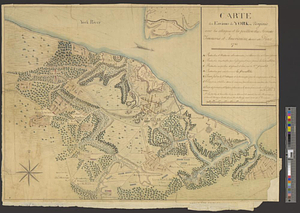
Carte des environs de York en Virginie avec les attaques et la position des armées Françoise et Américaine, devant cette place...
34.
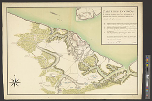
Carte des environs de York en Virginie avec les attaques et la position des armées Françoise et Américaine devant cette place...
35.
Charles Town, South Carolina, with a chart of the bars & harbour
36.
Charleston and its approaches from the sea
37.
Charleston and the British attack of June 1776
38.
A chart of the harbour of Rhode Island and Narraganset Bay surveyed in pursuance of directions from the Lords of Trade to His...
39.
A chorographical map of the country round Philadelphia = Carte particuliere des environs de Philadelphia
40.
A compleat plan of part of the province of Pennsylvania East and West Jersey shewing the transactions of the royal army under...
‹ Prev
Next ›
1
2
3
4
5
6
…
83
84