Toggle navigation
LMEC Home
Exhibitions
Georeferencing
Tools for Teachers
Collections
My Favorites
Sign Up / Log In
Search
Search the map portal
Map Collection
Map Collection
Map Sets
Search
Search
Search for
Search In
All Fields
Creator
Title
Subject
Place
Search All Digital Collections
Advanced Search
1055 Results
My Search
Start Over
More Like
commonwealth-oai:kp78mc90b
Remove constraint More Like: commonwealth-oai:kp78mc90b
Filter your Search
Place
North and Central America
1,027
United States
745
New York
251
Canada
220
Quebec
118
Pennsylvania
69
Maine
66
New Jersey
65
more
Place
»
Topic
United States--History--Revolution, 1775-1783--Maps
330
United States--History--French and Indian War, 1754-1763--Maps
150
New York (State)--Maps
85
Maine--Maps
55
Saint Lawrence River--Maps
44
New England--Maps
28
Newport (R.I.)--Maps
27
Pennsylvania--Maps
27
more
Topic
»
Date
Date range begin
–
Date range end
Current results range from
1700
to
1983
View distribution
Creator
Rocque, Mary Ann
29
Holland, Samuel, 1728-1801
27
Montrésor, John, 1736-1799
26
Bellin, Jacques Nicolas, 1703-1772
25
Jefferys, Thomas, -1771
25
Clinton, Henry, Sir, 1738?-1795
19
Robert Sayer and John Bennett (Firm)
17
Hills, John, active 1777-1819
13
more
Creator
»
Format
Maps/Atlases
1,039
Drawings/Illustrations
11
Manuscripts
9
Documents
5
Objects/Artifacts
1
Prints
1
Georeferenced
Yes
12
No
1,043
Collection
American Revolutionary War-Era Maps
960
William L. Clements Library Collection
909
Norman B. Leventhal Map & Education Center Collection
96
Boston and New England Maps
50
American Antiquarian Society Collection
24
MacLean Collection Map Library
10
Applied Geographics, Inc. Records
4
Library and Archives Canada Collection
4
more
Collection
»
Available to use
No known restrictions
99
Creative Commons license
5
Search Constraints
Sort by relevance
relevance
title
date (asc)
date (desc)
Number of results to display per page
20 per page
10
per page
20
per page
50
per page
100
per page
View results as:
grid view
map view
Search Results
701.
A new and accurate map of New Jersey, from the best authorities
702.
A new and accurate map of North America laid down according to the latest and most approved observations, and discoveries
703.
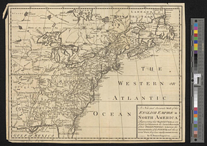
A new and accurate map of the English empire in North America : representing their rightful claim as confirm'd by charters, &...
704.
A new and accurate map of the English empire in North America : representing their rightful claim as confirm'd by charters, and...
705.
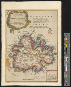
A new and accurate map of the island of Antigua or Antego, taken from surveys and adjusted by astronl. observations, containing...
706.
A new and accurate map of the present war in North America
707.
A new and accurate map of the province of Nova Scotia, in North America; from the latest observations
708.
A new and correct map of the American islands, now called the West Indies, with the whole coast of the neighbouring continent
709.
A new map of Canada, also the north parts of New England and New York; with Nova Scotia and Newfound Land
710.
A new map of North America from the latest discoveries 1761
711.
A new map of North America from the latest discoveries 1763
712.
A new map of the British dominions in North America with the limits of the governments annexed thereto by the late treaty of...
713.
A new map of the British empire in Nth. America, drawn from the latest authorities
714.
A new map of the Cherokee nation with the names of the towns & rivers : they are situated on no. lat. from 34 to 36
715.
A new map of the western parts of Virginia, Pennsylvania, Maryland and North Carolina; comprehending the river Ohio, and all...
716.
New Port
717.
North America
718.
North America
719.
North America east of the Mississippi, ca. 1790
720.
North America with the West India islands
‹ Prev
Next ›
1
2
…
32
33
34
35
36
37
38
39
40
…
52
53