Toggle navigation
LMEC Home
Exhibitions
Georeferencing
Tools for Teachers
Collections
My Favorites
Sign Up / Log In
Search
Search the map portal
Map Collection
Map Collection
Map Sets
Search
Search
Search for
Search In
All Fields
Creator
Title
Subject
Place
Search All Digital Collections
Advanced Search
1055 Results
My Search
Start Over
More Like
commonwealth-oai:kp78mc90b
Remove constraint More Like: commonwealth-oai:kp78mc90b
Filter your Search
Place
North and Central America
1,027
United States
757
New York
252
Canada
220
Quebec
118
Pennsylvania
69
Maine
66
New Jersey
66
more
Place
»
Topic
United States--History--Revolution, 1775-1783--Maps
330
United States--History--French and Indian War, 1754-1763--Maps
150
New York (State)--Maps
85
Maine--Maps
55
Saint Lawrence River--Maps
44
New England--Maps
28
Newport (R.I.)--Maps
27
Pennsylvania--Maps
27
more
Topic
»
Date
Date range begin
–
Date range end
Current results range from
1700
to
1983
View distribution
Creator
Rocque, Mary Ann
29
Holland, Samuel, 1728-1801
27
Montrésor, John, 1736-1799
26
Bellin, Jacques Nicolas, 1703-1772
25
Jefferys, Thomas, -1771
25
Clinton, Henry, Sir, 1738?-1795
19
Robert Sayer and John Bennett (Firm)
17
Hills, John, active 1777-1819
13
more
Creator
»
Format
Maps/Atlases
1,039
Drawings/Illustrations
11
Manuscripts
9
Documents
5
Objects/Artifacts
1
Prints
1
Georeferenced
Yes
12
No
1,043
Collection
American Revolutionary War-Era Maps
960
William L. Clements Library Collection
909
Norman B. Leventhal Map & Education Center Collection
96
Boston and New England Maps
50
Maps from AAS
24
MacLean Collection Map Library
10
Applied Geographics, Inc. Records
4
Library and Archives Canada Collection
4
more
Collection
»
Available to use
No known restrictions
99
Creative Commons license
5
Search Constraints
Sort by relevance
relevance
title
date (asc)
date (desc)
Number of results to display per page
20 per page
10
per page
20
per page
50
per page
100
per page
View results as:
grid view
map view
Search Results
381.
The Province of Maine, from the best authorities 1795
382.
Rand McNally official 1924 auto trails map Maine ; Rand McNally official 1924 auto trails map New Hampshire, Vermont
383.
Route and pictorial map of Maine
384.
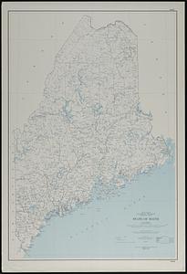
State of Maine
385.
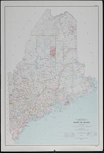
State of Maine
386.
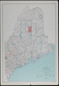
State of Maine
387.
State of Maine : base map with highways and contours
388.
State of Maine : base map with highways and contours
389.
State of Maine : base map
390.
This plan represents par of the Bay of Passamoquoddy : the rivers Scoodic and Passamaquoddy which empty into said bay being an...
391.
This plan represents within the red lines twenty two townships of land situate between the million acres located on the River...
392.
1st. sheet of De Witt's state-map of New York
393.
Carte de la Nouvelle Angleterre, Nouvelle Yorck, et Pensilvanie. : Pour servir à l'Histoire générale des voyages
394.
Connecticut with portions of New York & Rhode Island
395.
E.P. Dutton & Co.'s railroad, steam boat & stage route map of New England, New-York and Canada
396.
An Exact map of New England, New York, Pensylvania & New Jersey, : from the latest surveys
397.
Hale's map of the central & western parts of Massachusetts, with a part of New-York
398.
Krigs theatren i America = Seat of war in America
399.
Map exhibiting the rail road, canal, lake and river routes from New York and Boston to the west, via Ogdensburgh, Buffalo and...
400.
Map exhibiting the rail road routes leading from Boston, to Ogdensburg and Buffalo, N.Y
‹ Prev
Next ›
1
2
…
16
17
18
19
20
21
22
23
24
…
52
53