Toggle navigation
LMEC Home
Exhibitions
Georeferencing
Tools for Teachers
Collections
My Favorites
Sign Up / Log In
Search
Search the map portal
Map Collection
Map Collection
Map Sets
Search
Search
Search for
Search In
All Fields
Creator
Title
Subject
Place
Search All Digital Collections
Advanced Search
1014 Results
My Search
Start Over
More Like
commonwealth-oai:gh93mw54n
Remove constraint More Like: commonwealth-oai:gh93mw54n
Filter your Search
Place
North and Central America
986
United States
724
New York
252
Canada
208
Quebec
112
New Jersey
81
Pennsylvania
71
Massachusetts
52
more
Place
»
Topic
United States--History--Revolution, 1775-1783--Maps
330
United States--History--French and Indian War, 1754-1763--Maps
150
New York (State)--Maps
85
Saint Lawrence River--Maps
43
New Jersey--Maps
40
Pennsylvania--Maps
29
Newport (R.I.)--Maps
27
Hudson River (N.Y. and N.J.)--Maps
23
more
Topic
»
Date
Date range begin
–
Date range end
Current results range from
1700
to
1976
View distribution
Creator
Rocque, Mary Ann
29
Holland, Samuel, 1728-1801
26
Bellin, Jacques Nicolas, 1703-1772
25
Jefferys, Thomas, -1771
25
Montrésor, John, 1736-1799
25
Clinton, Henry, Sir, 1738?-1795
19
Robert Sayer and John Bennett (Firm)
16
Hills, John, active 1777-1819
13
more
Creator
»
Format
Maps/Atlases
998
Drawings/Illustrations
11
Manuscripts
6
Documents
5
Prints
1
Georeferenced
Yes
21
No
993
Collection
American Revolutionary War-Era Maps
949
William L. Clements Library Collection
909
Norman B. Leventhal Map & Education Center Collection
69
Boston and New England Maps
18
Maps from AAS
17
MacLean Collection Map Library
7
New-York Historical Society Collection
3
Newberry Library Collection
3
more
Collection
»
Available to use
No known restrictions
72
Creative Commons license
6
Search Constraints
Sort by relevance
relevance
title
date (asc)
date (desc)
Number of results to display per page
20 per page
10
per page
20
per page
50
per page
100
per page
View results as:
grid view
map view
Search Results
361.
Map of Morris's Purchase or West Geneseo in the state of New York : exhibiting part of the Lakes Erie and Ontario, the...
362.
A Map of New England & ye country adjacent, : extending northward to Quebec, & westward to Niagara, on Lake Ontario; shewing...
363.
Map of New England exhibiting the rail road & telegraphic lines now in operation
364.
A Map of that part of America which was the principal seat of war in 1756
365.
A Map of the country between Crown Point and Ford Edward
366.
Map of the country embracing the several routes examined with a view to a national road from Washington to Lake Ontario
367.
Map of the eastern division and branches, Erie Railway
368.
A map of the history of New York state
369.
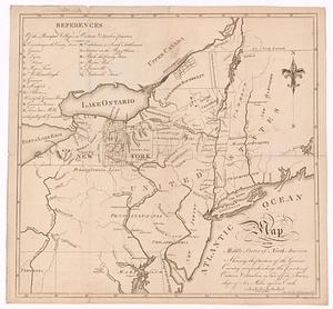
A map of the middle states of North America, shewing the position of the Geneseo country comprehending the counties of Ontario...
370.
Map of the New York Central & Hudson River and Boston & Albany Railroads : sea shore and summer resorts of New York and New...
371.
Map of the northern part of the state of New York
372.
A map of the Seneca villages and the Jesuit and French contacts 1615-1708
373.
Map of the several routes from Rochester to Buffalo : compiled from county maps and actual surveys in the office of the...
374.
Map of the Sodus Canal, and the internal improvements connecting with it forming the great route from the Atlantic to the Lakes
375.
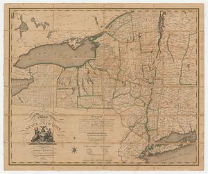
A map of the state of New York
376.
Map of the state of New York
377.
Map of the State of New York
378.
A map of the State of New York
379.
A map of the state of New York
380.
Map of the State of New-York : showing its water and rail road lines, Jany. 1854
‹ Prev
Next ›
1
2
…
15
16
17
18
19
20
21
22
23
…
50
51