Toggle navigation
LMEC Home
Exhibitions
Georeferencing
Tools for Teachers
Collections
My Favorites
Sign Up / Log In
Search
Search the map portal
Map Collection
Map Collection
Map Sets
Search
Search
Search for
Search In
All Fields
Creator
Title
Subject
Place
Search All Digital Collections
Advanced Search
937 Results
My Search
Start Over
More Like
commonwealth-oai:bv73gz08m
Remove constraint More Like: commonwealth-oai:bv73gz08m
Filter your Search
Place
North and Central America
911
United States
651
Canada
205
New York
196
Quebec
111
Pennsylvania
65
New Jersey
57
Nova Scotia
48
more
Place
»
Topic
United States--History--Revolution, 1775-1783--Maps
305
United States--History--French and Indian War, 1754-1763--Maps
149
Saint Lawrence River--Maps
43
New York (State)--Maps
29
Middle Atlantic States--Maps
27
Newport (R.I.)--Maps
27
Pennsylvania--Maps
24
Hudson River (N.Y. and N.J.)--Maps
21
more
Topic
»
Date
Date range begin
–
Date range end
Current results range from
1700
to
1969
View distribution
Creator
Rocque, Mary Ann
29
Holland, Samuel, 1728-1801
25
Jefferys, Thomas, -1771
25
Montrésor, John, 1736-1799
25
Bellin, Jacques Nicolas, 1703-1772
24
Clinton, Henry, Sir, 1738?-1795
19
Robert Sayer and John Bennett (Firm)
16
Hills, John, active 1777-1819
13
more
Creator
»
Format
Maps/Atlases
921
Drawings/Illustrations
11
Documents
5
Manuscripts
1
Prints
1
Georeferenced
Yes
5
No
932
Collection
American Revolutionary War-Era Maps
916
William L. Clements Library Collection
909
Norman B. Leventhal Map & Education Center Collection
21
MacLean Collection Map Library
6
New York Public Library Collection
1
Available to use
No known restrictions
21
Creative Commons license
1
Search Constraints
Sort by relevance
relevance
title
date (asc)
date (desc)
Number of results to display per page
20 per page
10
per page
20
per page
50
per page
100
per page
View results as:
grid view
map view
Search Results
361.
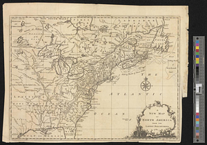
A new map of North America from the latest discoveries 1761
362.
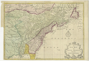
A new map of North America from the latest discoveries 1763
363.
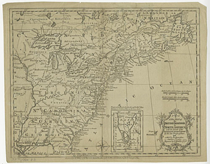
A new map of the British dominions in North America with the limits of the governments annexed thereto by the late treaty of...
364.
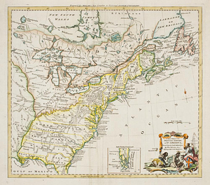
A new map of the British empire in Nth. America, drawn from the latest authorities
365.
A new map of the Cherokee nation with the names of the towns & rivers : they are situated on no. lat. from 34 to 36
366.
New Port
367.
The New York campaign of 1776
368.
The New York campaign of 1776
369.
Newark Bay and its immediate vicinity
370.
Newark, New Jersey
371.
Newport and its environs, ca. 1778
372.
Newport County, ca. 1779
373.
North America
374.
North America
375.
North America east of the Mississippi, ca. 1790
376.
North America with the West India islands
377.
North Atlantic Ocean, ca. 1785
378.
A north view of Fort Franklin on French Creek
379.
Northeastern end of Long Island
380.
Northern New Jersey
‹ Prev
Next ›
1
2
…
15
16
17
18
19
20
21
22
23
…
46
47