Toggle navigation
LMEC Home
Exhibitions
Georeferencing
Tools for Teachers
Collections
My Favorites
Sign Up / Log In
Search
Search the map portal
Map Collection
Map Collection
Map Sets
Search
Search
Search for
Search In
All Fields
Creator
Title
Subject
Place
Search All Digital Collections
Advanced Search
331 Results
My Search
Start Over
More Like
commonwealth:z603vt60h
Remove constraint More Like: commonwealth:z603vt60h
Filter your Search
Place
North and Central America
264
United States
202
Suffolk (county)
64
Boston
62
New York
32
Massachusetts
31
Canada
27
North America
27
more
Place
»
Topic
Boston (Mass.)--History--Revolution, 1775-1783--Maps--Early works to 1800
45
Fortification--Massachusetts--Boston--Maps--Early works to 1800
21
Bunker Hill, Battle of, Boston, Mass., 1775--Maps--Early works to 1800
20
North America--Maps--Early works to 1800
18
Boston Harbor (Mass.)--Maps--Early works to 1800
12
Boston (Mass.)--Maps--Early works to 1800
11
United States--History--Revolution, 1775-1783--Maps--Early works to 1800
11
Vues d'optique
10
more
Topic
»
Date
Date range begin
–
Date range end
Current results range from
1740
to
1799
View distribution
Creator
Faden, William, 1749-1836
36
Jefferys, Thomas, -1771
29
Le Rouge, Georges-Louis
23
Des Barres, Joseph F. W. (Joseph Frederick Wallet), 1722-1824
21
Sayer, Robert, 1725-1794
19
Page, Thomas Hyde, Sir, 1746-1821
12
Korn, Christoph Heinrich, 1726-1783
11
Raspe, Gabriel Nicolaus, 1712-1785
11
more
Creator
»
Format
Maps/Atlases
288
Prints
32
Manuscripts
27
Drawings/Illustrations
9
Books
2
Georeferenced
Yes
15
No
316
Collection
American Revolutionary War-Era Maps
329
Richard H. Brown Revolutionary War Map Collection at Mount Vernon
293
Boston and New England Maps
31
Norman B. Leventhal Map & Education Center Collection
30
Mapping Boston Collection
16
Urban Maps
9
Library of Congress Collection
4
MacLean Collection Map Library
2
more
Collection
»
Available to use
Creative Commons license
312
No known restrictions
17
Search Constraints
Sort by relevance
relevance
title
date (asc)
date (desc)
Number of results to display per page
20 per page
10
per page
20
per page
50
per page
100
per page
View results as:
grid view
map view
Search Results
21.
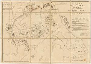
A plan of Boston, and its environs : shewing the true situation of His Majesty's army, and also those of the rebels
22.
A plan of Boston in New England with its environs : including Milton, Dorchester, Roxbury, Brooklin, Cambridge, Medford,...
23.
A plan of the town of Boston with the intrenchments & ca. of His Majesty's forces in 1775 : from the observations of Lieut....
24.
A plan of the town of Boston, with the intrenchments &c. of His Majestys forces in 1775 : from the observations of Lieut. Page...
25.
[The burnt ruins of Charlestown from across the Charles River]
26.
[Troops on parade, the Charles River and Castle Island]
27.
[View of the Charles River]
28.
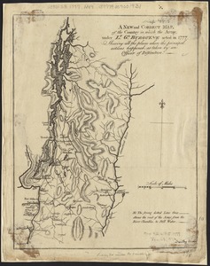
A new and correct map, of the country in which the Army, under Lt. Gl. Burgoyne acted in 1777, shewing all the places where the...
29.
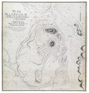
Plan de la position de l'armée sous les ordre de son Excellence le Lieutenant General Bourgoyne à Saratoga etant sur la...
30.
[Battle of Bunker Hill]
31.
A plan of Boston, and its environs : shewing the true situation of His Majesty's army, and also those of the rebels
32.
A Plan of the Battle of Bunker Hill
33.
The seat of war, in New England, by an American volunteer : with the marches of the several corps sent by the colonies, towards...
34.
The seat of war in New England, by an American volunteer : with the marches of the several corps sent by the Colonies towards...
35.
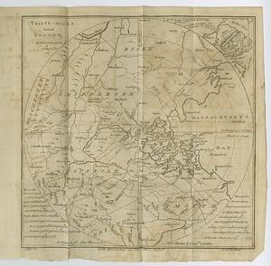
Thirty-miles round Boston
36.
An accurate map of the country round Boston in New England from the best authorities
37.
Boston et ses environs
38.
Boston, its environs and harbour, with the rebels works raised against that town in 1775
39.
Boston, S. West part : No. 25
40.
Boston with its environs
‹ Prev
Next ›
1
2
3
4
5
6
…
16
17


![[The burnt ruins of Charlestown from across the Charles River]](https://bpldcassets.blob.core.windows.net/derivatives/images/commonwealth:dz010v71m/image_thumbnail_300.jpg)
![[Troops on parade, the Charles River and Castle Island]](https://bpldcassets.blob.core.windows.net/derivatives/images/commonwealth:dz010v69k/image_thumbnail_300.jpg)
![[View of the Charles River]](https://bpldcassets.blob.core.windows.net/derivatives/images/commonwealth:dz010v735/image_thumbnail_300.jpg)
![[Battle of Bunker Hill]](https://bpldcassets.blob.core.windows.net/derivatives/images/commonwealth:z603vj11x/image_thumbnail_300.jpg)