Toggle navigation
LMEC Home
Exhibitions
Georeferencing
Tools for Teachers
Collections
My Favorites
Sign Up / Log In
Search
Search the map portal
Map Collection
Map Collection
Map Sets
Search
Search
Search for
Search In
All Fields
Creator
Title
Subject
Place
Search All Digital Collections
Advanced Search
380 Results
My Search
Start Over
More Like
commonwealth:z603vt21t
Remove constraint More Like: commonwealth:z603vt21t
Filter your Search
Place
North and Central America
286
United States
166
North America
88
South America
70
Mesoamerica
63
America
57
New York
31
Suffolk (county)
31
more
Place
»
Topic
America--Maps--Early works to 1800
78
Western Hemisphere--Maps--Early works to 1800
58
North America--Maps--Early works to 1800
23
Boston (Mass.)--History--Revolution, 1775-1783--Maps--Early works to 1800
16
Vues d'optique
10
Gibraltar--History--Siege, 1779-1783--Maps--Early works to 1800
9
New York (N.Y.)--Pictorial works--Early works to 1800
9
United States--History--French and Indian War, 1754-1763--Maps--Early works to 1800
9
more
Topic
»
Date
Date range begin
–
Date range end
Current results range from
1520
to
1802
View distribution
Creator
Faden, William, 1749-1836
33
Jefferys, Thomas, -1771
29
Le Rouge, Georges-Louis
24
Des Barres, Joseph F. W. (Joseph Frederick Wallet), 1722-1824
21
Sayer, Robert, 1725-1794
20
Korn, Christoph Heinrich, 1726-1783
11
Raspe, Gabriel Nicolaus, 1712-1785
11
Simcoe, John Graves, 1752-1806
10
more
Creator
»
Format
Maps/Atlases
337
Prints
32
Manuscripts
23
Drawings/Illustrations
9
Books
2
Georeferenced
Yes
14
No
366
Collection
American Revolutionary War-Era Maps
308
Richard H. Brown Revolutionary War Map Collection at Mount Vernon
293
Norman B. Leventhal Map & Education Center Collection
66
Sidney R. Knafel Map Collection at Phillips Academy
10
MacLean Collection Map Library
6
New York Public Library Collection
5
Boston and New England Maps
4
Mapping Boston Collection
3
more
Collection
»
Available to use
Creative Commons license
301
No known restrictions
63
Search Constraints
Sort by relevance
relevance
title
date (asc)
date (desc)
Number of results to display per page
20 per page
10
per page
20
per page
50
per page
100
per page
View results as:
grid view
map view
Search Results
21.
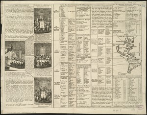
Americae tam septentrionalis quam meridionalis in mappa geographica delineatio
22.
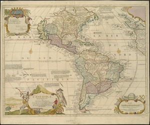
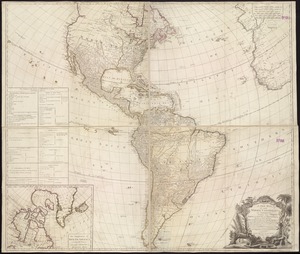
L'Amérique
23.
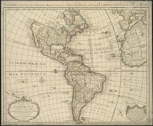
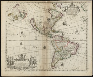
L'Amerique divisée par grand etats
24.
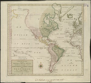
L'Amerique, meridionale, et septentrionale
25.
L'Amérique Septentrionale & Meridionale divisée en ses principales parties, ou sont distingués les vns des autres les estats...
26.
L'Amérique suivant le R.P. Charlevoix Jte, Mr. de La Condamine et plusieurs autres nouvle. observations
27.
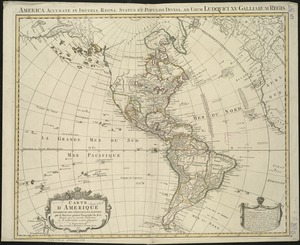
Carte d'Amerique : dressée pour l'usage du roy
28.
Carte d'Amerique : dressée pour l'usage du Roy
29.
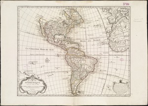
Carte d'Amerique divisées en ses principales parties
30.
Carte du Gouvernement de l'Amerique
31.
Chart of the track of the Dolphin, Tamar, Swallow & Endeavour through the South Seas ; & of the track of M. Bougainville round...
32.
The Earth's Western planisphere
33.
A new general map of America
34.
A new map of America from the latest observations
35.
A new map of the whole continent of America, divided into North and South and West Indies : wherein are exactly described the...
36.
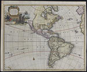
A new mapp of America devided according to the best and latest observations and discoveries wherein are described by thear...
37.
A new, plaine, and exact map of America : described by N.I. Visscher, and don into English, enlarged, and corrected, according...
38.
Nieuwe kaart van America uitgegeven te Amsterdam
39.
Nieuwe kaart van het westelykste deel der weereld, dienende tot aanwyzing van de scheepstogten der Nederlanderen naar Westindie...
40.
Nouvelle carte de l'Amerique : avec tous ses royaumes, etats, iles, ports, bayes et rivieres, dressée suivant les plus...
‹ Prev
Next ›
1
2
3
4
5
6
…
18
19