Toggle navigation
LMEC Home
Exhibitions
Georeferencing
Tools for Teachers
Collections
My Favorites
Sign Up / Log In
Search
Search the map portal
Map Collection
Map Collection
Map Sets
Search
Search
Search for
Search In
All Fields
Creator
Title
Subject
Place
Search All Digital Collections
Advanced Search
335 Results
My Search
Start Over
More Like
commonwealth:z603vr34g
Remove constraint More Like: commonwealth:z603vr34g
Filter your Search
Place
North and Central America
268
United States
187
New York
52
Canada
40
Suffolk (county)
31
Boston
29
North America
29
New England
19
more
Place
»
Topic
New York (State)--Maps--Early works to 1800
26
North America--Maps--Early works to 1800
19
Boston (Mass.)--History--Revolution, 1775-1783--Maps--Early works to 1800
16
New England--Maps--Early works to 1800
16
New Jersey--Maps--Early works to 1800
12
Saint Lawrence River--Maps--Early works to 1800
12
Northeastern States--Maps--Early works to 1800
11
Québec (Province)--Maps--Early works to 1800
10
more
Topic
»
Date
Date range begin
–
Date range end
Current results range from
1636
to
1799
View distribution
Creator
Faden, William, 1749-1836
35
Jefferys, Thomas, -1771
35
Des Barres, Joseph F. W. (Joseph Frederick Wallet), 1722-1824
26
Le Rouge, Georges-Louis
23
Sayer, Robert, 1725-1794
23
Korn, Christoph Heinrich, 1726-1783
11
Raspe, Gabriel Nicolaus, 1712-1785
11
Simcoe, John Graves, 1752-1806
10
more
Creator
»
Format
Maps/Atlases
292
Prints
32
Manuscripts
23
Drawings/Illustrations
9
Books
2
Georeferenced
Yes
14
No
321
Collection
American Revolutionary War-Era Maps
321
Richard H. Brown Revolutionary War Map Collection at Mount Vernon
293
Norman B. Leventhal Map & Education Center Collection
31
Maritime Charts and Atlases
8
New York Public Library Collection
8
Boston and New England Maps
4
Mapping Boston Collection
2
Sidney R. Knafel Map Collection at Phillips Academy
2
more
Collection
»
Available to use
Creative Commons license
304
No known restrictions
28
Search Constraints
Sort by relevance
relevance
title
date (asc)
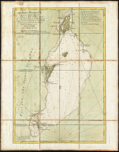
date (desc)
Number of results to display per page
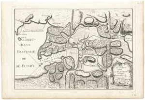
20 per page
10
per page
20
per page
50
per page
100
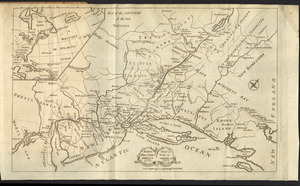
per page
View results as:
grid view
map view
Search Results
141.
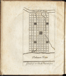
Grundriss der stadt Philadelphia
142.
Grundriss des nördlichen theils der Neujorks Insel : nebst den am 16. Novbr. 1776. eroberten Fort Washington nun das Fort...
143.
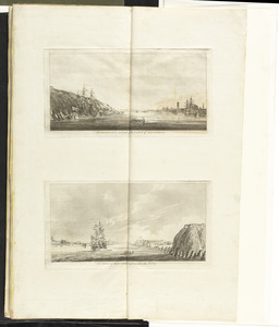
The harbour and part of the town of Havannah : The entrance of Havannah, from within the harbour
144.
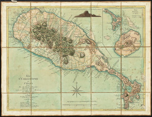
Isle St. Christophe ou St. Kitts
145.
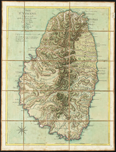
Isle St. Vincent
146.
Les Isles Turques d'après les levées de 1753 par le sloop l'Aigle et l'Emeraude par ordre du Gouverneur de St. Domingue...
147.
L'isthme de l'Acadie, Baye du Beaubassin, en Anglois Shegnekto, environs du Fort Beausejour
148.
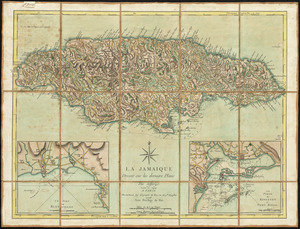
La Jamaique
149.
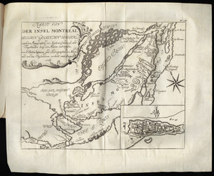
Karte von der Insel Montreal und den gegenden umher, nach den manuscripten der karten, grundrisse und tagebücher beÿ der...
150.
Karte von Neu England, Neu Yorck und Pensilvanien
151.
Krigs theatreni i America, 1777 = : seat of war in America, 1777
152.
LʼAmérique Septentrionale et Méridionale divisée suivant ses différens pays
153.
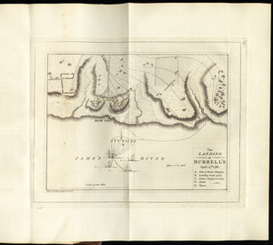
The landing at Burrell's, April 17th. 1781
154.
A large and particular plan of Shegnekto Bay, and the circumjacent country, with the forts and settlements of the French 'till...
155.
[Map of Boston]
156.
[Map of Florida, Carolina, and the Gulf Coast]
157.
Map of Nova Scotia, or Acadia : with the islands of Cape Breton and St. John's, from actual surveys
158.
A map of South Carolina and a part of Georgia : containing the whole sea-coast; all the islands, inlets, rivers, creeks,...
159.
[Map of the Allegheny and Ohio Rivers] ; Franzosische see kusten von Provence zwischen Marseille und Toulon = : Cotes maritimes...
160.
A map of the British and French dominions in North America with the roads, distances, limits, and extent of the settlements,...
‹ Prev
Next ›
1
2
…
4
5
6
7
8
9
10
11
12
…
16
17


![[Map of Boston]](https://bpldcassets.blob.core.windows.net/derivatives/images/commonwealth:z603vw17n/image_thumbnail_300.jpg)
![[Map of Florida, Carolina, and the Gulf Coast]](https://bpldcassets.blob.core.windows.net/derivatives/images/commonwealth:z603vr379/image_thumbnail_300.jpg)

![[Map of the Allegheny and Ohio Rivers] ; Franzosische see kusten von Provence zwischen Marseille und Toulon =](https://bpldcassets.blob.core.windows.net/derivatives/images/commonwealth:z603vr31n/image_thumbnail_300.jpg)
