Toggle navigation
LMEC Home
Exhibitions
Georeferencing
Tools for Teachers
Collections
My Favorites
Sign Up / Log In
Search
Search the map portal
Map Collection
Map Collection
Map Sets
Search
Search
Search for
Search In
All Fields
Creator
Title
Subject
Place
Search All Digital Collections
Advanced Search
167 Results
My Search
Start Over
More Like
commonwealth:z603vq94q
Remove constraint More Like: commonwealth:z603vq94q
Filter your Search
Place
North and Central America
112
United States
112
North America
45
Canada
29
New Jersey
8
Northeastern United States
7
Middle Atlantic
6
Mississippi River
5
more
Place
»
Topic
United States--Maps--Early works to 1800
103
North America--Maps--Early works to 1800
37
Canada--Maps--Early works to 1800
27
Great Britain--Colonies--America--Maps--Early works to 1800
12
New Jersey--Maps--Early works to 1800
7
North America--Maps
7
Northeastern States--Maps--Early works to 1800
7
British--America--Maps--Early works to 1800
5
more
Topic
»
Date
Date range begin
–
Date range end
Current results range from
1707
to
1899
View distribution
Creator
Kitchin, Thomas, 1719-1784
10
Anville, Jean Baptiste Bourguignon d', 1697-1782
7
Faden, William, 1749-1836
7
Jefferys, Thomas, -1771
7
Lodge, John, -1796
6
Gibson, J. (John), active 1750-1792
5
Hinton, John, -1781
5
Robert Sayer and John Bennett (Firm)
5
more
Creator
»
Format
Maps/Atlases
167
Georeferenced
Yes
9
No
158
Collection
American Revolutionary War-Era Maps
157
New York Public Library Collection
78
MacLean Collection Map Library
43
Norman B. Leventhal Map & Education Center Collection
29
Richard H. Brown Revolutionary War Map Collection at Mount Vernon
9
New-York Historical Society Collection
4
Mapping Boston Collection
2
Boston Athenaeum, Cartographic Collection
1
more
Collection
»
Available to use
Creative Commons license
91
No known restrictions
31
Search Constraints
Sort by relevance
relevance
title
date (asc)
date (desc)
Number of results to display per page
20 per page
10
per page
20
per page
50
per page
100
per page
View results as:
grid view
map view
Search Results
61.
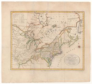
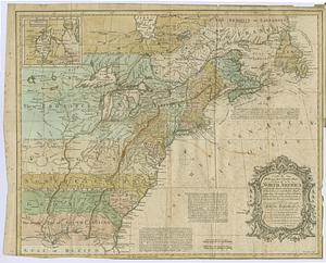
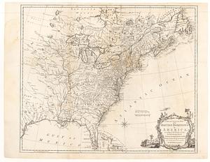
A map of the northern and middle states : comprehending the western territory and the British dominions in North America, from...
62.
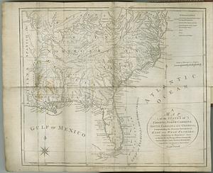
A map of the states of Virginia, North Carolina, South Carolina and Georgia : comprehending the Spanish provinces of east and...
63.
A map of the United States: compiled chiefly from the state maps, and other authentic information
64.
Map of the United States exhibiting the post-roads, the situations, connections & distances of the post-offices, stage roads,...
65.
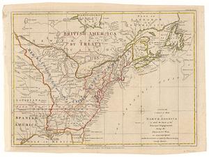
Map of the United States in North America : with the British, French and Spanish dominions adjoining, according to the treaty...
66.
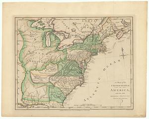
A map of the United States of America, with part of the adjoining provinces from the latest authorities
67.
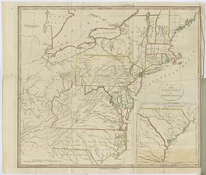
A map of the United States of N. America
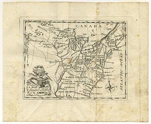
68.
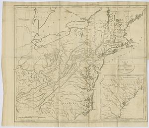
A map of the United States of N. America
69.
A map of the United States of North America drawn from a number of critical researches
70.
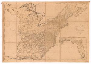
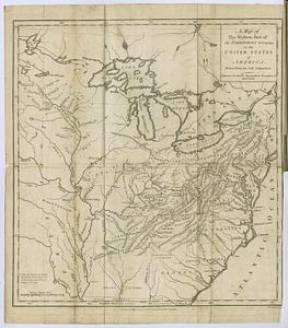
A map of the western part of the territories belonging to the United States of America : drawn from the best authorities
71.
A new and accurate map of North America : (wherein the errors of all preceeding British, French and Dutch maps, respecting the...
72.
A new and accurate map of the British dominions in America, according to the treaty of 1763 : divided into the several...
73.
A new and correct map of North America in which the places of the principal engagements during the present war, are accurately...
74.
A new and correct map of North America, with the West India islands, divided according to the preliminary articles of peace,...
75.
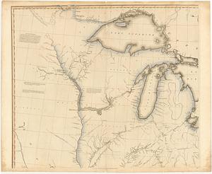
A new map of North America
76.
A new map of the United States of North America with the British dominions on that continent &c
77.
Part of the United States of North America
78.
Part of the United States of North America
79.
Partie de l'Amerique Septentrionale qui comprend le cours de l'Ohio, la N.lle Angleterre, la N.lle York, le New Jersey, la...
80.
Partie de l'Amérique septentrionale, qui comprend le cours de l'Ohio, la Nlle. Angleterre, la Nlle York, le New Jersey, la...
‹ Prev
Next ›
1
2
3
4
5
6
7
8
9