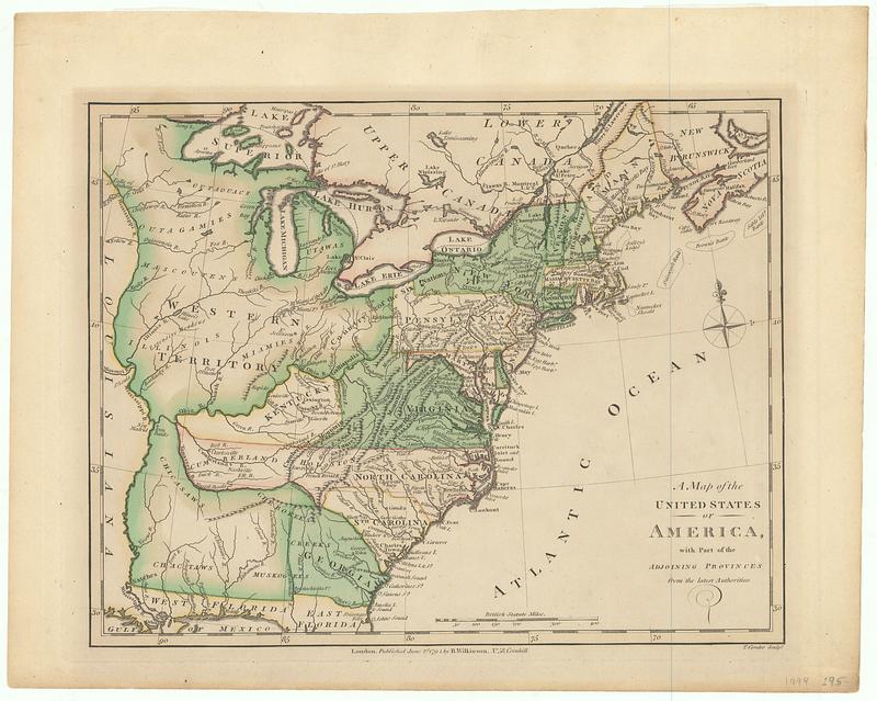
A map of the United States of America, with part of the adjoining provinces from the latest authorities
This map is also available in American Revolutionary Geographies Online (ARGO), a collections portal especially built for material relating to the American Revolutionary War Era. Visit ARGO to learn more about this item and explore the historical geography of North America in the late eighteenth century.
Item Information
- Title:
- A map of the United States of America, with part of the adjoining provinces from the latest authorities
- Contributor:
- Conder, Thomas, 1746 or 1747-1831
- Publisher:
- Wilkinson, Robert, -approximately 1825
- Name on Item:
-
T. Conder sculpt.
- Date:
-
1791
- Format:
-
Maps/Atlases
- Location:
- MacLean Collection Map Library
- Collection (local):
-
MacLean Collection Map Library
- Subjects:
-
United States--Maps--Early works to 1800
- Places:
-
United States
- Extent:
- 1 map ; 229 x 280 mm
- Terms of Use:
-
Public Domain/No known restrictions on use. Contact host institution to download image.
Contact host institution for more information.
- Publisher:
-
London :
R. Wilkinson, no. 58 Cornhill
- Language:
-
English
- Identifier:
-
MC_26655
- Call #:
-
26655


