Toggle navigation
LMEC Home
Exhibitions
Georeferencing
Tools for Teachers
Collections
My Favorites
Sign Up / Log In
Search
Search the map portal
Map Collection
Map Collection
Map Sets
Search
Search
Search for
Search In
All Fields
Creator
Title
Subject
Place
Search All Digital Collections
Advanced Search
143 Results
My Search
Start Over
More Like
commonwealth:z603vp90d
Remove constraint More Like: commonwealth:z603vp90d
Filter your Search
Place
United States
108
North and Central America
103
North America
37
Canada
30
Mississippi River
8
Louisiana
6
Northeastern United States
5
Ohio River
4
more
Place
»
Topic
United States--Maps--Early works to 1800
103
North America--Maps--Early works to 1800
33
Canada--Maps--Early works to 1800
28
Great Britain--Colonies--America--Maps--Early works to 1800
22
Mississippi River Valley--Maps--Early works to 1800
8
France--Colonies--America--Maps--Early works to 1800
7
Northeastern States--Maps--Early works to 1800
6
Louisiana--Maps--Early works to 1800
5
more
Topic
»
Date
Date range begin
–
Date range end
Current results range from
1707
to
1830
View distribution
Creator
Faden, William, 1749-1836
6
Robert Sayer and John Bennett (Firm)
6
Anville, Jean Baptiste Bourguignon d', 1697-1782
5
Hinton, John, -1781
5
Kitchin, Thomas, 1719-1784
5
Bellin, Jacques Nicolas, 1703-1772
4
Conder, Thomas, 1746 or 1747-1831
4
Evans, Lewis, 1700?-1756
4
more
Creator
»
Format
Maps/Atlases
143
Georeferenced
Yes
6
No
137
Collection
American Revolutionary War-Era Maps
131
MacLean Collection Map Library
47
New York Public Library Collection
40
Norman B. Leventhal Map & Education Center Collection
36
Richard H. Brown Revolutionary War Map Collection at Mount Vernon
12
New-York Historical Society Collection
4
Mapping Boston Collection
2
Boston Athenaeum, Cartographic Collection
1
more
Collection
»
Available to use
Creative Commons license
56
No known restrictions
38
Search Constraints
Sort by relevance
relevance
title
date (asc)
date (desc)
Number of results to display per page
20 per page
10
per page
20
per page
50
per page
100
per page
View results as:
grid view
map view
Search Results
61.
Carte minéralogique, où l'on voit la nature des terreins du Canada et de la Louisiane
62.
Carte nouvelle de l'Amerique angloise contenant tout ce que les anglois possedent sur le continent de l'Amerique Septentrionale...
63.
Carte réduite du nord des Etat-Unis avec l'intérieur du pays : pour servir à l'intelligence de cette histoire ; copieé par...
64.
Charte über die XIII Vereinigte Staaten von Nord-America
65.
Etats-Unis de l'Amérique Septentrionale avec les Isles Royale, de Terre Neuve, de S.t Jean, l'Acadie, &c.
66.
A general map of the middle British colonies, in America : viz Virginia, Màriland, Dèlaware, Pensilvania, New-Jersey, New-York,...
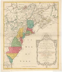
67.
A general map of the middle British colonies, in America : viz Virginia, Màriland, Dèlaware, Pensilvania, New-Jersey,...
68.
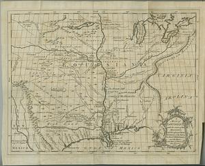
Karte von Luisiana, dem laufe des Mississipi und den benachbaerten laendern
69.
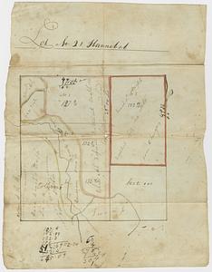
Lot no. 21 Hannibal
70.
Map for the interior travels through America : delineating the march of the army
71.
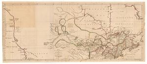
A map of Canada and the north part of Louisiana with the adjacent countrys
72.
A map of Canada and the north part of Louisiana with the adjacent countrys
73.
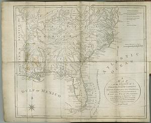
A map of Louisiana with the course of the Missisipi, and the adjacent rivers, the nations of the natives, the French...
74.
A map of the American Indian nations, adjoining to the Missisippi, west & east Florida, Georgia, S. & N. Carolina, Virginia, &c.
75.
A map of the British and French dominions in North America : with the roads, distances, limits, and extent of the settlements,...
76.
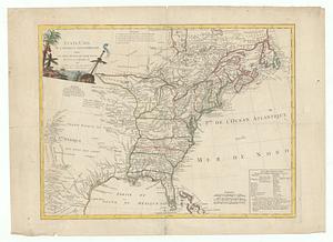
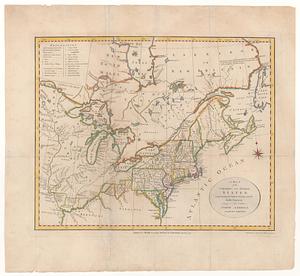
A map of the northern and middle states : comprehending the western territory & the British dominions in North America : from...
77.
A map of the northern and middle states : comprehending the western territory and the British dominions in North America, from...
78.
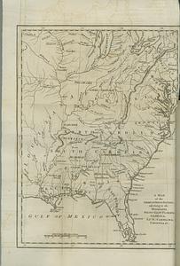
A map of the states of Virginia, North Carolina, South Carolina and Georgia : comprehending the Spanish provinces of east and...
79.
A map of the United States: compiled chiefly from the state maps, and other authentic information
80.
Map of the United States exhibiting the post-roads, the situations, connections & distances of the post-offices, stage roads,...
‹ Prev
Next ›
1
2
3
4
5
6
7
8