Toggle navigation
LMEC Home
Exhibitions
Georeferencing
Tools for Teachers
Collections
My Favorites
Sign Up / Log In
Search
Search the map portal
Map Collection
Map Collection
Map Sets
Search
Search
Search for
Search In
All Fields
Creator
Title
Subject
Place
Search All Digital Collections
Advanced Search
61 Results
My Search
Start Over
More Like
commonwealth:z603vn906
Remove constraint More Like: commonwealth:z603vn906
Filter your Search
Place
South America
51
Mesoamerica
50
North America
50
North and Central America
47
America
46
Americas
4
World
2
Topic
Western Hemisphere--Maps--Early works to 1800
58
America--Maps--Early works to 1800
52
America--Discovery and exploration--Maps--Early works to 1800
2
Central America--Maps--Early works to 1800
2
North America--Maps--Early works to 1800
2
South America--Maps--Early works to 1800
2
World maps--Early works to 1800
2
1739
1
more
Topic
»
Date
Date range begin
–
Date range end
Current results range from
1542
to
1794
View distribution
Creator
Danckerts, Justus, 1635-1701
3
L'Isle, Guillaume de, 1675-1726
3
Ortelius, Abraham, 1527-1598
3
Aa, Pieter van der, 1659-1733
2
Allard, Huych, 1625-1691
2
Bry, Theodor de, 1528-1598
2
Crépy (Firm)
2
La Condamine, Charles-Marie de, 1701-1774
2
more
Creator
»
Format
Maps/Atlases
61
Georeferenced
Yes
2
No
59
Collection
Norman B. Leventhal Map & Education Center Collection
51
American Revolutionary War-Era Maps
8
Sidney R. Knafel Map Collection at Phillips Academy
6
New York Public Library Collection
3
Mapping Boston Collection
2
Richard H. Brown Revolutionary War Map Collection at Mount Vernon
1
Available to use
No known restrictions
49
Creative Commons license
6
Search Constraints
Sort by relevance
relevance
title
date (asc)
date (desc)
Number of results to display per page
20 per page
10
per page
20
per page
50
per page
100
per page
View results as:
grid view
map view
Search Results
41.
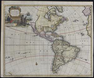
A new map of America from the latest observations
42.
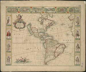
A new map of the whole continent of America, divided into North and South and West Indies : wherein are exactly described the...
43.
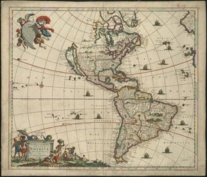
A new mapp of America devided according to the best and latest observations and discoveries wherein are described by thear...
44.
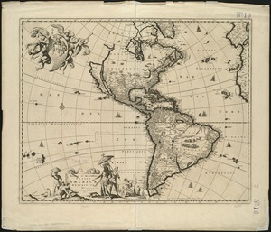
A new, plaine, and exact map of America : described by N.I. Visscher, and don into English, enlarged, and corrected, according...
45.
A new projection of the Western Hemisphere of the Earth on a plane : shewing the proportions of its several parts nearly as on...
46.
Nieuwe kaart van America uitgegeven te Amsterdam
47.
Nieuwe kaart van het westelykste deel der weereld, dienende tot aanwyzing van de scheepstogten der Nederlanderen naar Westindie...
48.
Nouvelle carte de l'Amerique : avec tous ses royaumes, etats, iles, ports, bayes et rivieres, dressée suivant les plus...
49.
Nova totivs Americae descriptio
50.
Novae insulae XVII, nova tabula
51.
Novissima et accuratissima totius Americae descriptio
52.
Novissima et accuratissima totius Americae descriptio
53.
Novus orbis sive America Meridionalis et Septentrionalis, per sua regna, provincias et insulas iuxta observationes et...
54.
Planisfero del mondo nuovo
55.
Quarte partie du monde
56.
Recentissima novi orbis sive Americae septentrionalis et meridionalis tabula
57.
Recentissima novi orbis sive Americae septentrionalis et meridionalis tabula
58.
Totius Americae descriptio nova
59.
L'Amerique : divisée en ses principaux etats, assujetie aux observations astronomiqes
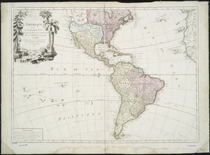
60.
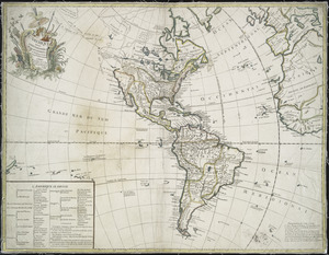
L'Amerique : suivant le R.P. Charlevoix Jte., Mr. de la Condamine, et plusieurs autres nouvle. observations
‹ Prev
Next ›
1
2
3
4