Toggle navigation
LMEC Home
Exhibitions
Georeferencing
Tools for Teachers
Collections
My Favorites
Sign Up / Log In
Search
Search the map portal
Map Collection
Map Collection
Map Sets
Search
Search
Search for
Search In
All Fields
Creator
Title
Subject
Place
Search All Digital Collections
Advanced Search
300 Results
My Search
Start Over
More Like
commonwealth:z603vj614
Remove constraint More Like: commonwealth:z603vj614
Date facet yearly ssim
1883
to
1884
Remove constraint Date facet yearly ssim: <span class='from'>1883</span> to <span class='to'>1884</span>
Filter your Search
Place
North and Central America
237
United States
146
Canada
75
Suffolk (county)
61
Boston
60
Nova Scotia
24
Boston Harbor
16
Minas Basin
9
more
Place
»
Topic
Manuscript maps--Early works to 1800
138
Coasts--Nova Scotia--Maps
62
Fortification--Massachusetts--Boston--Maps--Early works to 1800
30
Boston (Mass.)--History--Revolution, 1775-1783--Maps--Early works to 1800
26
Boston (Mass.)--Buildings, structures, etc--Maps, Manuscript--Early works to 1800
17
Boston (Mass.)--History--Siege, 1775-1776--Maps--Early works to 1800
11
Fortification--Massachusetts--Boston--Maps, Manuscript--Early works to 1800
11
Coasts--Nova Scotia--Pictorial works
10
more
Topic
»
Date
Date range begin
–
Date range end
Current results range from
1700
to
1899
View distribution
Creator
Des Barres, Joseph F. W. (Joseph Frederick Wallet), 1722-1824
95
Dumont de Montigny
14
Adlum, John, 1759-1836
9
Bingham, William, 1752-1804
9
Page, Thomas Hyde, Sir, 1746-1821
9
Aitken, Robert, 1735-1802
7
Montrésor, John, 1736-1799
7
Beaurain, Jean de, 1696-1771
5
more
Creator
»
Format
Maps/Atlases
297
Manuscripts
172
Drawings/Illustrations
2
Prints
1
Georeferenced
Yes
9
No
291
Collection
American Revolutionary War-Era Maps
294
Library of Congress Collection
228
Newberry Library Collection
39
Boston and New England Maps
20
Norman B. Leventhal Map Center Collection
20
Maritime Charts and Atlases
18
Urban Maps
14
Mapping Boston Collection
10
more
Collection
»
Available to use
Creative Commons license
250
No known restrictions
11
Search Constraints
Sort by date (asc)
relevance
title
date (asc)
date (desc)
Number of results to display per page
20 per page
10
per page
20
per page
50
per page
100
per page
View results as:
grid view
map view
Search Results
21.
Particular draughts and plans of some of the principal towns and harbours belonging to the English, French, and Spaniards, in...
22.
Plan de la Nlle. Orleans, ville capitalle de la Louissianne
23.
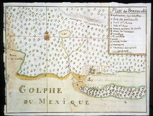
Plan de Pensacolle
24.
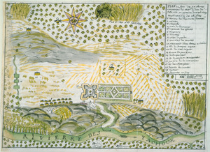
Plan du Fort des Yachoux, concession de Mgr. le duc de Belle Isle et associez, detruit 1729
25.
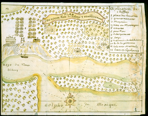
Plan du vieux Fort du Billoxi, 2 etablissement
26.
Amerique Septentrionale : Acadie ou Nouvelle Ecosse aux anglois : Annapolis Royal
27.
Tybee Island
28.
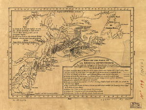
Mapa de una parte de la America Septentrional
29.
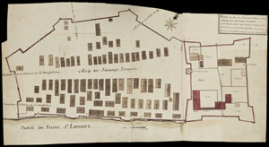
Plan du Fort du Sault de St. Louis et du village des sauvages Iroquois
30.
Fort Edward to Crown Point
31.
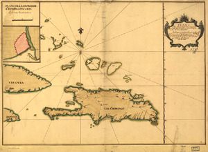
Plano de la Ysla de Santo Domingo, parte de las Cuba, Jamaica y otras contiguas a ellas, del seno mexicano
32.
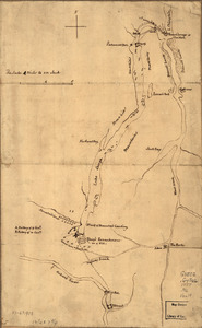
S[i]r: This is minuts of the fort at Crown Point and of the redouts built round it; which I took on the mountain to the west of...
33.
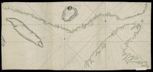
[Continuation of Plan du detroit de Belle Isle et du Golphe St. Laurent]
34.
A draught of Lake George, and part of Hudson's River taken September 1756
35.
Plan du detroit de Belle Isle et du Golphe St. Laurent pour la coste du nord
36.
Plan of the attack on Fort William Henry and Ticonderoga : showing the road from Fort Edward, Montcalm's camp and wharf of...
37.
Grundriss von der Stadt Boston und ihren Gegenden
38.
Plano de la Bahía de Fort Real cituado a la parte del oeste de la Ysla Martinica
39.
Ticonderoga as it was in 1759
40.
Pansacola o Santta María de Galbe, puerto y presidio del Ry. de España situado en la costa del nortte del Seno Mexicano, los...
‹ Prev
Next ›
1
2
3
4
5
6
…
14
15


![S[i]r: This is minuts of the fort at Crown Point and of the redouts built round it; which I took on the mountain to the west of Crown Point abt. a miles distance](https://bpldcassets.blob.core.windows.net/derivatives/images/commonwealth:q524nd85w/image_thumbnail_300.jpg)
![[Continuation of Plan du detroit de Belle Isle et du Golphe St. Laurent]](https://bpldcassets.blob.core.windows.net/derivatives/images/commonwealth:z603vm96n/image_thumbnail_300.jpg)