Toggle navigation
LMEC Home
Exhibitions
Georeferencing
Tools for Teachers
Collections
My Favorites
Sign Up / Log In
Search
Search the map portal
Map Collection
Map Collection
Map Sets
Search
Search
Search for
Search In
All Fields
Creator
Title
Subject
Place
Search All Digital Collections
Advanced Search
1097 Results
My Search
Start Over
More Like
commonwealth:x633hh496
Remove constraint More Like: commonwealth:x633hh496
Filter your Search
Place
North and Central America
1,093
United States
1,088
Suffolk (county)
1,032
Boston
1,029
Massachusetts
769
Boston Harbor
68
Roxbury
53
South End
45
more
Place
»
Topic
Boston (Mass.)--Maps
752
City planning--Massachusetts--Boston--Maps
366
Urban renewal--Massachusetts--Boston--Maps
234
Real property--Massachusetts--Boston--Maps
131
Land use--Massachusetts--Boston--Maps
100
Buildings--Massachusetts--Boston--Maps
86
Landowners--Massachusetts--Boston--Maps
77
Boston Harbor (Mass.)--Maps
67
more
Topic
»
Date
Date range begin
–
Date range end
Current results range from
1708
to
2023
View distribution
Creator
Boston Redevelopment Authority
355
Geo. H. Walker & Co
28
Boynton, George W., d. 1884
21
Sampson, Davenport & Co
21
Sampson, Murdock & Co
20
Bromley, George Washington
18
Bromley, Walter Scott
17
Lufkin, Richard F. (Richard Friend)
17
more
Creator
»
Format
Maps/Atlases
1,097
Manuscripts
9
Posters
1
Prints
1
Georeferenced
Yes
102
No
995
Collection
Boston and New England Maps
909
Urban Maps
769
Norman B. Leventhal Map & Education Center Collection
670
Boston Redevelopment Authority Collection
403
American Revolutionary War-Era Maps
31
Mapping Boston Collection
27
William L. Clements Library Collection
15
Massachusetts Real Estate Atlases
12
more
Collection
»
Available to use
No known restrictions
1,016
Creative Commons license
42
Search Constraints
Sort by relevance
relevance
title
date (asc)
date (desc)
Number of results to display per page
20 per page
10
per page
20
per page
50
per page
100
per page
View results as:
grid view
map view
Search Results
41.
A plan of the town and chart of the harbour of Boston exhibiting a view of the islands castle forts and entrances into the said...
42.
A plan of the town and harbour of Boston and the country adjacent with the road from Boston to Concord shewing the place of the...
43.
Plano de la bahia y puerto de Boston
44.
The town & harbour of Boston &c.
45.
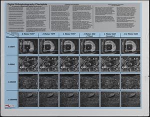
Digital orthography checkplots : a comparison of digital imagery resolution and file format
46.
Winthrop/Boston Massachusetts : [coastal high hazard area base map]
47.
Long Wharf phase II illustrative plan
48.
Boston Harbor : challenges and opportunities for the 1980's
49.
Plan of Hoosac Tunnel Dock and Elevator Company's docks and land in Charlestown, Mass.
50.
The Harbor Park system
51.
Plan of Mystic River showing the Harbor Commissioners lines : Dec. 1854
52.
Plan of Neponset River and part of Dorchester Bay showing the harbor lines proposed by the Commissioners 1854
53.
Plan of the proposed docks at South Boston
54.
Various plans and draughts of cities, towns, harbours &c
55.
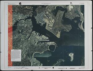
Boston Harbor
56.
Boston Harbor, 1778
57.
Boston Harbor Mass : Charles River from Brookline Street bridge to Market Street bridge
58.
Boston Harbor, Mass : map of Charles River from Brookline Street bridge to its mouth
59.
Boston Harbor, Massachusetts
60.
Boston Harbor, Massachusetts
‹ Prev
Next ›
1
2
3
4
5
6
7
…
54
55