Toggle navigation
LMEC Home
Exhibitions
Georeferencing
Tools for Teachers
Collections
My Favorites
Sign Up / Log In
Search
Search the map portal
Map Collection
Map Collection
Map Sets
Search
Search
Search for
Search In
All Fields
Creator
Title
Subject
Place
Search All Digital Collections
Advanced Search
8727 Results
My Search
Start Over
More Like
commonwealth:x633fb24z
Remove constraint More Like: commonwealth:x633fb24z
Filter your Search
Place
North and Central America
5,926
United States
4,844
Massachusetts
2,079
Europe
1,397
Suffolk (county)
1,046
Boston
1,019
Canada
449
Asia
439
more
Place
»
Topic
Boston (Mass.)--Maps
586
United States--Maps
282
Real property--Massachusetts--Boston--Maps
175
Massachusetts--Maps
162
Landowners--Massachusetts--Boston--Maps
133
North America--Maps--Early works to 1800
103
New England--Maps
102
Europe--Maps
80
more
Topic
»
Date
Date range begin
–
Date range end
Current results range from
1482
to
2023
View distribution
Creator
United States. Hydrographic Office
595
O.H. Bailey & Co
148
Des Barres, Joseph F. W. (Joseph Frederick Wallet), 1722-1824
123
United States. Post Office Dept
120
Ptolemy, 2nd cent
100
Walling, Henry Francis, 1825-1888
94
Geological Survey (U.S.)
86
Jefferys, Thomas, -1771
85
more
Creator
»
Format
Maps/Atlases
8,667
Manuscripts
215
Prints
56
Books
36
Objects/Artifacts
10
Drawings/Illustrations
8
Posters
5
Georeferenced
Yes
869
No
7,858
Collection
Norman B. Leventhal Map & Education Center Collection
8,714
Boston and New England Maps
2,233
Urban Maps
2,023
Maritime Charts and Atlases
1,083
American Revolutionary War-Era Maps
616
Boston Redevelopment Authority Collection
87
Mapping Boston Collection
19
Sidney R. Knafel Map Collection at Phillips Academy
13
Available to use
No known restrictions
8,553
Creative Commons license
66
Search Constraints
Sort by relevance
relevance
title
date (asc)
date (desc)
Number of results to display per page
20 per page
10
per page
20
per page
50
per page
100
per page
View results as:
grid view
map view
Search Results
5181.
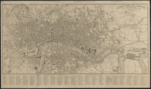
A new map of London, and the adjacent villages including the new streets and public buildings : corrected to 1836
5182.
A new map of Maine
5183.
New map of Massachusetts
5184.
New map of Massachusetts : compiled from the latest and best authorities and corrected by permission from the survey ordered by...
5185.
New map of Massachusetts compiled from the latest and best authorities
5186.
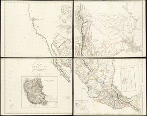
A new map of Mexico and adjacent provinces compiled from original documents
5187.
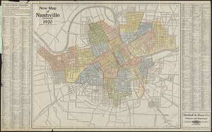
New map of Nashville, Tennessee
5188.
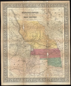
A new map of Nebraska, Kansas, New Mexico, and Indian Territories
5189.
New map of New York City : from the latest authentic surveys, showing all ferries, and all steamship docks both foreign and...
5190.
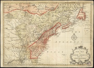
A new map of North America : with the British, French, Spanish, Dutch & Danish dominions on that great continent, and the West...
5191.
A new map of North America
5192.
A new map of North America from the latest discoveries
5193.
A new map of North America from the latest discoveries
5194.
A new map of North America shewing its principal divisions, chief cities, townes, rivers, mountains &c
5195.
A New map of North America with the West India Islands : divided according to the preliminary articles of peace, signed at...
5196.
A new map of Nova Scotia, and Cape Britain : with the adjacent parts of New England and Canada, composed from a great number of...
5197.
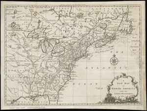
A new map of part of the United States of North America, containing those of New York, Vermont, New Hampshire, Massachusets...
5198.
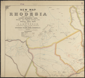
New map of Rhodesia : compiled from the latest authentic data, private and official surveys, etc. with special inset maps
5199.
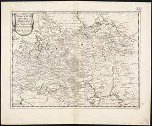
A new map of Russia or Moscovie divided into its Kingdoms, Dukedoms, Principalities, Provinces, &c
5200.
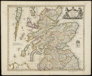
A new map of Scotland with the roads
‹ Prev
Next ›
1
2
…
256
257
258
259
260
261
262
263
264
…
436
437


![A new map of part of the United States of North America, containing those of New York, Vermont, New Hampshire, Massachusets [sic], Connecticut, Rhode Island, Pennsylvania, New Jersey, Delaware, Maryland and Virginia](https://bpldcassets.blob.core.windows.net/derivatives/images/commonwealth:6t053p06v/image_thumbnail_300.jpg)