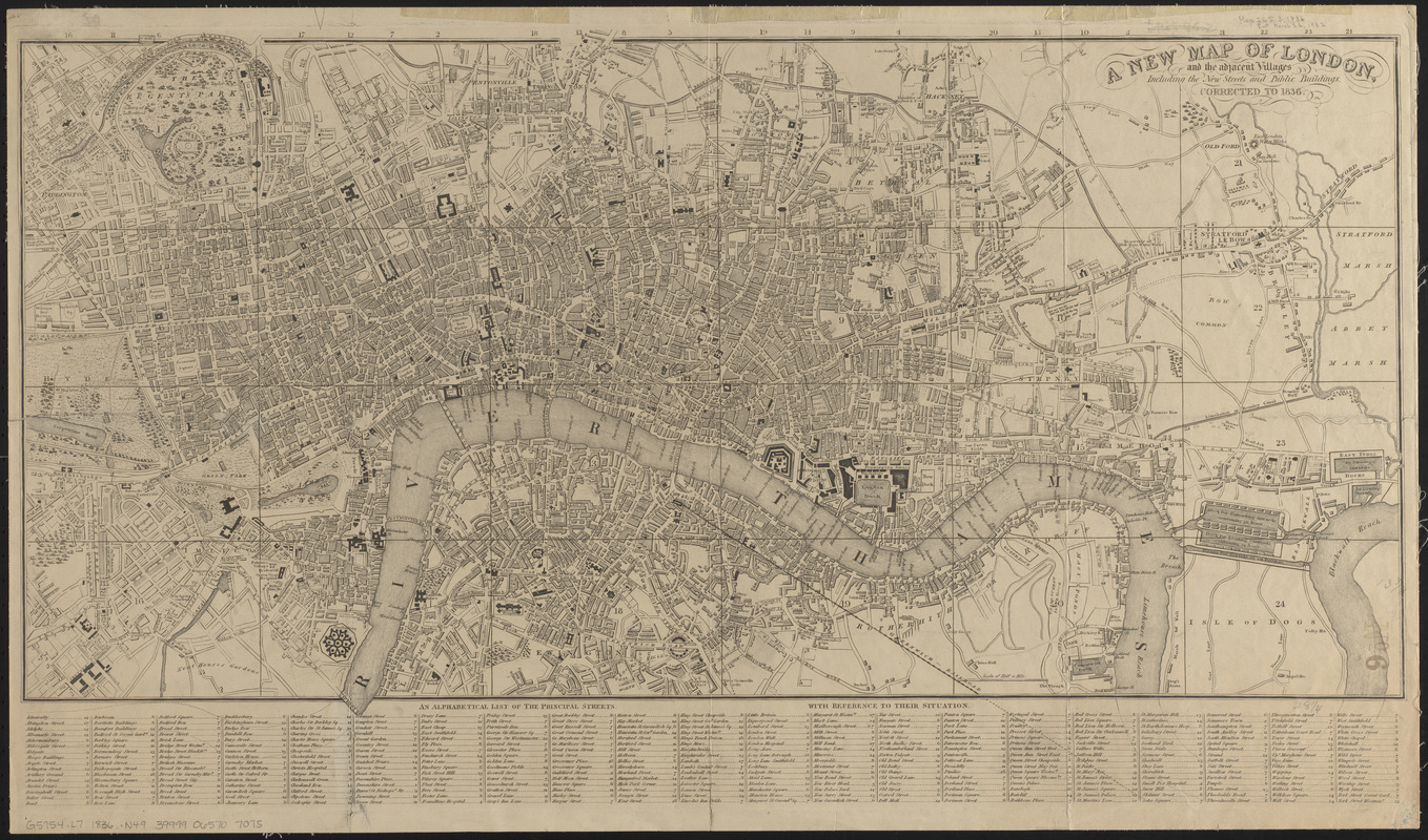
A new map of London, and the adjacent villages including the new streets and public buildings : corrected to 1836
Item Information
- Title:
- A new map of London, and the adjacent villages including the new streets and public buildings : corrected to 1836
- Date:
-
1832
- Format:
-
Maps/Atlases
- Location:
-
Boston Public Library
Norman B. Leventhal Map & Education Center - Collection (local):
-
Norman B. Leventhal Map & Education Center Collection
- Subjects:
-
London (England)--Maps
- Places:
-
EnglandLondon
- Extent:
- 1 map ; 36 x 72 cm, on sheet 44 x 74 cm
- Terms of Use:
-
No known copyright restrictions.
No known restrictions on use.
- Publisher:
-
[Place of publication not identified] :
[publisher not identified]
- Scale:
-
Scale approximately 1:17,000
- Language:
-
English
- Notes:
-
Includes reference to streets below map.
- Identifier:
-
06_01_014909
- Call #:
-
G5754.L7 1836 .N49
- Barcode:
-
39999065707075


