Toggle navigation
LMEC Home
Exhibitions
Georeferencing
Tools for Teachers
Collections
My Favorites
Sign Up / Log In
Search
Search the map portal
Map Collection
Map Collection
Map Sets
Search
Search
Search for
Search In
All Fields
Creator
Title
Subject
Place
Search All Digital Collections
Advanced Search
8582 Results
My Search
Start Over
More Like
commonwealth:x633f9294
Remove constraint More Like: commonwealth:x633f9294
Filter your Search
Place
North and Central America
5,845
United States
4,769
Massachusetts
2,052
Europe
1,360
Suffolk (county)
1,034
Boston
1,007
Canada
448
Asia
423
more
Place
»
Topic
Boston (Mass.)--Maps
577
United States--Maps
273
Real property--Massachusetts--Boston--Maps
174
Massachusetts--Maps
160
Landowners--Massachusetts--Boston--Maps
132
North America--Maps--Early works to 1800
103
New England--Maps
99
Europe--Maps
79
more
Topic
»
Date
Date range begin
–
Date range end
Current results range from
1482
to
2023
View distribution
Creator
United States. Hydrographic Office
594
O.H. Bailey & Co
148
Des Barres, Joseph F. W. (Joseph Frederick Wallet), 1722-1824
123
United States. Post Office Dept
120
Ptolemy, 2nd cent
100
Walling, Henry Francis, 1825-1888
94
Geological Survey (U.S.)
86
Jefferys, Thomas, -1771
85
more
Creator
»
Format
Maps/Atlases
8,523
Manuscripts
215
Prints
56
Books
36
Objects/Artifacts
10
Drawings/Illustrations
8
Posters
4
Georeferenced
Yes
869
No
7,713
Collection
Norman B. Leventhal Map & Education Center Collection
8,569
Boston and New England Maps
2,204
Urban Maps
1,936
Maritime Charts and Atlases
1,081
American Revolutionary War-Era Maps
616
Boston Redevelopment Authority Collection
87
Mapping Boston Collection
19
Sidney R. Knafel Map Collection at Phillips Academy
13
Available to use
No known restrictions
8,409
Creative Commons license
65
Search Constraints
Sort by relevance
relevance
title
date (asc)
date (desc)
Number of results to display per page
20 per page
10
per page
20
per page
50
per page
100
per page
View results as:
grid view
map view
Search Results
7061.
The roads of ye south part of Great Britain, called England and Wales : Containing all ye cities, market towns, post towns,...
7062.
Robinson's atlas of Norfolk County, Massachusetts : compiled from official records, private plans & actual surveys
7063.
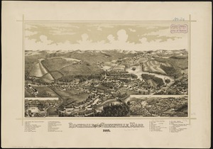
Rochdale and Greenville, Mass : 1887
7064.
Rochester, N.H : Gonic and East-Rochester, 1884
7065.
Rock Island-Frisco lines and Chicago & Eastern Illinois R.R : traverse the richest and most prosperous commonwealths in the Union
7066.
Rockland
7067.
Rock's illustrated map of London
7068.
Roma, la capitale degli Stati Pontifici, fondata da Romolo e Remo verso vanno 754 prima di Cristo, e situato sul 41°53'54" di...
7069.
Roma, suburbio e dintorni
7070.
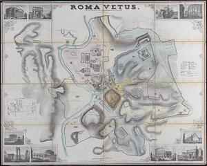
Roma vetus
7071.
Romagna olim Flaminia
7072.
Romania
7073.
Ropewalk bldg. Charlestown Navy Yard
7074.
Rose F. Kennedy Garden
7075.
Rose garden in Fens-Back Bay
7076.
Rose Kennedy Garden : contract documents August 1986 : prepared for City of Boston ; Parks & Recreations Department ; Boston...
7077.
A rough and inaccurate sketch of the streets of Boston as they are supposed to have been first laid out & the owners of the...
7078.
Roumania
7079.
Route and pictorial map of Maine
7080.
Route chart showing routes to and from northwestern Europe
‹ Prev
Next ›
1
2
…
350
351
352
353
354
355
356
357
358
…
429
430