Toggle navigation
LMEC Home
Exhibitions
Georeferencing
Tools for Teachers
Collections
My Favorites
Sign Up / Log In
Search
Search the map portal
Map Collection
Map Collection
Map Sets
Search
Search
Search for
Search In
All Fields
Creator
Title
Subject
Place
Search All Digital Collections
Advanced Search
8859 Results
My Search
Start Over
More Like
commonwealth:x633f915s
Remove constraint More Like: commonwealth:x633f915s
Filter your Search
Place
North and Central America
6,011
United States
4,859
Massachusetts
2,079
Europe
1,396
Suffolk (county)
1,046
Boston
1,019
Canada
454
Asia
442
more
Place
»
Topic
Boston (Mass.)--Maps
586
United States--Maps
282
North America--Maps--Early works to 1800
240
Real property--Massachusetts--Boston--Maps
175
Massachusetts--Maps
162
Landowners--Massachusetts--Boston--Maps
133
New England--Maps
102
Europe--Maps
79
more
Topic
»
Date
Date range begin
–
Date range end
Current results range from
1482
to
2023
View distribution
Creator
United States. Hydrographic Office
595
O.H. Bailey & Co
148
Des Barres, Joseph F. W. (Joseph Frederick Wallet), 1722-1824
123
United States. Post Office Dept
120
Ptolemy, 2nd cent
100
Jefferys, Thomas, -1771
94
Walling, Henry Francis, 1825-1888
94
Sayer, Robert, 1725-1794
89
more
Creator
»
Format
Maps/Atlases
8,799
Manuscripts
217
Prints
56
Books
36
Objects/Artifacts
10
Drawings/Illustrations
8
Posters
5
Georeferenced
Yes
872
No
7,987
Collection
Norman B. Leventhal Map & Education Center Collection
8,707
Boston and New England Maps
2,234
Urban Maps
2,023
Maritime Charts and Atlases
1,083
American Revolutionary War-Era Maps
754
Boston Redevelopment Authority Collection
87
MacLean Collection Map Library
67
New York Public Library Collection
36
more
Collection
»
Available to use
No known restrictions
8,556
Creative Commons license
121
Search Constraints
Sort by relevance
relevance
title
date (asc)
date (desc)
Number of results to display per page
20 per page
10
per page
20
per page
50
per page
100
per page
View results as:
grid view
map view
Search Results
7021.
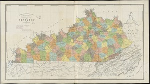
Preliminary map of Kentucky
7022.
Preliminary map of Kentucky
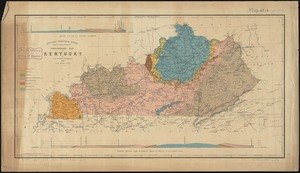
7023.
Preliminary map of south east Kentucky
7024.
Preliminary plan for the extension of Commonwealth Avenue along Beacon Street Brookline : showing connection with Chestnut Hill...
7025.
Preliminary plan for widening Beacon Street from the Back Bay district of Boston to the public pleasure ground at Chestnut Hill...
7026.
Preliminary plan for widening Chestnut Hill Avenue
7027.
Preliminary plan for Wood Island Park, East Boston
7028.
Preliminary post route map of the states of Kansas and Nebraska with adjacent parts of Missouri, Iowa, Dakota, Colorado, Texas,...
7029.
Preliminary sketch showing the positions of Davis's Shoal and other dangers recently discovered by the Coast Survey and the...
7030.
Preliminary study of a plan for a Pleasure Bay between Dorchester Point and Castle Island
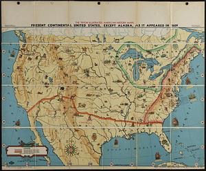
7031.
Present continental United States, except Alaska, as it appeared in 1609
7032.
Presidential and other elections, 1800
7033.
Presidential and other elections, 1804
7034.
Presidential and other elections, 1808
7035.
Presidential and other elections, 1812
7036.
Presidential and other elections, 1816
7037.
Presidential election 1820
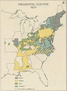
7038.
Presidential election 1824
7039.
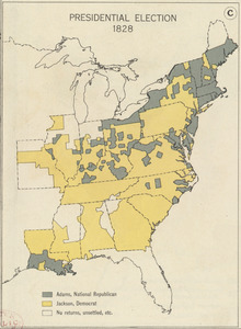
Presidential election 1828
7040.
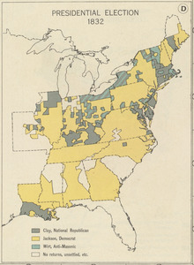
Presidential election 1832
‹ Prev
Next ›
1
2
…
348
349
350
351
352
353
354
355
356
…
442
443