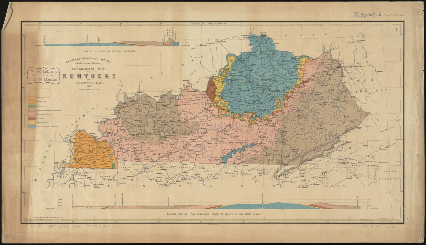
Preliminary map of Kentucky
Item Information
- Title:
- Preliminary map of Kentucky
- Creator:
- Hoeing, J. B. (Joseph Bernard), 1855-
- Name on Item:
-
by J.B. Hoeing.
- Date:
-
1887
- Format:
-
Maps/Atlases
- Location:
-
Boston Public Library
Norman B. Leventhal Map & Education Center - Collection (local):
-
Norman B. Leventhal Map & Education Center Collection
- Subjects:
-
Geology--Kentucky--Maps
Kentucky--Maps
- Places:
-
Kentucky
- Extent:
- 1 map : col. ; 33 x 64 cm.
- Terms of Use:
-
No known copyright restrictions.
No known restrictions on use.
- Publisher:
-
[Frankfort, Ky.?] :
The Survey
- Scale:
-
Scale [1:1,267,200]. 20 miles - 1 inch
- Language:
-
English
- Notes:
-
Shows geological periods.
Relief shown by hachures.
Prime meridian: Washington.
Includes 2 cross sections, and key.
- Identifier:
-
06_01_011030
- Call #:
-
G3951.C57 1887 .H64
- Barcode:
-
39999065680207


