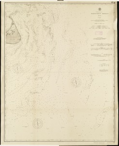
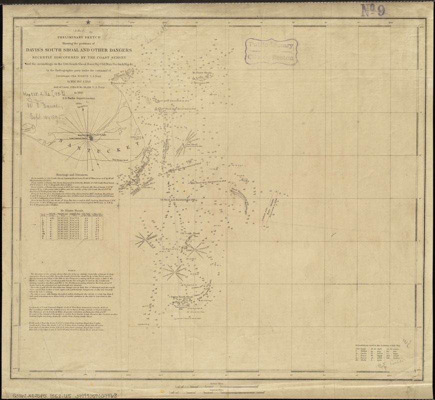
Preliminary sketch showing the positions of Davis's Shoal and other dangers recently discovered by the Coast Survey and the soundings on the Old South Shoal Bass Rip., Old Man. Pochinck Rip., &c
Item Information
- Title:
- Preliminary sketch showing the positions of Davis's Shoal and other dangers recently discovered by the Coast Survey and the soundings on the Old South Shoal Bass Rip., Old Man. Pochinck Rip., &c
- Creator:
- United States Coast Survey
- Name on Item:
-
by the Hydrographic party under the command of Lieutenant Cha. A. Davis ...
- Date:
-
[1852]
- Format:
-
Maps/Atlases
- Location:
-
Boston Public Library
Norman B. Leventhal Map & Education Center - Collection (local):
-
Norman B. Leventhal Map & Education Center Collection
- Subjects:
-
Nautical charts--Massachusetts--Nantucket Shoals
Nantucket Shoals (Mass.)--Maps
- Places:
-
MassachusettsNantucket (county)Nantucket Shoals (area)
- Extent:
- 1 map ; 37 x 43 cm.
- Terms of Use:
-
No known copyright restrictions.
No known restrictions on use.
- Publisher:
-
[Washington, D.C.] :
U.S. Coast and Geodetic Survey
- Scale:
-
Scale 1:200,000 ;
- Language:
-
English
- Notes:
-
Depths shown by soundings and shading.
Includes bearings, distances, tides and tidal currents, and bottom types.
"A No. 3."
- Notes (date):
-
This date is inferred.
- Identifier:
-
06_01_005152
- Call #:
-
G3762.N325P5 1852 .U5
- Barcode:
-
39999059009868