Toggle navigation
LMEC Home
Exhibitions
Georeferencing
Tools for Teachers
Collections
My Favorites
Sign Up / Log In
Search
Search the map portal
Map Collection
Map Collection
Map Sets
Search
Search
Search for
Search In
All Fields
Creator
Title
Subject
Place
Search All Digital Collections
Advanced Search
8719 Results
My Search
Start Over
More Like
commonwealth:x059cd487
Remove constraint More Like: commonwealth:x059cd487
Filter your Search
Place
North and Central America
5,938
United States
4,863
Massachusetts
2,079
Europe
1,396
Suffolk (county)
1,046
Boston
1,019
Canada
450
Asia
438
more
Place
»
Topic
Boston (Mass.)--Maps
586
United States--Maps
282
Real property--Massachusetts--Boston--Maps
175
Massachusetts--Maps
162
Landowners--Massachusetts--Boston--Maps
133
North America--Maps--Early works to 1800
105
New England--Maps
102
Europe--Maps
79
more
Topic
»
Date
Date range begin
–
Date range end
Current results range from
1482
to
2023
View distribution
Creator
United States. Hydrographic Office
595
O.H. Bailey & Co
148
Des Barres, Joseph F. W. (Joseph Frederick Wallet), 1722-1824
123
United States. Post Office Dept
120
Ptolemy, 2nd cent
100
Walling, Henry Francis, 1825-1888
94
Geological Survey (U.S.)
86
Jefferys, Thomas, -1771
86
more
Creator
»
Format
Maps/Atlases
8,659
Manuscripts
215
Prints
56
Books
36
Objects/Artifacts
10
Drawings/Illustrations
8
Posters
5
Georeferenced
Yes
869
No
7,850
Collection
Norman B. Leventhal Map & Education Center Collection
8,694
Boston and New England Maps
2,233
Urban Maps
2,023
Maritime Charts and Atlases
1,083
American Revolutionary War-Era Maps
640
Boston Redevelopment Authority Collection
87
Richard H. Brown Revolutionary War Map Collection at Mount Vernon
10
Harvard Map Collection
3
more
Collection
»
Available to use
No known restrictions
8,555
Creative Commons license
65
Search Constraints
Sort by relevance
relevance
title
date (asc)
date (desc)
Number of results to display per page
20 per page
10
per page
20
per page
50
per page
100
per page
View results as:
grid view
map view
Search Results
5141.
A new map of England and Wales with the direct and cros roads also the number of miles between the townes on the roads by...
5142.
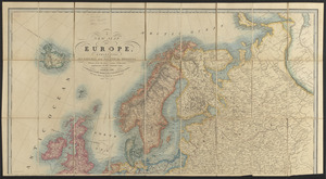
A new map of Europe, exhibiting its natural and political divisions : drawn from the most recent authorities (improves to the...
5143.
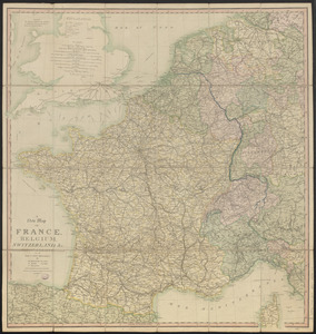
A new map of France, Belgium, Switzerland &c. : containing all the post & cross roads, with the rivers, & canals, also the old...
5144.
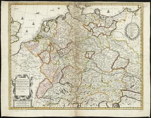
A new map of Germanie
5145.
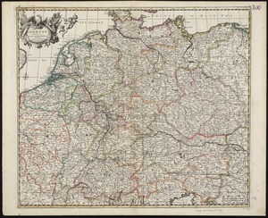
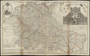
A new map of Germany divided into its general and perticuler parts
5146.
A new map of Germany, Hungary, Transilvania & the Suisse cantons : with many remarks not extant in any map
5147.
A new map of Great Britain : according to the newest and most exact observations
5148.
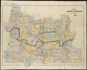
New map of Hampden & Hampshire counties : 1884
5149.
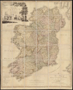
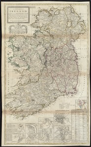
A new map of Ireland : civil and ecclesiastical
5150.
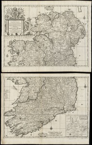
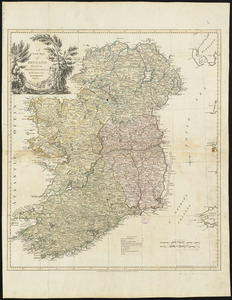
A new map of Ireland according to Sr. W. Petty (but supplied wth. many additions which are not in his survey nor in any other...
5151.
A new map of Ireland divided into its provinces, counties and baronies, wherein are distinguished the bishopricks, borroughs,...
5152.
A new map of Ireland divided into provinces, counties, &c
5153.
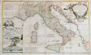
A new map of Italy distinguishing all the sovereignties in it, whether states, kingdoms, dutchies, principalities, republicks,...
5154.
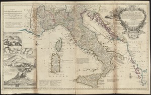
A new map of Italy distinguishing all the sovereignties in it, whether states, kingdoms, dutchies, principalities, republicks,...
5155.
A new map of Lake Champlain
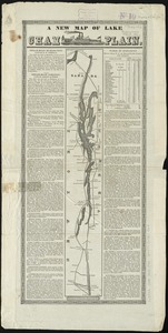
5156.
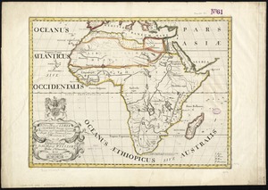
A new map of Libya or old Africk shewing its general divisions, most remarkable countries or people, cities, townes, rivers,...
5157.
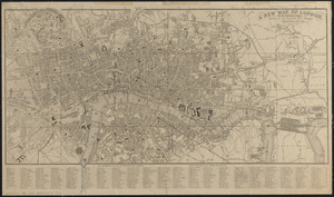
A new map of London, and the adjacent villages including the new streets and public buildings : corrected to 1836
5158.
A new map of Maine
5159.
New map of Massachusetts
5160.
New map of Massachusetts : compiled from the latest and best authorities and corrected by permission from the survey ordered by...
‹ Prev
Next ›
1
2
…
254
255
256
257
258
259
260
261
262
…
435
436