Toggle navigation
LMEC Home
Exhibitions
Georeferencing
Tools for Teachers
Collections
My Favorites
Sign Up / Log In
Search
Search the map portal
Map Collection
Map Collection
Map Sets
Search
Search
Search for
Search In
All Fields
Creator
Title
Subject
Place
Search All Digital Collections
Advanced Search
9048 Results
My Search
Start Over
More Like
commonwealth:wp98c3943
Remove constraint More Like: commonwealth:wp98c3943
Filter your Search
Place
North and Central America
6,279
United States
5,197
Massachusetts
2,150
Suffolk (county)
1,399
Europe
1,396
Boston
1,372
Canada
449
Asia
438
more
Place
»
Topic
Boston (Mass.)--Maps
676
City planning--Massachusetts--Boston--Maps
418
United States--Maps
282
Urban renewal--Massachusetts--Boston--Maps
253
Real property--Massachusetts--Boston--Maps
217
Massachusetts--Maps
162
Landowners--Massachusetts--Boston--Maps
135
North America--Maps--Early works to 1800
103
more
Topic
»
Date
Date range begin
–
Date range end
Current results range from
1482
to
2023
View distribution
Creator
United States. Hydrographic Office
595
Boston Redevelopment Authority
391
O.H. Bailey & Co
148
Des Barres, Joseph F. W. (Joseph Frederick Wallet), 1722-1824
123
United States. Post Office Dept
120
Ptolemy, 2nd cent
100
Walling, Henry Francis, 1825-1888
94
Geological Survey (U.S.)
86
more
Creator
»
Format
Maps/Atlases
8,988
Manuscripts
215
Prints
56
Books
36
Objects/Artifacts
10
Drawings/Illustrations
8
Posters
5
Georeferenced
Yes
869
No
8,179
Collection
Norman B. Leventhal Map & Education Center Collection
8,694
Boston and New England Maps
2,586
Urban Maps
2,374
Maritime Charts and Atlases
1,083
American Revolutionary War-Era Maps
616
Boston Redevelopment Authority Collection
440
Available to use
No known restrictions
8,906
Creative Commons license
47
Search Constraints
Sort by relevance
relevance
title
date (asc)
date (desc)
Number of results to display per page
20 per page
10
per page
20
per page
50
per page
100
per page
View results as:
grid view
map view
Search Results
4641.
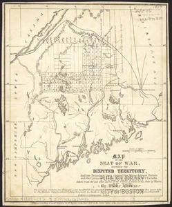
Map of the seat of war, showing disputed territory, and the boundary lines claimed by Maine & Great Britain and that proposed...
4642.
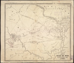
Map of the seat of war showing the battles of July 18th & 21st 1861
4643.
A map of the Seneca villages and the Jesuit and French contacts 1615-1708
4644.
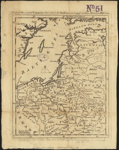
Map of the several countries thro' which the Russians are to pass in their march to Prussia
4645.
A map of the several dispositions of the English Fleet & Army on the River St. Laurence to the taking of Quebec
4646.
Map of the several routes from Rochester to Buffalo : compiled from county maps and actual surveys in the office of the...
4647.
Map of the Shenandoah & Upper Potomac including portions of Virginia and Maryland
4648.
Map of the Shenandoah Valley
4649.
Map of the siege of Vicksburg, Miss
4650.
Map of the Sodus Canal, and the internal improvements connecting with it forming the great route from the Atlantic to the Lakes
4651.
Map of the south Atlantic coast and a portion of the territory tributary thereto : to accompany proceedings of South Atlantic...
4652.
Map of the South Mountain and Boston Railroad & connections showing territory passed through, rail-roads and canals crossed or...
4653.
Map of the south western part of the United States : constructed and engraved to illustrate "The War with the South"
4654.
Map of the southern states of America, comprehending Maryland, Virginia, Kentucky, Territory s'th of the Ohio, North Carolina,...
4655.
Map of the Southern States, showing the relative proportion of slaves in the different localities
4656.
Map of the south-western part of British Columbia
4657.
Map of the state of Alabama
4658.
Map of the state of Georgia
4659.
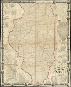
Map of the state of Illinois
4660.
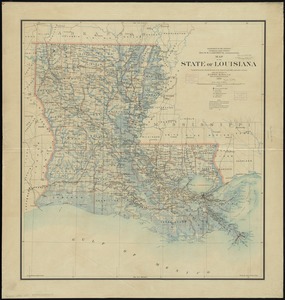
Map of the state of Louisiana
‹ Prev
Next ›
1
2
…
229
230
231
232
233
234
235
236
237
…
452
453