Toggle navigation
LMEC Home
Exhibitions
Georeferencing
Tools for Teachers
Collections
My Favorites
Sign Up / Log In
Search
Search the map portal
Map Collection
Map Collection
Map Sets
Search
Search
Search for
Search In
All Fields
Creator
Title
Subject
Place
Search All Digital Collections
Advanced Search
8701 Results
My Search
Start Over
More Like
commonwealth:wd376857t
Remove constraint More Like: commonwealth:wd376857t
Filter your Search
Place
North and Central America
5,932
United States
4,845
Massachusetts
2,079
Europe
1,396
Suffolk (county)
1,046
Boston
1,019
Canada
449
Asia
438
more
Place
»
Topic
Boston (Mass.)--Maps
586
United States--Maps
282
Real property--Massachusetts--Boston--Maps
175
Massachusetts--Maps
162
Landowners--Massachusetts--Boston--Maps
133
North America--Maps--Early works to 1800
103
New England--Maps
102
Europe--Maps
79
more
Topic
»
Date
Date range begin
–
Date range end
Current results range from
1482
to
2023
View distribution
Creator
United States. Hydrographic Office
595
O.H. Bailey & Co
148
Des Barres, Joseph F. W. (Joseph Frederick Wallet), 1722-1824
123
United States. Post Office Dept
120
Ptolemy, 2nd cent
100
Walling, Henry Francis, 1825-1888
94
Geological Survey (U.S.)
86
Jefferys, Thomas, -1771
85
more
Creator
»
Format
Maps/Atlases
8,641
Manuscripts
216
Prints
56
Books
36
Objects/Artifacts
10
Drawings/Illustrations
8
Posters
5
Georeferenced
Yes
869
No
7,832
Collection
Norman B. Leventhal Map & Education Center Collection
8,694
Boston and New England Maps
2,233
Urban Maps
2,023
Maritime Charts and Atlases
1,083
American Revolutionary War-Era Maps
622
Boston Redevelopment Authority Collection
87
Richard H. Brown Revolutionary War Map Collection at Mount Vernon
4
Harvard Map Collection
1
more
Collection
»
Available to use
No known restrictions
8,553
Creative Commons license
52
Search Constraints
Sort by relevance
relevance
title
date (asc)
date (desc)
Number of results to display per page
20 per page
10
per page
20
per page
50
per page
100
per page
View results as:
grid view
map view
Search Results
3721.
A map of New England, and Nova Scotia : with part of New York, Canada, and New Britain & the adjacent islands of New Found...
3722.
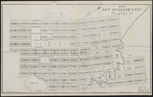
Map of New England City, Dade County, Ga
3723.
Map of New England exhibiting the rail road & telegraphic lines now in operation
3724.
Map of New England exhibiting the rail road and telegraphic lines now in operation
3725.
Map of New England with adjacent portions of New York & Canada
3726.
Map of New England with adjacent portions of New York & Canada
3727.
Map of New England with adjacent portions of New York & Canada
3728.
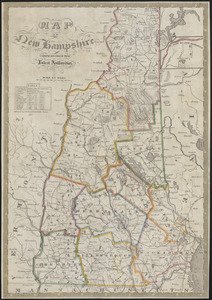
Map of New Hampshire : compiled from the latest authorities
3729.
Map of New Milford, Litchfield Co., Conn
3730.
Map of New York and vicinity
3731.
Map of New York and vicinity
3732.
Map of New York City showing concrete socialism in red, and private enterprises in white, 1895
3733.
A map of New York which is published by the Washington Square Bookshop
3734.
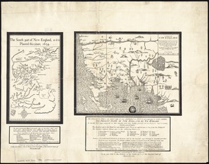
A map of New-England : being the first that ever was here cut, and done by the best pattern that could be had, which being in...
3735.
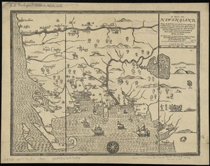
A map of New-England : being the first that ever was here cut, and done by the best pattern that could be had, which being in...
3736.
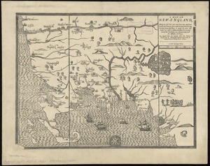
A map of New-England : being the first that ever was here cut, and done by the best pattern that could be had, which being in...
3737.
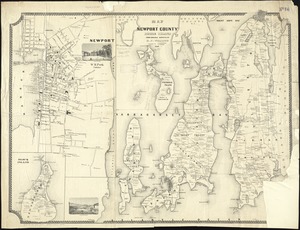
Map of Newport County, Rhode Island
3738.
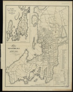
Map of Newport, R.I
3739.
Map of Newton Mass
3740.
Map of New-York
‹ Prev
Next ›
1
2
…
183
184
185
186
187
188
189
190
191
…
435
436