Toggle navigation
LMEC Home
Exhibitions
Georeferencing
Tools for Teachers
Collections
My Favorites
Sign Up / Log In
Search
Search the map portal
Map Collection
Map Collection
Map Sets
Search
Search
Search for
Search In
All Fields
Creator
Title
Subject
Place
Search All Digital Collections
Advanced Search
8885 Results
My Search
Start Over
More Like
commonwealth:wd376722h
Remove constraint More Like: commonwealth:wd376722h
Filter your Search
Place
North and Central America
6,116
United States
5,032
Massachusetts
2,129
Europe
1,396
Suffolk (county)
1,207
Boston
1,180
Canada
456
Asia
438
more
Place
»
Topic
Boston (Mass.)--Maps
752
United States--Maps
282
Real property--Massachusetts--Boston--Maps
195
Massachusetts--Maps
168
City planning--Massachusetts--Boston--Maps
157
Landowners--Massachusetts--Boston--Maps
142
New England--Maps
127
North America--Maps--Early works to 1800
103
more
Topic
»
Date
Date range begin
–
Date range end
Current results range from
1482
to
2023
View distribution
Creator
United States. Hydrographic Office
595
Boston Redevelopment Authority
162
O.H. Bailey & Co
148
Des Barres, Joseph F. W. (Joseph Frederick Wallet), 1722-1824
124
United States. Post Office Dept
120
Ptolemy, 2nd cent
100
Walling, Henry Francis, 1825-1888
94
Geological Survey (U.S.)
87
more
Creator
»
Format
Maps/Atlases
8,825
Manuscripts
215
Prints
56
Books
36
Objects/Artifacts
10
Drawings/Illustrations
8
Posters
5
Georeferenced
Yes
885
No
8,000
Collection
Norman B. Leventhal Map & Education Center Collection
8,727
Boston and New England Maps
2,363
Urban Maps
2,142
Maritime Charts and Atlases
1,083
American Revolutionary War-Era Maps
653
Boston Redevelopment Authority Collection
191
Mapping Boston Collection
20
American Antiquarian Society Collection
16
more
Collection
»
Available to use
No known restrictions
8,668
Creative Commons license
73
Search Constraints
Sort by relevance
relevance
title
date (asc)
date (desc)
Number of results to display per page
20 per page
10
per page
20
per page
50
per page
100
per page
View results as:
grid view
map view
Search Results
5541.
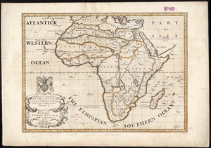
A new map of Africk : shewing its present general divisions cheif cities or towns, rivers, mountain &c. : dedicated to His...
5542.
A new map of America from the latest observations
5543.
A new map of Carolina
5544.
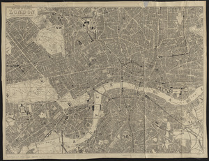
New map of central London divided into quarter mile squares
5545.
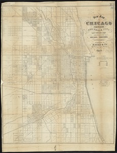
New map of Chicago : comprising the whole city, taken from Lowe's map, with all the recent additions, subdivisions & extensions
5546.
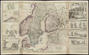
A new map of Denmark and Sweden : according to ye newest and most exact observations
5547.
A new map of England & Wales, drawn from the latest surveys
5548.
A new map of England and Wales with the direct and cros roads also the number of miles between the townes on the roads by...
5549.
A new map of Europe, exhibiting its natural and political divisions : drawn from the most recent authorities (improves to the...
5550.
A new map of France, Belgium, Switzerland &c. : containing all the post & cross roads, with the rivers, & canals, also the old...
5551.
A new map of Germanie
5552.
A new map of Germany divided into its general and perticuler parts
5553.
A new map of Germany, Hungary, Transilvania & the Suisse cantons : with many remarks not extant in any map
5554.
A new map of Great Britain : according to the newest and most exact observations
5555.
New map of Hampden & Hampshire counties : 1884
5556.
A new map of Ireland : civil and ecclesiastical
5557.
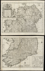
A new map of Ireland according to Sr. W. Petty (but supplied wth. many additions which are not in his survey nor in any other...
5558.
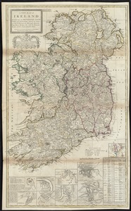
A new map of Ireland divided into its provinces, counties and baronies, wherein are distinguished the bishopricks, borroughs,...
5559.
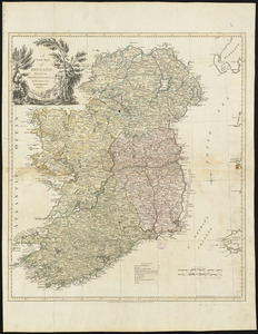
A new map of Ireland divided into provinces, counties, &c
5560.
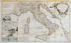
A new map of Italy distinguishing all the sovereignties in it, whether states, kingdoms, dutchies, principalities, republicks,...
‹ Prev
Next ›
1
2
…
274
275
276
277
278
279
280
281
282
…
444
445