Toggle navigation
LMEC Home
Exhibitions
Georeferencing
Tools for Teachers
Collections
My Favorites
Sign Up / Log In
Search
Search the map portal
Map Collection
Map Collection
Map Sets
Search
Search
Search for
Search In
All Fields
Creator
Title
Subject
Place
Search All Digital Collections
Advanced Search
8932 Results
My Search
Start Over
More Like
commonwealth:wd3767064
Remove constraint More Like: commonwealth:wd3767064
Filter your Search
Place
North and Central America
6,163
United States
5,067
Massachusetts
2,204
Europe
1,396
Suffolk (county)
1,208
Boston
1,181
Canada
450
Asia
438
more
Place
»
Topic
Boston (Mass.)--Maps
752
United States--Maps
282
Massachusetts--Maps
235
Real property--Massachusetts--Boston--Maps
195
City planning--Massachusetts--Boston--Maps
157
Landowners--Massachusetts--Boston--Maps
142
New England--Maps
106
North America--Maps--Early works to 1800
103
more
Topic
»
Date
Date range begin
–
Date range end
Current results range from
1482
to
2023
View distribution
Creator
United States. Hydrographic Office
595
Boston Redevelopment Authority
162
O.H. Bailey & Co
148
Des Barres, Joseph F. W. (Joseph Frederick Wallet), 1722-1824
124
United States. Post Office Dept
120
Ptolemy, 2nd cent
100
Walling, Henry Francis, 1825-1888
95
Geological Survey (U.S.)
92
more
Creator
»
Format
Maps/Atlases
8,871
Manuscripts
217
Prints
56
Books
36
Objects/Artifacts
10
Drawings/Illustrations
8
Posters
5
Ephemera
1
Georeferenced
Yes
894
No
8,038
Collection
Norman B. Leventhal Map & Education Center Collection
8,765
Boston and New England Maps
2,403
Urban Maps
2,143
Maritime Charts and Atlases
1,083
American Revolutionary War-Era Maps
657
Boston Redevelopment Authority Collection
194
Mapping Boston Collection
22
Applied Geographics, Inc. Records
21
more
Collection
»
Available to use
No known restrictions
8,707
Creative Commons license
73
Search Constraints
Sort by relevance
relevance
title
date (asc)
date (desc)
Number of results to display per page
20 per page
10
per page
20
per page
50
per page
100
per page
View results as:
grid view
map view
Search Results
4441.
Map of Rappahannock County, Virginia : prepared under the direction of P.S. Michie
4442.
A map of Rhode Island
4443.
Map of Richland Co., Ohio
4444.
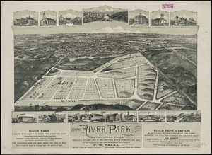
Map of River Park, Newton Upper Falls
4445.
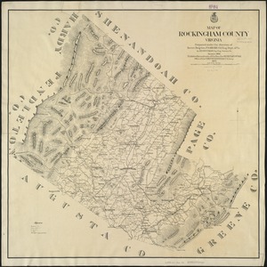
Map of Rockingham County, Virginia
4446.
Map of routes for a Pacific railroad
4447.
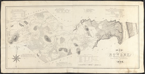
Map of Rowley
4448.
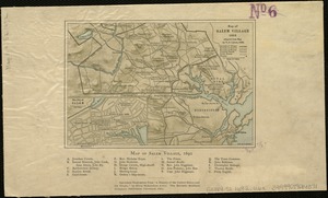
[Map of Salem, Mass.]
4449.
Map of Salem Village 1692
4450.
Map of San Francisco & San Joaquin Valley Ry. and Atchison lines in California
4451.
Map of Saratoga Co., New York
4452.
Map of Schuylkill County, Pennsylvania
4453.
Map of Scituate Rhode Island
4454.
[Map of Scranton], Pa
4455.
Map of Seminole Nation
4456.
Map of senatorial districts of Massachusetts, as established by the legislature of 1886 : with population and legal voters...
4457.
Map of Shenandoah & Page counties and part of Warren County, Virginia
4458.
A map of some of the south and east bounds of Pennsylvania in America, being partly inhabited
4459.
Map of Somerset Co., Maine
4460.
Map of Somerville, Mass
‹ Prev
Next ›
1
2
…
219
220
221
222
223
224
225
226
227
…
446
447

![[Map of Salem, Mass.]](https://bpldcassets.blob.core.windows.net/derivatives/images/commonwealth:8336h3099/image_thumbnail_300.jpg)

![[Map of Scranton], Pa](https://bpldcassets.blob.core.windows.net/derivatives/images/commonwealth:4m90fd43t/image_thumbnail_300.jpg)