Toggle navigation
LMEC Home
Exhibitions
Georeferencing
Tools for Teachers
Collections
My Favorites
Sign Up / Log In
Search
Search the map portal
Map Collection
Map Collection
Map Sets
Search
Search
Search for
Search In
All Fields
Creator
Title
Subject
Place
Search All Digital Collections
Advanced Search
8941 Results
My Search
Start Over
More Like
commonwealth:w9505s760
Remove constraint More Like: commonwealth:w9505s760
Filter your Search
Place
North and Central America
6,092
United States
4,936
Massachusetts
2,079
Europe
1,396
Suffolk (county)
1,046
Boston
1,019
Canada
503
Asia
441
more
Place
»
Topic
Boston (Mass.)--Maps
586
United States--Maps
282
North America--Maps--Early works to 1800
240
Real property--Massachusetts--Boston--Maps
175
Massachusetts--Maps
162
Landowners--Massachusetts--Boston--Maps
133
United States--Maps--Early works to 1800
103
New England--Maps
102
more
Topic
»
Date
Date range begin
–
Date range end
Current results range from
1482
to
2023
View distribution
Creator
United States. Hydrographic Office
595
O.H. Bailey & Co
148
Des Barres, Joseph F. W. (Joseph Frederick Wallet), 1722-1824
123
United States. Post Office Dept
120
Ptolemy, 2nd cent
100
Jefferys, Thomas, -1771
95
Walling, Henry Francis, 1825-1888
94
Sayer, Robert, 1725-1794
87
more
Creator
»
Format
Maps/Atlases
8,881
Manuscripts
219
Prints
56
Books
36
Objects/Artifacts
10
Drawings/Illustrations
8
Posters
5
Georeferenced
Yes
874
No
8,067
Collection
Norman B. Leventhal Map & Education Center Collection
8,706
Boston and New England Maps
2,234
Urban Maps
2,023
Maritime Charts and Atlases
1,083
American Revolutionary War-Era Maps
845
MacLean Collection Map Library
126
Boston Redevelopment Authority Collection
87
New York Public Library Collection
46
more
Collection
»
Available to use
No known restrictions
8,558
Creative Commons license
140
Search Constraints
Sort by relevance
relevance
title
date (asc)
date (desc)
Number of results to display per page
20 per page
10
per page
20
per page
50
per page
100
per page
View results as:
grid view
map view
Search Results
6121.
Philips' map of the seat of war shewing the country from Paris to Berlin, with the Rhine Provinces on a large scale
6122.
Philips' new commercial map of Europe
6123.
Philips' new library map of Africa
6124.
Philips' new map of Central Europe
6125.
Philip's new plan of London
6126.
Philips Radio
6127.
Philips' sketch map of the Klondike gold region, Yukon district, Dominion of Canada : compiled from the latest authentic...
6128.
Photo relief map of England
6129.
Photo relief map of Europe
6130.
Photo relief map of Scotland
6131.
Physical geography with the boundaries of ancient China
6132.
Physical map of Germany
6133.
Physical map of the Crimea, with enlarged maps of the seat of war and views of Sebastopol & Balaklava
6134.
Physical map of the world, April 2001
6135.
Physiographic diagram of Europe
6136.
Physiographical map of North Carolina
6137.
Pianta della campagna Romana nello stato antico e moderno
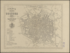
6138.
Pianta della città di Bologna
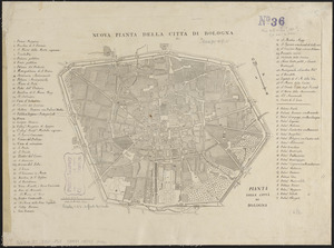
6139.
Pianta della città di Bologna
6140.
Pianta della città di Boston
‹ Prev
Next ›
1
2
…
303
304
305
306
307
308
309
310
311
…
447
448