Toggle navigation
LMEC Home
Exhibitions
Georeferencing
Tools for Teachers
Collections
My Favorites
Sign Up / Log In
Search
Search the map portal
Map Collection
Map Collection
Map Sets
Search
Search
Search for
Search In
All Fields
Creator
Title
Subject
Place
Search All Digital Collections
Advanced Search
8765 Results
My Search
Start Over
More Like
commonwealth:w9505s603
Remove constraint More Like: commonwealth:w9505s603
Filter your Search
Place
North and Central America
5,922
United States
4,848
Massachusetts
2,067
Europe
1,392
Suffolk (county)
1,040
Boston
1,013
Canada
465
Asia
437
more
Place
»
Topic
Boston (Mass.)--Maps
582
United States--Maps
279
North America--Maps--Early works to 1800
180
Real property--Massachusetts--Boston--Maps
175
Massachusetts--Maps
161
Landowners--Massachusetts--Boston--Maps
133
New England--Maps
101
Europe--Maps
79
more
Topic
»
Date
Date range begin
–
Date range end
Current results range from
1482
to
2023
View distribution
Creator
United States. Hydrographic Office
595
O.H. Bailey & Co
148
Des Barres, Joseph F. W. (Joseph Frederick Wallet), 1722-1824
123
United States. Post Office Dept
120
Ptolemy, 2nd cent
100
Walling, Henry Francis, 1825-1888
94
Jefferys, Thomas, -1771
91
Geological Survey (U.S.)
86
more
Creator
»
Format
Maps/Atlases
8,706
Manuscripts
219
Prints
56
Books
36
Objects/Artifacts
10
Drawings/Illustrations
8
Posters
4
Georeferenced
Yes
874
No
7,891
Collection
Norman B. Leventhal Map & Education Center Collection
8,656
Boston and New England Maps
2,222
Urban Maps
1,992
Maritime Charts and Atlases
1,083
American Revolutionary War-Era Maps
717
Boston Redevelopment Authority Collection
87
New York Public Library Collection
46
Richard H. Brown Revolutionary War Map Collection at Mount Vernon
28
more
Collection
»
Available to use
No known restrictions
8,508
Creative Commons license
140
Search Constraints
Sort by relevance
relevance
title
date (asc)
date (desc)
Number of results to display per page
20 per page
10
per page
20
per page
50
per page
100
per page
View results as:
grid view
map view
Search Results
441.
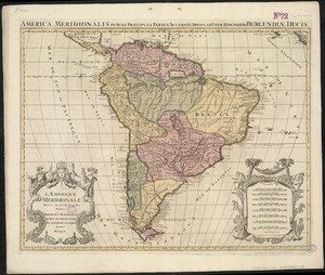
L'Amerique Meridionale divisée en ses principales parties
442.
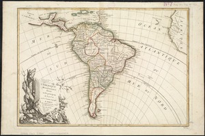
Amerique meridionale divisée en ses principales parties ou sont distingués les vns des autres les estats suivant qu'ils...
443.
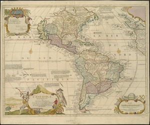
L'Amerique meridionale divisée en ses principaux etats
444.
L'Amerique, meridionale, et septentrionale
445.
Amérique Septentrionale
446.
L'Amérique Septentrionale & Meridionale divisée en ses principales parties, ou sont distingués les vns des autres les estats...
447.
L'Amérique suivant le R.P. Charlevoix Jte, Mr. de La Condamine et plusieurs autres nouvle. observations
448.
Amesbury and Salisbury Mills, Mass : 1880
449.
Amherst, Mass
450.
Amsterdam, N.Y : 1875
451.
[An unfinished tracing of Joshua Fisher's copy on parchment of Oliver's paper plat of land in Dorchester, made in 1661]
452.
Anatolia and Armenia
453.
Anchorages in the Fiji Group : from British surveys ; corrected to 1872
454.
Anchorages on the east coast of the Korea
455.
Ancient Spain & Portugal : Hispania or Iberia
456.
The Ancient Tegesta, now promontory of East Florida
457.
An anciente mappe of Fairyland : newly discovered and set forth
458.
Andaluzia continens Sevillam et Cordubam
459.
Anderson's map of the Upper Yukon and adjacent regions
460.
Andrews's new and accurate travelling map of the roads of Scotland : shewing the distances between the towns &c
‹ Prev
Next ›
1
2
…
19
20
21
22
23
24
25
26
27
…
438
439


![[An unfinished tracing of Joshua Fisher's copy on parchment of Oliver's paper plat of land in Dorchester, made in 1661]](https://bpldcassets.blob.core.windows.net/derivatives/images/commonwealth:wd376179d/image_thumbnail_300.jpg)


