Toggle navigation
LMEC Home
Exhibitions
Georeferencing
Tools for Teachers
Collections
My Favorites
Sign Up / Log In
Search
Search the map portal
Map Collection
Map Collection
Map Sets
Search
Search
Search for
Search In
All Fields
Creator
Title
Subject
Place
Search All Digital Collections
Advanced Search
8669 Results
My Search
Start Over
More Like
commonwealth:w9505s603
Remove constraint More Like: commonwealth:w9505s603
Filter your Search
Place
North and Central America
5,881
United States
4,812
Massachusetts
2,052
Europe
1,359
Suffolk (county)
1,034
Boston
1,007
Canada
464
Asia
422
more
Place
»
Topic
Boston (Mass.)--Maps
577
United States--Maps
273
North America--Maps--Early works to 1800
180
Real property--Massachusetts--Boston--Maps
174
Massachusetts--Maps
160
Landowners--Massachusetts--Boston--Maps
132
New England--Maps
99
Europe--Maps
78
more
Topic
»
Date
Date range begin
–
Date range end
Current results range from
1482
to
2023
View distribution
Creator
United States. Hydrographic Office
594
O.H. Bailey & Co
148
Des Barres, Joseph F. W. (Joseph Frederick Wallet), 1722-1824
123
United States. Post Office Dept
120
Ptolemy, 2nd cent
100
Walling, Henry Francis, 1825-1888
94
Jefferys, Thomas, -1771
91
Geological Survey (U.S.)
86
more
Creator
»
Format
Maps/Atlases
8,610
Manuscripts
219
Prints
56
Books
36
Objects/Artifacts
10
Drawings/Illustrations
8
Posters
4
Georeferenced
Yes
874
No
7,795
Collection
Norman B. Leventhal Map & Education Center Collection
8,560
Boston and New England Maps
2,205
Urban Maps
1,936
Maritime Charts and Atlases
1,081
American Revolutionary War-Era Maps
718
Boston Redevelopment Authority Collection
87
New York Public Library Collection
46
Richard H. Brown Revolutionary War Map Collection at Mount Vernon
28
more
Collection
»
Available to use
No known restrictions
8,413
Creative Commons license
139
Search Constraints
Sort by relevance
relevance
title
date (asc)
date (desc)
Number of results to display per page
20 per page
10
per page
20
per page
50
per page
100
per page
View results as:
grid view
map view
Search Results
181.
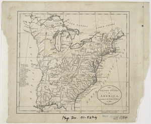
The United States of America, according to the Treaty of Peace of 1784
182.
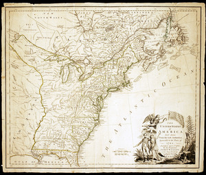
The United States of America laid down from the best authorities, agreeable to the Peace of 1783
183.
The United States of America laid down from the best authorities, agreeable to the Peace of 1783
184.
The United States of America with the British possessions of Canada, Nova Scotia, & of Newfoundland, divided with the French :...
185.
The United States of North America, with the British & Spanish territories according to the treaty
186.
The United States of North America, with the British & Spanish territories according to the treaty
187.
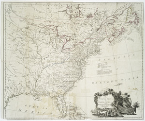
[A map of the east coast of America from Newfoundland to the Bay of Honduras]
188.
An accurate map of North America : Describing and distinguishing the British and Spanish dominions of this great continent;...
189.
An accurate map of North America : describing and distinguishing the British and Spanish dominions on this great continent :...
190.
An accurate map of the British Empire in Nth. America as settled by the preliminaries in 1762
191.
An accurate map of the British, French & Spanish settlements in Nth. America and the West Indies : as stipulated by the...
192.
An Accurate map of the present seat of war between Great-Britain and her colonies in North America
193.
Acurate charte von Nord-America : aus dem besten quellen
194.
America settentrionale divisa ne' suoi principali stati
195.
America sive novvs orbis respectv Evropaeorvm inferior globi terrestris pars
196.
Americae pars Borealis, Florida, Baccalaos, Canada, Corterealis
197.
L'Amerique divisée en septentrionale et méridionale, subdivisée en ses principales parties, dressée sur les relations les...
198.
L'Amérique septentrionale
199.
Amérique septentrionale avec les routes, distances en miles, limites et etablissements françois et anglois
200.
Amerique septentrionale divisée en ses principales parties
‹ Prev
Next ›
1
2
…
6
7
8
9
10
11
12
13
14
…
433
434


![[A map of the east coast of America from Newfoundland to the Bay of Honduras]](https://bpldcassets.blob.core.windows.net/derivatives/images/commonwealth:hx11z584h/image_thumbnail_300.jpg)


