Toggle navigation
LMEC Home
Exhibitions
Georeferencing
Tools for Teachers
Collections
My Favorites
Sign Up / Log In
Search
Search the map portal
Map Collection
Map Collection
Map Sets
Search
Search
Search for
Search In
All Fields
Creator
Title
Subject
Place
Search All Digital Collections
Advanced Search
8832 Results
My Search
Start Over
More Like
commonwealth:w9505r89v
Remove constraint More Like: commonwealth:w9505r89v
Filter your Search
Place
North and Central America
6,009
United States
4,859
Massachusetts
2,079
Europe
1,396
Suffolk (county)
1,046
Boston
1,019
Canada
454
Asia
441
more
Place
»
Topic
Boston (Mass.)--Maps
586
United States--Maps
282
North America--Maps--Early works to 1800
240
Real property--Massachusetts--Boston--Maps
175
Massachusetts--Maps
162
Landowners--Massachusetts--Boston--Maps
133
New England--Maps
102
Europe--Maps
79
more
Topic
»
Date
Date range begin
–
Date range end
Current results range from
1482
to
2023
View distribution
Creator
United States. Hydrographic Office
595
O.H. Bailey & Co
148
Des Barres, Joseph F. W. (Joseph Frederick Wallet), 1722-1824
123
United States. Post Office Dept
120
Ptolemy, 2nd cent
100
Walling, Henry Francis, 1825-1888
94
Jefferys, Thomas, -1771
92
Sayer, Robert, 1725-1794
87
more
Creator
»
Format
Maps/Atlases
8,772
Manuscripts
217
Prints
56
Books
36
Objects/Artifacts
10
Drawings/Illustrations
8
Posters
5
Georeferenced
Yes
872
No
7,960
Collection
Norman B. Leventhal Map & Education Center Collection
8,704
Boston and New England Maps
2,234
Urban Maps
2,023
Maritime Charts and Atlases
1,083
American Revolutionary War-Era Maps
738
Boston Redevelopment Authority Collection
87
MacLean Collection Map Library
59
New York Public Library Collection
32
more
Collection
»
Available to use
No known restrictions
8,556
Creative Commons license
111
Search Constraints
Sort by relevance
relevance
title
date (asc)
date (desc)
Number of results to display per page
20 per page
10
per page
20
per page
50
per page
100
per page
View results as:
grid view
map view
Search Results
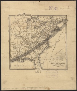
4261.
Map of the disputed territory,with a full description
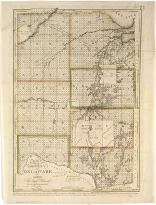
4262.
Map of the district of Delaware in Ohio
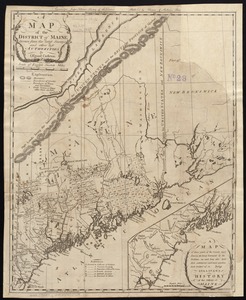
4263.
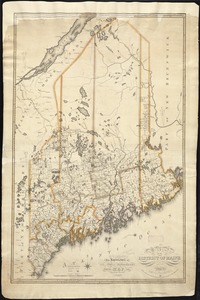
A map of the district of Maine, drawn from the latest surveys and other best authorities
4264.
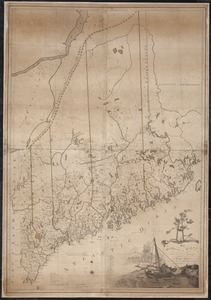
Map of the district of Maine from the latest and best authorities
4265.
Map of the district of Maine, Massachusetts : compiled from actual surveys made by order of the General Court and under the...
4266.
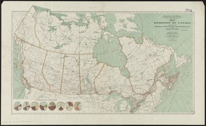
Map of the Dominion of Canada : indicating natural resources, transportation and trade routes
4267.
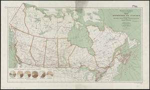
Map of the Dominion of Canada : indicating natural resources, transportation and trade routes
4268.
Map of the Dominion of Canada
4269.
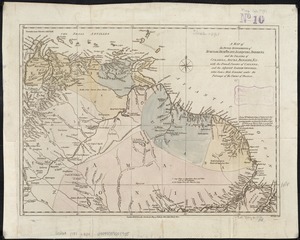
A map of the Dutch settlements of Surinam, Demerary, Issequibo, Berbices, and the islands of Curassoa, Aruba, Bonaire, &c :...
4270.
Map of the eastern and middle states
4271.
Map of the eastern division and branches, Erie Railway
4272.
Map of the eastern junc. Broad Sound Pier, & Pt. Shirley railroad : steamboat lines and connections : established for the...
4273.
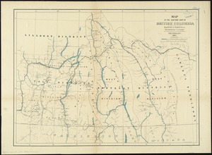
Map of the eastern part of British Columbia
4274.
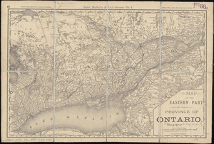
Map of the eastern part of the Province of Ontario
4275.
Map of the Eastern Railroad and principal connections
4276.
Map of the Eastern Railroad and principal connections
4277.
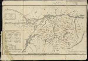
Map of the Eastern Townships of Lower Canada
4278.
A map of the East-Indies and the adjacent countries, with the settlements, factories and territories, explaning [sic] what...
4279.
A map of the eclipse of Feby. 12th in its passage across the United States
4280.
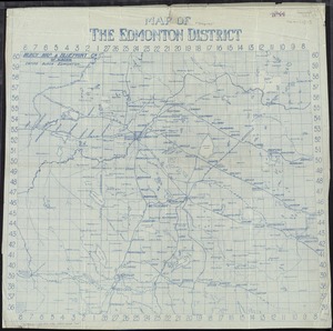
Map of the Edmonton District
‹ Prev
Next ›
1
2
…
210
211
212
213
214
215
216
217
218
…
441
442


![A map of the East-Indies and the adjacent countries, with the settlements, factories and territories, explaning [sic] what belongs to England, Spain, France, Holland, Denmark, Portugal &c. with many remarks not extant in any other map](https://bpldcassets.blob.core.windows.net/derivatives/images/commonwealth:cj82ks68x/image_thumbnail_300.jpg)