Toggle navigation
LMEC Home
Exhibitions
Georeferencing
Tools for Teachers
Collections
My Favorites
Sign Up / Log In
Search
Search the map portal
Map Collection
Map Collection
Map Sets
Search
Search
Search for
Search In
All Fields
Creator
Title
Subject
Place
Search All Digital Collections
Advanced Search
8849 Results
My Search
Start Over
More Like
commonwealth:tt44pv907
Remove constraint More Like: commonwealth:tt44pv907
Filter your Search
Place
North and Central America
6,080
United States
4,998
Massachusetts
2,090
Europe
1,396
Suffolk (county)
1,200
Boston
1,173
Canada
449
Asia
438
more
Place
»
Topic
Boston (Mass.)--Maps
607
United States--Maps
282
Real property--Massachusetts--Boston--Maps
253
City planning--Massachusetts--Boston--Maps
174
Landowners--Massachusetts--Boston--Maps
169
Massachusetts--Maps
162
North America--Maps--Early works to 1800
103
New England--Maps
102
more
Topic
»
Date
Date range begin
–
Date range end
Current results range from
1482
to
2023
View distribution
Creator
United States. Hydrographic Office
595
Boston Redevelopment Authority
175
O.H. Bailey & Co
148
Des Barres, Joseph F. W. (Joseph Frederick Wallet), 1722-1824
123
United States. Post Office Dept
120
Ptolemy, 2nd cent
100
Walling, Henry Francis, 1825-1888
94
Geological Survey (U.S.)
86
more
Creator
»
Format
Maps/Atlases
8,789
Manuscripts
215
Prints
56
Books
36
Objects/Artifacts
10
Drawings/Illustrations
8
Posters
5
Georeferenced
Yes
871
No
7,978
Collection
Norman B. Leventhal Map & Education Center Collection
8,697
Boston and New England Maps
2,352
Urban Maps
2,141
Maritime Charts and Atlases
1,083
American Revolutionary War-Era Maps
616
Boston Redevelopment Authority Collection
204
Massachusetts Real Estate Atlases
35
Applied Geographics, Inc. Records
2
more
Collection
»
Available to use
No known restrictions
8,671
Creative Commons license
48
Search Constraints
Sort by relevance
relevance
title
date (asc)
date (desc)
Number of results to display per page
20 per page
10
per page
20
per page
50
per page
100
per page
View results as:
grid view
map view
Search Results
5081.
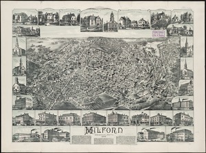
Milford, Massachusetts : 1888
5082.
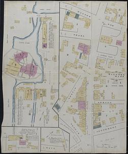
Milford, Massachusetts, Sanborn's survey, April 1874
5083.
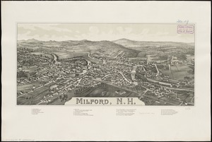
Milford, N.H
5084.
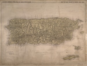
Military map, island of Puerto Rico
5085.
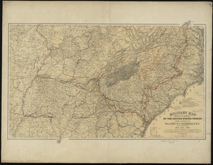
Military map of Maryland & Virginia
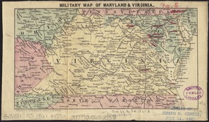
5086.
Military map of Nebraska and Dakota
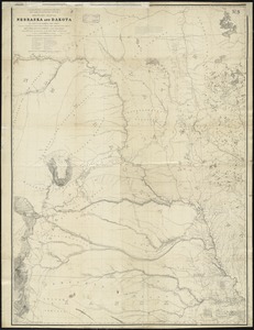
5087.
Military map of part of Louisiana
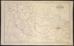
5088.
Military map of Pennsylvania
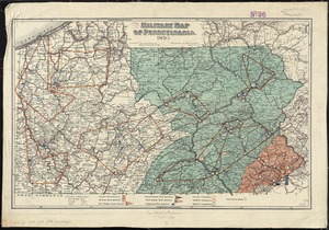
5089.
Military map of south-eastern Virginia
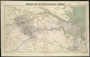
5090.
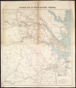
Military map of south-eastern Virginia
5091.
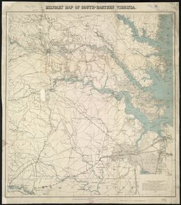
Military map of south-eastern Virginia
5092.
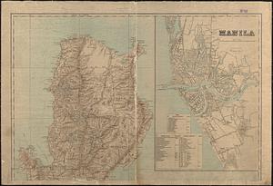
Military map of the isle of Luzon
5093.
Military map of the middle and southern states showing the seat of war during the great rebellion in 1861
5094.
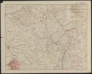
Military map of the theatre of war between France and Germany
5095.
Military map of the United States
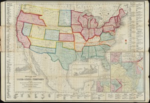
5096.
Military map of the United States & territories showing the location of the military posts, arsenals, Navy yards, & ports of...
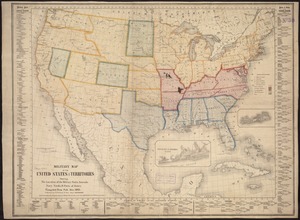
5097.
Military map of the United States & territories showing the location of the military posts, arsenals, Navy Yards, & ports of...
5098.
Military map of the United States of America showing location of all forces in training
5099.
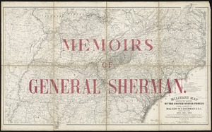
Military map showing the marches of the United States forces under command of Maj. Genl. W.T. Sherman, U.S.A., during the years...
5100.
Military map showing the marches of the United States forces under command of Maj. Genl. W.T. Sherman, U.S.A. during the years...
‹ Prev
Next ›
1
2
…
251
252
253
254
255
256
257
258
259
…
442
443