Toggle navigation
LMEC Home
Exhibitions
Georeferencing
Tools for Teachers
Collections
My Favorites
Sign Up / Log In
Search
Search the map portal
Map Collection
Map Collection
Map Sets
Search
Search
Search for
Search In
All Fields
Creator
Title
Subject
Place
Search All Digital Collections
Advanced Search
528 Results
My Search
Start Over
More Like
commonwealth:t722ks862
Remove constraint More Like: commonwealth:t722ks862
Filter your Search
Place
North and Central America
525
United States
519
Suffolk (county)
515
Boston
514
Massachusetts
83
South End
56
Roxbury
52
Back Bay
43
more
Place
»
Topic
City planning--Massachusetts--Boston--Maps
417
Urban renewal--Massachusetts--Boston--Maps
253
Boston (Mass.)--Maps
135
Buildings--Massachusetts--Boston--Maps
122
Land use--Massachusetts--Boston--Maps
100
Real property--Massachusetts--Boston--Maps
88
Roxbury (Boston, Mass.)--Maps
49
South End (Boston, Mass.)--Maps
49
more
Topic
»
Date
Date range begin
–
Date range end
Current results range from
1835
to
2017
View distribution
Creator
Boston Redevelopment Authority
376
Bromley, George Washington
24
Bromley, Walter Scott
24
G.W. Bromley & Co.
24
Downtown Waterfront Corporation
10
Victor Gruen Associates
10
Boston (Mass.). Parks and Recreation Department
8
Hopkins, Griffith Morgan, Jr.
7
more
Creator
»
Format
Maps/Atlases
527
Drawings/Illustrations
3
Manuscripts
1
Prints
1
Georeferenced
Yes
3
No
525
Collection
Boston and New England Maps
486
Urban Maps
472
Boston Redevelopment Authority Collection
446
Norman B. Leventhal Map Center Collection
108
Massachusetts Real Estate Atlases
34
Available to use
No known restrictions
492
Creative Commons license
1
Search Constraints
Sort by relevance
relevance
title
date (asc)
date (desc)
Number of results to display per page
20 per page
10
per page
20
per page
50
per page
100
per page
View results as:
grid view
map view
Search Results
501.
A land ownership map for the Longwood Medical Area as of January 1980
502.
Massachusetts highway program for 1965
503.
The Massachusetts interstate highway program
504.
Massachusetts outdoor recreation plan 1966 : public outdoor recreation areas
505.
Master highway plan metropolitan Boston showing the Massachusetts turnpike, route 128 (circumferential highway), Boston central...
506.
Mother Brook recreation study
507.
Neighborhood boundaries 1980
508.
New public library building, Boston, Mass. : 1/4 inch scale drawing for foundations of columns at Dartmouth Street entrance
509.
Off-street parking inventory within Boston proper
510.
Plan of the route of pipes from Jamaica Pond, in Roxbury to the reservoir, in Boston
511.
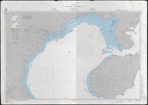
Port facilities at Boston, MA
512.
Public open space city of Boston
513.
Public outdoor recreation master plan
514.
Relationship between selected recreation sites and public transportation facilities Boston metropolitan area 1971
515.
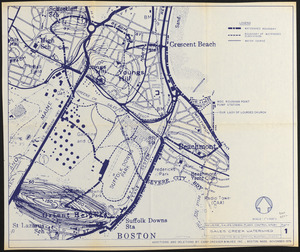
Revere, Sales Creek - flood control study
516.
Roxbury
517.
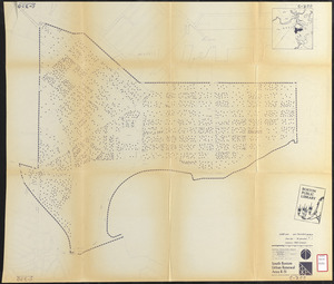
South Boston urban renewal area R-51 : existing population density
518.
South China Sea, Gulf of Tonkin, Vietnam--China, C'ua Nhuong to Leizhou Bandao including Hainan Dao
519.
Topographic map of Boston, Mass.
520.
Wards & precincts
‹ Prev
Next ›
1
2
…
22
23
24
25
26
27