Toggle navigation
LMEC Home
Exhibitions
Georeferencing
Tools for Teachers
Collections
My Favorites
Sign Up / Log In
Search
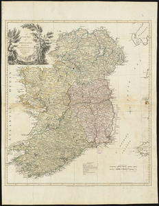
Search the map portal
Map Collection
Map Collection
Map Sets
Search
Search
Search for
Search In
All Fields
Creator
Title
Subject
Place
Search All Digital Collections
Advanced Search
8694 Results
My Search
Start Over
More Like
commonwealth:st74cz01p
Remove constraint More Like: commonwealth:st74cz01p
Filter your Search
Place
North and Central America
5,926
United States
4,844
Massachusetts
2,079
Europe
1,395
Suffolk (county)
1,046
Boston
1,019
Canada
449
Asia
438
more
Place
»
Topic
Boston (Mass.)--Maps
586
United States--Maps
282
Real property--Massachusetts--Boston--Maps
175
Massachusetts--Maps
162
Landowners--Massachusetts--Boston--Maps
133
North America--Maps--Early works to 1800
103
New England--Maps
102
Europe--Maps
79
more
Topic
»
Date
Date range begin
–
Date range end
Current results range from
1482
to
2023
View distribution
Creator
United States. Hydrographic Office
595
O.H. Bailey & Co
148
Des Barres, Joseph F. W. (Joseph Frederick Wallet), 1722-1824
123
United States. Post Office Dept
120
Ptolemy, 2nd cent
99
Walling, Henry Francis, 1825-1888
94
Geological Survey (U.S.)
86
Jefferys, Thomas, -1771
85
more
Creator
»
Format
Maps/Atlases
8,634
Manuscripts
215
Prints
56
Books
36
Objects/Artifacts
10
Drawings/Illustrations
8
Posters
5
Georeferenced
Yes
869
No
7,825
Collection
Norman B. Leventhal Map & Education Center Collection
8,694
Boston and New England Maps
2,233
Urban Maps
2,023
Maritime Charts and Atlases
1,083
American Revolutionary War-Era Maps
616
Boston Redevelopment Authority Collection
87
Available to use
No known restrictions
8,552
Creative Commons license
47
Search Constraints
Sort by relevance
relevance
title
date (asc)
date (desc)
Number of results to display per page
20 per page
10
per page
20
per page
50
per page
100
per page
View results as:
grid view
map view
Search Results
1.
Britannia prout divisa suit temporibus Anglo-Saxonum praesertim durante illorum heptarchia
2.
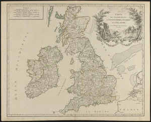
Carte des grandes routes d'Angleterre, d'Ecosse, et d'Irlande
3.
Cornubia, Davonia, Somersetus, Dorcestria, Wiltonia, Glocestria, Monumetha, Glamorgan, Caermarden, Pembroke, Cardigan, Radnor,...
4.
England and Wales accurately delineated from the latest surveys
5.
A new map of Great Britain : according to the newest and most exact observations
6.
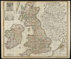
A new mapp of England Scotland and Ireland
7.
Tractus regni Angliae septentrion[alis] in quo ducatus Eboracensis, episcopatus Dunelmensis, comitatus Northumbriae, Cumbriae,...
8.
West Morlandia, Lancastria, Cestria, Caernaruan, Denbigh, Flint, Meridionidh, Montgomery, Salpia, cum insulis Mania et Anglesey
9.
An epitome of Sr. William Petty's large survey of Ireland divided into its 4 provinces & 32 counties ... and bridges
10.
Irlandiæ regnum
11.
Irlandiae regnum
12.
Magnae Britanniae et Hiberniae Tabula
13.
A new and accurate map of the kingdom of Ireland divided into provinces, counties & baronies : with all the cities, boroughs,...
14.
A new map of Ireland : civil and ecclesiastical
15.
A new map of Ireland according to Sr. W. Petty (but supplied wth. many additions which are not in his survey nor in any other...
16.
A new map of Ireland divided into its provinces, counties and baronies, wherein are distinguished the bishopricks, borroughs,...
17.
A new map of Ireland divided into provinces, counties, &c
18.
A pocket companion of Ireland : containing all the cities, market towns, boroughs, all ye great roads, and principal cross...
19.
Prima Europae tabula
20.
Prima Europe tabula
‹ Prev
Next ›
1
2
3
4
5
…
434
435


![Tractus regni Angliae septentrion[alis] in quo ducatus Eboracensis, episcopatus Dunelmensis, comitatus Northumbriae, Cumbriae, Westmoriae et Lancastriae cum Mona insula](https://bpldcassets.blob.core.windows.net/derivatives/images/commonwealth:cj82kr11k/image_thumbnail_300.jpg)