Toggle navigation
LMEC Home
Exhibitions
Georeferencing
Tools for Teachers
Collections
My Favorites
Sign Up / Log In
Search
Search the map portal
Map Collection
Map Collection
Map Sets
Search
Search
Search for
Search In
All Fields
Creator
Title
Subject
Place
Search All Digital Collections
Advanced Search
8648 Results
My Search
Start Over
More Like
commonwealth:st74cw46m
Remove constraint More Like: commonwealth:st74cw46m
Filter your Search
Place
North and Central America
5,885
United States
4,805
Massachusetts
2,068
Europe
1,392
Suffolk (county)
1,041
Boston
1,014
Canada
449
Asia
437
more
Place
»
Topic
Boston (Mass.)--Maps
582
United States--Maps
279
Real property--Massachusetts--Boston--Maps
175
Massachusetts--Maps
161
Landowners--Massachusetts--Boston--Maps
133
North America--Maps--Early works to 1800
103
New England--Maps
101
Europe--Maps
79
more
Topic
»
Date
Date range begin
–
Date range end
Current results range from
1482
to
2023
View distribution
Creator
United States. Hydrographic Office
595
O.H. Bailey & Co
148
Des Barres, Joseph F. W. (Joseph Frederick Wallet), 1722-1824
123
United States. Post Office Dept
120
Ptolemy, 2nd cent
100
Walling, Henry Francis, 1825-1888
94
Geological Survey (U.S.)
86
Jefferys, Thomas, -1771
85
more
Creator
»
Format
Maps/Atlases
8,588
Manuscripts
215
Prints
56
Books
36
Objects/Artifacts
10
Drawings/Illustrations
8
Posters
5
Georeferenced
Yes
869
No
7,779
Collection
Norman B. Leventhal Map & Education Center Collection
8,646
Boston and New England Maps
2,221
Urban Maps
1,992
Maritime Charts and Atlases
1,083
American Revolutionary War-Era Maps
616
Boston Redevelopment Authority Collection
87
MacLean Collection Map Library
1
Sidney R. Knafel Map Collection at Phillips Academy
1
Available to use
No known restrictions
8,504
Creative Commons license
47
Search Constraints
Sort by relevance
relevance
title
date (asc)
date (desc)
Number of results to display per page
20 per page
10
per page
20
per page
50
per page
100
per page
View results as:
grid view
map view
Search Results
1.
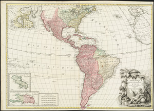
America
2.
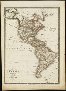
America : Nach Arrowsmith, Brué und Lapie mit Benutzung der neuesten Vermessungen
3.
America : nach Arrowsmith, Brué und Lapie mit Benutzung der neuesten-Vermessungen
4.
America, with the European Settlements, and the conquests of Cortes and Pizarro
5.
L'Amérique divisée en ses principaux états
6.
Géographie de l'Amérique
7.
Karte von America
8.
Naval chart of the Pacific and western Atlantic
9.
Now see America by Grace Line
10.
Pictorial map of the American continent : featuring the Pan American Highway and showing some of the natural resources, scenic...
11.
A two-way street between the Americas
12.
Americae siue noui orbis, noua descriptio
13.
L'Amerique divisée en tous ses pays et etats
14.
The 100th anniversary map of Abraham Lincoln's visit to Massachusetts, September 11-23, 1848
15.
1630 shoreline
16.
1879. Progress map of the U.S. Geographical Surveys west of the 100th Meridian : prepared under the direction of 1st Lieut....
17.
1903 Map of Salem and surrounding places
18.
19th annual convention of the National Association of Real Estate Boards : at Tulsa, June 7 to June 11 in 1926
19.
2005 significant U.S. hurricane strikes
20.
The 2100 project : an atlas for the Green New Deal
‹ Prev
Next ›
1
2
3
4
5
…
432
433