Toggle navigation
LMEC Home
Exhibitions
Georeferencing
Tools for Teachers
Collections
My Favorites
Sign Up / Log In
Search
Search the map portal
Map Collection
Map Collection
Map Sets
Search
Search
Search for
Search In
All Fields
Creator
Title
Subject
Place
Search All Digital Collections
Advanced Search
9085 Results
My Search
Start Over
More Like
commonwealth:sn00dg70r
Remove constraint More Like: commonwealth:sn00dg70r
Filter your Search
Place
North and Central America
6,316
United States
5,234
Massachusetts
2,152
Suffolk (county)
1,436
Boston
1,409
Europe
1,396
Canada
449
Asia
438
more
Place
»
Topic
Boston (Mass.)--Maps
686
City planning--Massachusetts--Boston--Maps
418
United States--Maps
282
Urban renewal--Massachusetts--Boston--Maps
253
Real property--Massachusetts--Boston--Maps
252
Landowners--Massachusetts--Boston--Maps
169
Massachusetts--Maps
162
Buildings--Massachusetts--Boston--Maps
125
more
Topic
»
Date
Date range begin
–
Date range end
Current results range from
1482
to
2023
View distribution
Creator
United States. Hydrographic Office
595
Boston Redevelopment Authority
392
O.H. Bailey & Co
148
Des Barres, Joseph F. W. (Joseph Frederick Wallet), 1722-1824
123
United States. Post Office Dept
120
Ptolemy, 2nd cent
100
Walling, Henry Francis, 1825-1888
94
Geological Survey (U.S.)
86
more
Creator
»
Format
Maps/Atlases
9,025
Manuscripts
215
Prints
56
Books
36
Objects/Artifacts
10
Drawings/Illustrations
8
Posters
5
Georeferenced
Yes
869
No
8,216
Collection
Norman B. Leventhal Map & Education Center Collection
8,695
Boston and New England Maps
2,589
Urban Maps
2,377
Maritime Charts and Atlases
1,083
American Revolutionary War-Era Maps
616
Boston Redevelopment Authority Collection
442
Massachusetts Real Estate Atlases
34
Applied Geographics, Inc. Records
1
Available to use
No known restrictions
8,909
Creative Commons license
47
Search Constraints
Sort by relevance
relevance
title
date (asc)
date (desc)
Number of results to display per page
20 per page
10
per page
20
per page
50
per page
100
per page
View results as:
grid view
map view
Search Results
7961.
The southwestern railroad system United States and Mexico
7962.
La souverainete de Dombes
7963.
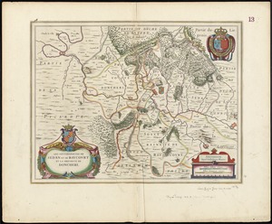
Les Souverainetez de Sedan et Raucourt et la Prevosté de Doncheri
7964.
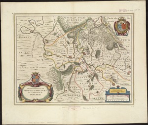
Les Souverainetez de Sedan et Raucourt et la Prevosté de Doncheri
7965.
Space shuttle mission chart STS-7
7966.
La Spagnuola
7967.
Spagnvola
7968.
Spagnvola
7969.
Spain & Portugal
7970.
Spain and Portugal
7971.
Spain and Portugal
7972.
Spain and Portugal
7973.
Spain and Portugal from the best authorities
7974.
Spain and Portugal, from the best authorities
7975.
The Spainish Netherlands, vulgarly called Flanders, devided into its X provinces, wherein are delineated the fortified towns...
7976.
Spain--south coast, Port Málaga : from the Spanish government survey of 1872
7977.
Spain--west coast, Arosa and Pontevedra Bays : from the latest Spanish surveys : republication of Brit. Admty. chart no. 1756
7978.
Spanish North America
7979.
Spanish North America, southern part
7980.
Spartanburg, South Carolina : the city of success ; city map and street directory
‹ Prev
Next ›
1
2
…
395
396
397
398
399
400
401
402
403
…
454
455