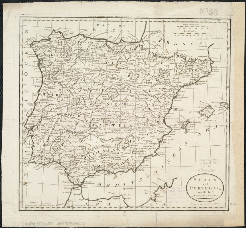
Spain and Portugal from the best authorities
Item Information
- Title:
- Spain and Portugal from the best authorities
- Creator:
- Carey, Mathew, 1760-1839
- Date:
-
[1796]
- Format:
-
Maps/Atlases
- Location:
-
Boston Public Library
Norman B. Leventhal Map & Education Center - Collection (local):
-
Norman B. Leventhal Map & Education Center Collection
- Subjects:
-
Iberian Peninsula--Maps--Early works to 1800
Spain--Maps--Early works to 1800
Portugal--Maps--Early works to 1800
- Places:
-
Iberian Peninsula (area)
Spain
Portugal
- Extent:
- 1 map ; 33 x 37 cm.
- Terms of Use:
-
No known copyright restrictions.
No known restrictions on use.
- Publisher:
-
London :
Matthew Carey
- Scale:
-
Scale 1:3,333,000.
- Language:
-
English
- Notes:
-
Relief shown pictorially.
Engraved for Careys American edition of Guthrie's Geography improved.
Cataloging, conservation, and digitization made possible in part by The National Endowment for the Humanities: Exploring the human endeavor.
- Notes (date):
-
This date is inferred.
- Identifier:
-
06_01_006492
- Call #:
-
G6540 1796 .C37
- Barcode:
-
39999059026078
![[Hispania]](https://bpldcassets.blob.core.windows.net/derivatives/images/commonwealth:7h14b057s/image_thumbnail_300.jpg)


