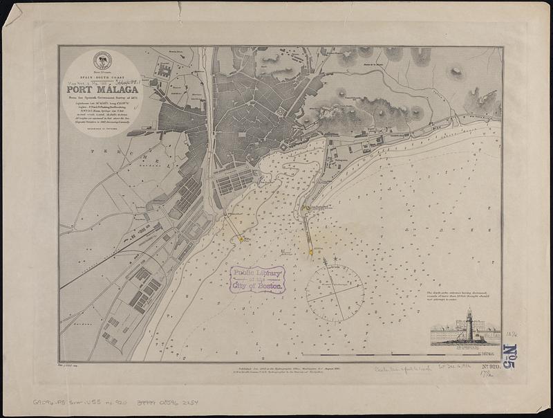
Spain--south coast, Port Málaga : from the Spanish government survey of 1872
Item Information
- Title:
- Spain--south coast, Port Málaga : from the Spanish government survey of 1872
- Issuing body:
- United States. Hydrographic Office
- Date:
-
[1888]
- Format:
-
Maps/Atlases
- Genre:
-
Nautical charts
- Location:
-
Boston Public Library
Norman B. Leventhal Map & Education Center - Collection (local):
-
Norman B. Leventhal Map & Education Center Collection
- Subjects:
-
Málaga (Spain)--Maps
Harbors--Spain--Málaga--Maps
Navigation--Spain--Málaga
- Places:
-
SpainAndalusia (region)Málaga (province)Málaga
- Extent:
- 1 map ; 32 x 45 cm
- Terms of Use:
-
No known copyright restrictions.
No known restrictions on use.
- Publisher:
-
Washington, D.C. :
Hydrographic Office
- Scale:
-
Scale approximately 1:10,200
- Language:
-
English
- Notes:
-
Relief shown by hachures. Depths shown by soundings and isolines.
Includes view of Lt. ho. & cathedral in line from the outer anchorage.
"Published Oct. 1882 at the Hydrographic Office, Washington, D.C. August 1885."
"Cor. 1888.44."
- Notes (date):
-
This date is inferred.
- Identifier:
-
06_01_017713
- Call #:
-
G9096.P5 svar .U55 no. 920
- Barcode:
-
39999085962254


