Toggle navigation
LMEC Home
Exhibitions
Georeferencing
Tools for Teachers
Collections
My Favorites
Sign Up / Log In
Search
Search the map portal
Map Collection
Map Collection
Map Sets
Search
Search
Search for
Search In
All Fields
Creator
Title
Subject
Place
Search All Digital Collections
Advanced Search
8881 Results
My Search
Start Over
More Like
commonwealth:rr173g410
Remove constraint More Like: commonwealth:rr173g410
Filter your Search
Place
North and Central America
6,112
United States
5,028
Massachusetts
2,131
Europe
1,396
Suffolk (county)
1,227
Boston
1,200
Canada
449
Asia
438
more
Place
»
Topic
Boston (Mass.)--Maps
752
United States--Maps
282
Real property--Massachusetts--Boston--Maps
195
City planning--Massachusetts--Boston--Maps
174
Massachusetts--Maps
166
Landowners--Massachusetts--Boston--Maps
142
New England--Maps
104
North America--Maps--Early works to 1800
103
more
Topic
»
Date
Date range begin
–
Date range end
Current results range from
1482
to
2023
View distribution
Creator
United States. Hydrographic Office
595
Boston Redevelopment Authority
179
O.H. Bailey & Co
148
Des Barres, Joseph F. W. (Joseph Frederick Wallet), 1722-1824
124
United States. Post Office Dept
120
Ptolemy, 2nd cent
100
Walling, Henry Francis, 1825-1888
94
Geological Survey (U.S.)
87
more
Creator
»
Format
Maps/Atlases
8,821
Manuscripts
215
Prints
56
Books
36
Objects/Artifacts
10
Drawings/Illustrations
8
Posters
5
Georeferenced
Yes
885
No
7,996
Collection
Norman B. Leventhal Map & Education Center Collection
8,725
Boston and New England Maps
2,377
Urban Maps
2,160
Maritime Charts and Atlases
1,083
American Revolutionary War-Era Maps
638
Boston Redevelopment Authority Collection
209
Mapping Boston Collection
20
Massachusetts Real Estate Atlases
12
more
Collection
»
Available to use
No known restrictions
8,685
Creative Commons license
69
Search Constraints
Sort by relevance
relevance
title
date (asc)
date (desc)
Number of results to display per page
20 per page
10
per page
20
per page
50
per page
100
per page
View results as:
grid view
map view
Search Results
7901.
State of South Dakota
7902.
State of Tennessee coal fields and producing districts
7903.
State of Virginia : stations and transmission lines used in public service in 1925 and gaging stations
7904.
State of Virginia coal fields and producing districts, September 1919
7905.
The state of Virginia from the best authorities
7906.
State of West Virginia and part of Maryland : coal fields and producing districts
7907.
State of West Virginia, stations and transmission lines used in public service in 1921
7908.
State of Wisconsin
7909.
The state of Wisconsin
7910.
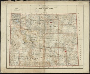
State of Wyoming
7911.
[Statement and plan of the Bill estate]
7912.
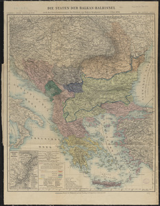
Die staten der Balkan-Halbinsel : nach den Grenzbestimmungen des Friedens von Haġios Stephanos (S. Stefano) 3. März 1878
7913.
States of America, drawn from the best authorities
7914.
The states of Maryland and Delaware, from the latest surveys
7915.
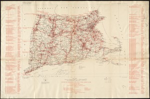
Stations and transmission lines used in public service in 1919 : [Massachusetts, Rhode Island, and Connecticut]
7916.
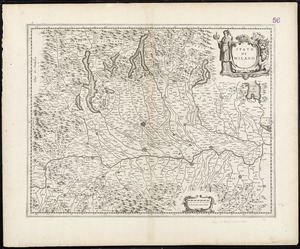
Stato di Milano
7917.
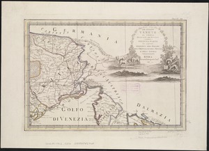
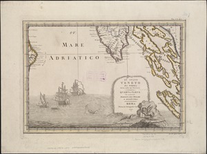
Lo Stato Veneto da terra diviso nelle sue provincie : seconda parte che comprede porzioni del Dogado del Trevisano del Friuli e...
7918.
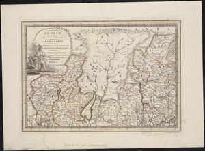
Lo Stato Veneto da terra diviso nelle sue provincie : prima parte che comprende Il Bergamasco Il Cremasco Il Feltrino Il...
7919.
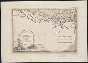
Lo Stato Veneto da terra diviso nelle sue provincie : quarta parte che compren de porzioni del Dogado e dell' Istria
7920.
Lo Stato Veneto da terra diviso nelle sue provincie : terza parte che comprende il polesine e porzioni del Bresciano Veronese...
‹ Prev
Next ›
1
2
…
392
393
394
395
396
397
398
399
400
…
444
445


![[Statement and plan of the Bill estate]](https://bpldcassets.blob.core.windows.net/derivatives/images/commonwealth:1257bc08v/image_thumbnail_300.jpg)