Toggle navigation
LMEC Home
Exhibitions
Georeferencing
Tools for Teachers
Collections
My Favorites
Sign Up / Log In
Search
Search the map portal
Map Collection
Map Collection
Map Sets
Search
Search
Search for
Search In
All Fields
Creator
Title
Subject
Place
Search All Digital Collections
Advanced Search
8773 Results
My Search
Start Over
More Like
commonwealth:qj72rq70n
Remove constraint More Like: commonwealth:qj72rq70n
Filter your Search
Place
North and Central America
6,004
United States
4,922
Massachusetts
2,088
Europe
1,396
Suffolk (county)
1,124
Boston
1,097
Canada
449
Asia
438
more
Place
»
Topic
Boston (Mass.)--Maps
606
United States--Maps
282
Real property--Massachusetts--Boston--Maps
253
Landowners--Massachusetts--Boston--Maps
170
Massachusetts--Maps
162
City planning--Massachusetts--Boston--Maps
108
North America--Maps--Early works to 1800
103
New England--Maps
102
more
Topic
»
Date
Date range begin
–
Date range end
Current results range from
1482
to
2023
View distribution
Creator
United States. Hydrographic Office
595
O.H. Bailey & Co
148
Des Barres, Joseph F. W. (Joseph Frederick Wallet), 1722-1824
123
United States. Post Office Dept
120
Boston Redevelopment Authority
110
Ptolemy, 2nd cent
100
Walling, Henry Francis, 1825-1888
94
Geological Survey (U.S.)
86
more
Creator
»
Format
Maps/Atlases
8,713
Manuscripts
215
Prints
56
Books
36
Objects/Artifacts
10
Drawings/Illustrations
8
Posters
5
Georeferenced
Yes
869
No
7,904
Collection
Norman B. Leventhal Map & Education Center Collection
8,695
Boston and New England Maps
2,276
Urban Maps
2,066
Maritime Charts and Atlases
1,083
American Revolutionary War-Era Maps
616
Boston Redevelopment Authority Collection
129
Massachusetts Real Estate Atlases
35
Applied Geographics, Inc. Records
1
Available to use
No known restrictions
8,596
Creative Commons license
47
Search Constraints
Sort by relevance
relevance
title
date (asc)
date (desc)
Number of results to display per page
20 per page
10
per page
20
per page
50
per page
100
per page
View results as:
grid view
map view
Search Results
4641.
A map of the Yearly Meeting of Friends for New England : 1850
4642.
A map of the yearly meeting of Friends for New England A.D. 1833
4643.
Map of the Yellowstone and Missouri Rivers and their tributaries : explored by Capt. W.F. Raynolds, Topl. Engrs., and 1st...
4644.
Map of the Yosemite Valley
4645.
Map of the Yosemite Valley : from surveys made by order of the Commissioners to manage the Yosemite Valley and Mariposa Big...
4646.
Map of the Yougoslav countries
4647.
Map of the Yukon Territory to illustrate the summary reports of R.G. McConnell, B.A., Jos. Keele, B.A., and C. Camsell, B.A
4648.
A map of those countries in which the apostles travelled : in propagating Christianity
4649.
Map of Tioga County, New York : from actual surveys
4650.
Map of Trumbull County, Ohio
4651.
A map of Turkey in Asia
4652.
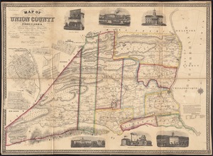
Map of Union County, Pennsylvania : entirely from original surveys
4653.
A map of Upper and Lower Canada : with part of the United States adjoining, comprising the present seat of war
4654.
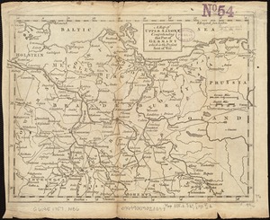
A map of Upper Saxony comprehending that part of Germany which is the present seat of war
4655.
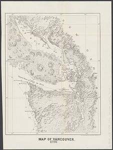
Map of Vancouver : 1798
4656.
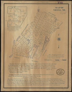
Map of Vienna, Me
4657.
A map of Virginia and Maryland
4658.
Map of Virginia and Maryland, constructed from the latest authorities
4659.
Map of Virginia and West Va., North and part of South Carolina, Maryland and Delaware, showing the situation in these states of...
4660.
Map of Virginia and West Virginia
‹ Prev
Next ›
1
2
…
229
230
231
232
233
234
235
236
237
…
438
439