Toggle navigation
LMEC Home
Exhibitions
Georeferencing
Tools for Teachers
Collections
My Favorites
Sign Up / Log In
Search
Search the map portal
Map Collection
Map Collection
Map Sets
Search
Search
Search for
Search In
All Fields
Creator
Title
Subject
Place
Search All Digital Collections
Advanced Search
8773 Results
My Search
Start Over
More Like
commonwealth:qj72rq70n
Remove constraint More Like: commonwealth:qj72rq70n
Filter your Search
Place
North and Central America
6,004
United States
4,922
Massachusetts
2,088
Europe
1,396
Suffolk (county)
1,124
Boston
1,097
Canada
449
Asia
438
more
Place
»
Topic
Boston (Mass.)--Maps
606
United States--Maps
282
Real property--Massachusetts--Boston--Maps
253
Landowners--Massachusetts--Boston--Maps
170
Massachusetts--Maps
162
City planning--Massachusetts--Boston--Maps
108
North America--Maps--Early works to 1800
103
New England--Maps
102
more
Topic
»
Date
Date range begin
–
Date range end
Current results range from
1482
to
2023
View distribution
Creator
United States. Hydrographic Office
595
O.H. Bailey & Co
148
Des Barres, Joseph F. W. (Joseph Frederick Wallet), 1722-1824
123
United States. Post Office Dept
120
Boston Redevelopment Authority
110
Ptolemy, 2nd cent
100
Walling, Henry Francis, 1825-1888
94
Geological Survey (U.S.)
86
more
Creator
»
Format
Maps/Atlases
8,713
Manuscripts
215
Prints
56
Books
36
Objects/Artifacts
10
Drawings/Illustrations
8
Posters
5
Georeferenced
Yes
869
No
7,904
Collection
Norman B. Leventhal Map & Education Center Collection
8,695
Boston and New England Maps
2,276
Urban Maps
2,066
Maritime Charts and Atlases
1,083
American Revolutionary War-Era Maps
616
Boston Redevelopment Authority Collection
129
Massachusetts Real Estate Atlases
35
Applied Geographics, Inc. Records
1
Available to use
No known restrictions
8,596
Creative Commons license
47
Search Constraints
Sort by relevance
relevance
title
date (asc)
date (desc)
Number of results to display per page
20 per page
10
per page
20
per page
50
per page
100
per page
View results as:
grid view
map view
Search Results
4441.
Map of the state of Maine : exhibiting the disputed territory in connexion with the adjacent British provinces of N. Brunswick...
4442.
Map of the state of Maine
4443.
A map of the state of Maine
4444.
Map of the state of Maine with the province of New Brunswick
4445.
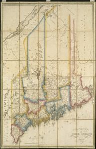
[Map] of the state of Massachusetts
4446.
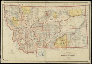
Map of the State of Montana
4447.
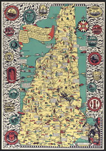
Map of the state of New Hampshire : looking over our whole country from east to west, let me ask if such a map was ever before...
4448.
Map of the state of New York
4449.
Map of the State of New York
4450.
A map of the State of New York
4451.
Map of the State of New York with part of the states of Pennsylvania, New Jersey &c
4452.
Map of the State of New-York : showing its water and rail road lines, Jany. 1854
4453.
Map of the State of New-York exhibiting the several towns and counties together with the population as determined by the census...
4454.
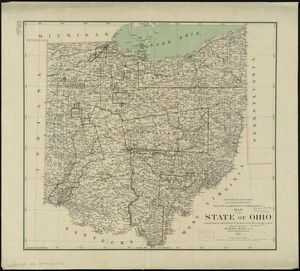
Map of the state of Ohio
4455.
A map of the state of Pennsylvania
4456.
A map of the State of Rhode Island
4457.
Map of the State of Rhode Island and Providence Plantations
4458.
Map of the State of Rhode Island, and Providence Plantations
4459.
A map of the State of Vermont
4460.
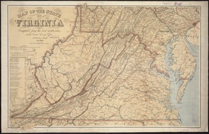
Map of the State of Virginia
‹ Prev
Next ›
1
2
…
219
220
221
222
223
224
225
226
227
…
438
439


![[Map] of the state of Massachusetts](https://bpldcassets.blob.core.windows.net/derivatives/images/commonwealth:wd376589g/image_thumbnail_300.jpg)