Toggle navigation
LMEC Home
Exhibitions
Georeferencing
Tools for Teachers
Collections
My Favorites
Sign Up / Log In
Search
Search the map portal
Map Collection
Map Collection
Map Sets
Search
Search
Search for
Search In
All Fields
Creator
Title
Subject
Place
Search All Digital Collections
Advanced Search
483 Results
My Search
Start Over
More Like
commonwealth:q524n888w
Remove constraint More Like: commonwealth:q524n888w
Filter your Search
Place
North and Central America
419
United States
296
New York
42
Florida
19
Canada
17
Alabama
15
Chatham (county)
15
Savannah
13
more
Place
»
Topic
Manuscript maps--Early works to 1800
92
Manuscript maps
21
Gulf Coast (U.S.)--Maps, Manuscript--Early works to 1800
12
Fortification--New York (State)--New York--Maps--Early works to 1800
11
New York (N.Y.)--Buildings, structures, etc--Maps, Manuscript--Early works to 1800
9
New York (N.Y.)--Maps, Manuscript--Early works to 1800
8
Saratoga Campaign, N.Y., 1777--Maps, Manuscript--Early works to 1800
8
Coasts--Florida--Maps--Early works to 1800
7
more
Topic
»
Date
Date range begin
–
Date range end
Current results range from
1700
to
1899
View distribution
Creator
Hills, John, (Surveyor)
18
Montrésor, John, 1736-1799
16
Bingham, William, 1752-1804
12
Adlum, John, 1759-1836
10
Washington, George, 1732-1799
9
Faden, William, 1749-1836
8
Morgan, Benjamin, (Draftsman)
7
Wangenheim, Friedrich Adam Julius von
7
more
Creator
»
Format
Maps/Atlases
481
Manuscripts
475
Objects/Artifacts
2
Georeferenced
Yes
5
No
478
Collection
American Revolutionary War-Era Maps
483
Library of Congress Collection
480
Maritime Charts and Atlases
31
Urban Maps
15
William L. Clements Library Collection
2
New-York Historical Society Collection
1
Available to use
Creative Commons license
480
No known restrictions
1
Search Constraints
Sort by date (asc)
relevance
title
date (asc)
date (desc)
Number of results to display per page
20 per page
10
per page
20
per page
50
per page
100
per page
View results as:
grid view
map view
Search Results
41.
Plan of the attack on Fort William Henry and Ticonderoga : showing the road from Fort Edward, Montcalm's camp and wharf of...
42.
Plan of the river of Annapolis Royal in Nova Scotia
43.
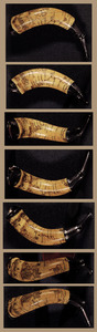
Powder horn with hand-drawn map of the Hudson River (above Albany), Mohawk River, Niagara region, and Lake Ontario in New York...
44.
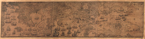
Havana : Vera Cruz
45.
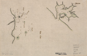
Map of the northern parts of New York
46.
Plan du Cap Breton, dit Louisbovrg avec ces environs pries
47.
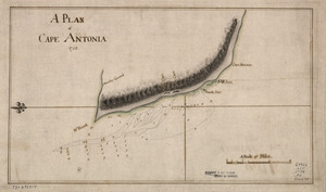
A Plan of Cape Antonia
48.
A plan of the coast of Gabarus Bay from the west end of Kennington Cove to White Point shewing the several batteries and...
49.
Plano de la Bahía de Fort Real cituado a la parte del oeste de la Ysla Martinica
50.
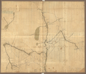
A Plan of Albany, as it was in the year 1758
51.
Plan of Fort Pownal at Penobscot built 1759
52.
Plan of Quebec, the capital of Canada in North America, with the bason and part of the adjacent contry [sic] shewing the...
53.
Plan of Quebec, the capital of Canada in North America, with the bason and part of the adjacent contry [sic] shewing the...
54.
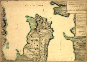
Plan of the fort and fortress at Crown Point with their environs : With the disposition of the English Army under the command...
55.
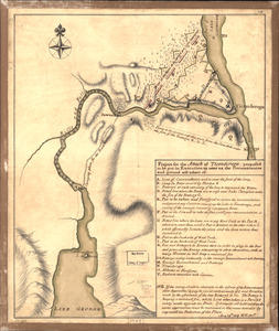
Project for the attack of Ticonderoga : proposed to be put in execution as near as the circumstances and ground will admit of....
56.
Ticonderoga as it was in 1759
57.
Braddock's route, 1755, Fort Cumberland to Fort Pitt
58.
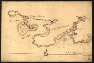
Map of St. Mary's and Petit d'Grat Harbour
59.
Map showing the Bowery Lane area of Manhattan
60.
Pansacola o Santta María de Galbe, puerto y presidio del Ry. de España situado en la costa del nortte del Seno Mexicano, los...
‹ Prev
Next ›
1
2
3
4
5
6
7
…
24
25

![Plan of Quebec, the capital of Canada in North America, with the bason and part of the adjacent contry [sic] shewing the principal encampments and works of the British Army commanded by Maior General Wolfe and those of the French Army commanded by Lieut. General, the Marquis of Mont Calm during the siege of that place in 1759 [overlay down]](https://bpldcassets.blob.core.windows.net/derivatives/images/commonwealth:q524nd83b/image_thumbnail_300.jpg)
![Plan of Quebec, the capital of Canada in North America, with the bason and part of the adjacent contry [sic] shewing the principal encampments and works of the British Army commanded by Maior General Wolfe and those of the French Army commanded by Lieut. General, the Marquis of Mont Calm during the siege of that place in 1759 [overlay up]](https://bpldcassets.blob.core.windows.net/derivatives/images/commonwealth:q524nd81s/image_thumbnail_300.jpg)