Toggle navigation
LMEC Home
Exhibitions
Georeferencing
Tools for Teachers
Collections
My Favorites
Sign Up / Log In
Search
Search the map portal
Map Collection
Map Collection
Map Sets
Search
Search
Search for
Search In
All Fields
Creator
Title
Subject
Place
Search All Digital Collections
Advanced Search
8670 Results
My Search
Start Over
More Like
commonwealth:q524n480v
Remove constraint More Like: commonwealth:q524n480v
Filter your Search
Place
North and Central America
5,909
United States
4,819
Massachusetts
2,068
Europe
1,392
Suffolk (county)
1,041
Boston
1,014
Canada
449
Asia
437
more
Place
»
Topic
Boston (Mass.)--Maps
582
United States--Maps
279
Real property--Massachusetts--Boston--Maps
175
Massachusetts--Maps
161
Landowners--Massachusetts--Boston--Maps
133
North America--Maps--Early works to 1800
103
New England--Maps
101
Europe--Maps
79
more
Topic
»
Date
Date range begin
–
Date range end
Current results range from
1482
to
2023
View distribution
Creator
United States. Hydrographic Office
595
O.H. Bailey & Co
148
Des Barres, Joseph F. W. (Joseph Frederick Wallet), 1722-1824
123
United States. Post Office Dept
120
Ptolemy, 2nd cent
100
Walling, Henry Francis, 1825-1888
94
Geological Survey (U.S.)
86
Jefferys, Thomas, -1771
85
more
Creator
»
Format
Maps/Atlases
8,610
Manuscripts
217
Prints
56
Books
36
Objects/Artifacts
10
Drawings/Illustrations
8
Posters
5
Georeferenced
Yes
869
No
7,801
Collection
Norman B. Leventhal Map & Education Center Collection
8,646
Boston and New England Maps
2,221
Urban Maps
1,992
Maritime Charts and Atlases
1,083
American Revolutionary War-Era Maps
638
Boston Redevelopment Authority Collection
87
MacLean Collection Map Library
12
New York Public Library Collection
5
more
Collection
»
Available to use
No known restrictions
8,504
Creative Commons license
58
Search Constraints
Sort by relevance
relevance
title
date (asc)
date (desc)
Number of results to display per page
20 per page
10
per page
20
per page
50
per page
100
per page
View results as:
grid view
map view
Search Results
1.
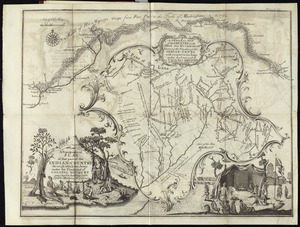
A topographical plan of that part of the Indian-country through which Colonel Bouquet marched in the year, 1764
2.
Carte des environs du Fort Pitt et de la nouvelle province Indiana : dediée a M. Franklin
3.
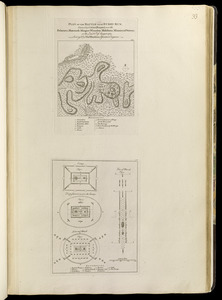
Plan of the battle near Bushy Run, gained by Colonel Bouquet over the Delawares, Shawanese, Mingoes, Wyandots, Mohikons,...
4.
Carte de la Pensylvanie et du Nouveau Jersey
5.
[Environs of Philadelphia]
6.
Karte von Neu England, Neu Yorck und Pensilvanien : sur Allgemeinen historie der reisen
7.
A map exhibiting a general view of the roads and inland navigation of Pennsylvania, and part of the adjacent states :...
8.
A map of Pennsylvania exhibiting not only the improved parts of that Province, but also its extensive frontiers : laid down...
9.
A map of the country between Will's Creek & Monongahela River shewing the rout and encampments of the English army in 1755
10.
A mapp of ye improved part of Pensilvania in America, divided into countyes, townships, and lotts
11.
A new and accurate map of the province of Pennsylvania in North America, from the best authorities
12.
New Engelland, New York, New Yersey und Pensilvania
13.
A new map of Virginia, Mary-land and the improved parts of Penn-sylvania & New Jersey
14.
Pensylvania Nova Jersey et Nova York cum Regionibus ad Fluvium Delaware in America sitis
15.
A plan of the city and environs of Philadelphia
16.
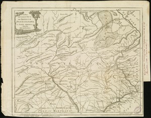
The State of Pennsylvania
17.
To the Honourable Thomas Penn and Richard Penn, Esqrs., true & absolute proprietaries & Governours of the Province of...
18.
An explanation of the map which delineates that part of the federal lands, comprehended between Pennsylvania west line, the...
19.
[A map of part of Pennsylvania & Maryland intended to shew, at one view, the several places proposed for opening a...
20.
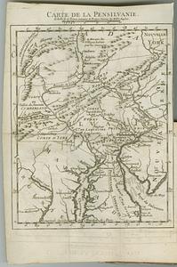
Carte de la Pensilvanie
‹ Prev
Next ›
1
2
3
4
5
…
433
434


![[Environs of Philadelphia]](https://bpldcassets.blob.core.windows.net/derivatives/images/commonwealth:7h149x76d/image_thumbnail_300.jpg)


![[A map of part of Pennsylvania & Maryland intended to shew, at one view, the several places proposed for opening a communication between the waters of the Delaware & Chesopeak Bays]](https://bpldcassets.blob.core.windows.net/derivatives/images/commonwealth:z603vt12v/image_thumbnail_300.jpg)