Toggle navigation
LMEC Home
Exhibitions
Georeferencing
Tools for Teachers
Collections
My Favorites
Sign Up / Log In
Search
Search the map portal
Map Collection
Map Collection
Map Sets
Search
Search
Search for
Search In
All Fields
Creator
Title
Subject
Place
Search All Digital Collections
Advanced Search
8834 Results
My Search
Start Over
More Like
commonwealth:q524n4547
Remove constraint More Like: commonwealth:q524n4547
Filter your Search
Place
North and Central America
6,010
United States
4,860
Massachusetts
2,079
Europe
1,396
Suffolk (county)
1,046
Boston
1,019
Canada
454
Asia
441
more
Place
»
Topic
Boston (Mass.)--Maps
586
United States--Maps
282
North America--Maps--Early works to 1800
240
Real property--Massachusetts--Boston--Maps
175
Massachusetts--Maps
162
Landowners--Massachusetts--Boston--Maps
133
New England--Maps
102
Europe--Maps
79
more
Topic
»
Date
Date range begin
–
Date range end
Current results range from
1482
to
2023
View distribution
Creator
United States. Hydrographic Office
595
O.H. Bailey & Co
148
Des Barres, Joseph F. W. (Joseph Frederick Wallet), 1722-1824
123
United States. Post Office Dept
120
Ptolemy, 2nd cent
100
Walling, Henry Francis, 1825-1888
94
Jefferys, Thomas, -1771
92
Sayer, Robert, 1725-1794
88
more
Creator
»
Format
Maps/Atlases
8,774
Manuscripts
217
Prints
56
Books
36
Objects/Artifacts
10
Drawings/Illustrations
8
Posters
5
Georeferenced
Yes
872
No
7,962
Collection
Norman B. Leventhal Map & Education Center Collection
8,704
Boston and New England Maps
2,234
Urban Maps
2,023
Maritime Charts and Atlases
1,083
American Revolutionary War-Era Maps
741
Boston Redevelopment Authority Collection
87
MacLean Collection Map Library
60
New York Public Library Collection
32
more
Collection
»
Available to use
No known restrictions
8,556
Creative Commons license
112
Search Constraints
Sort by relevance
relevance
title
date (asc)
date (desc)
Number of results to display per page
20 per page
10
per page
20
per page
50
per page
100
per page
View results as:
grid view
map view
Search Results
7501.
Sketch map of Boston and the Public Library system
7502.
Sketch map of Boston and the Public Library system
7503.
Sketch map of Boston and the Public Library system
7504.
Sketch map of New South Wales showing the localities of the principal minerals 1876
7505.
Sketch map of part of Cassiar District : shewing Atlin Gold Fields B.C. ; to accompany report of Minister of Mines Victoria 1898
7506.
Sketch map of the British coast showing the relative positions of Liverpool, Beaumaris, Moelfra Bay & Point Lynas (taken from...
7507.
Sketch of Boston Harbor and Bay
7508.
Sketch of Bunker Hill Battle
7509.
Sketch of Charleston Harbor
7510.
Sketch of Charleston Harbor
7511.
Sketch of Charleston Harbor
7512.
Sketch of Guadalupe Island : west coast of Lower California
7513.
A sketch of part of the Island of New York shewing the operations of His Majesty's troops on the 16 Novr. 1776 which terminated...
7514.
Sketch of Pensacola Navy Yard and Fort Pickens from U.S. coast surveys
7515.
Sketch of sea coast of South Carolina and Georgia from Bull's Bay to Ossabaw Sound
7516.
Sketch of sea coast of South Carolina and Georgia from Bull's Bay to Ossabaw Sound
7517.
Sketch of the 11th district of western Tennessee
7518.
Sketch of the Battle of Bunker Hill
7519.
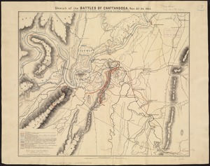
Sketch of the battles of Chattanooga, Nov. 23-26, 1863
7520.
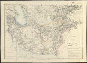
Sketch of the countries between Hindustan and the Caspian Sea
‹ Prev
Next ›
1
2
…
372
373
374
375
376
377
378
379
380
…
441
442